Broad Fourteens
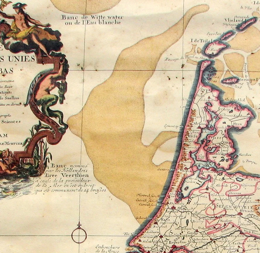
On a 19th-century nautical chart of the southern North Sea, between the English coast and the Netherlands, the depth soundings start to repeat themselves. Fourteen. Fourteen. Fourteen fathoms. The numbers march across the page in monotonous columns, marking a submerged plateau where the seabed sits stubbornly at the same depth for thousands of square kilometers. Sailors began calling it the Broad Fourteens - the Dutch say *Breeveertien* - and the name stuck. It looks like nothing on a chart. It looks like nothing from the surface. But the Broad Fourteens has been a battlefield, a graveyard, and a navigational chokepoint for as long as there have been ships large enough to care about depth.
Why the Sea Forgot to Get Deeper
Twenty thousand years ago, in the last glacial maximum, the Broad Fourteens was not sea at all. It was a rolling plain - part of what archaeologists now call Doggerland - where mammoths grazed and Mesolithic hunters built camps among the willow scrub. Fishermen still dredge up worked flints and the occasional human bone from the depth between 50 and 60 feet. When the glaciers melted and the seas rose, Doggerland drowned in stages, but the flat plateau structure remained, capped now by sand and silt rather than tundra grass. Geologically the Broad Fourteens is a sibling of the Long Forties, another submerged plateau further north - both relics of a continent that European sea levels had not yet swallowed.
The Limits of a Modern Hull
Fourteen fathoms is roughly twenty-six meters. That's enough water for a fishing trawler, a frigate, a cruise ship, even most modern container vessels. But the largest oil tankers, fully loaded - the ultra-large crude carriers carrying half a million tonnes of oil from the Gulf to Rotterdam - cannot cross the Broad Fourteens at all. Their draft is too deep. The plateau forces them to route north around it through deeper channels, or south through the Strait of Dover. A patch of sea that looks like open water on any modern marine chart is, for the world's largest ships, an unmovable wall.
September 22, 1914
At 6:30 in the morning, three British armored cruisers were patrolling the Broad Fourteens in line abreast. HMS Aboukir, HMS Hogue, and HMS Cressy were old ships, manned heavily by reservists and naval cadets - some of the boys aboard were not yet sixteen. A German submarine commander named Otto Weddigen, in U-9, sighted them through his periscope. He fired one torpedo at Aboukir. She flooded, listed heavily, and began to capsize. Hogue, assuming a mine had been struck, closed to rescue survivors and was torpedoed in turn. Cressy, doing the same for Hogue, was hit by Weddigen's final torpedoes a few minutes later. Within ninety minutes, all three cruisers were on the bottom of the Broad Fourteens. Approximately 1,459 British sailors died - many of them teenagers, many trapped below decks as the ships rolled over. It was the moment the Royal Navy learned, in a single morning, what submarines could do to surface fleets.
The Names Below the Surface
The wrecks of Aboukir, Hogue, and Cressy still lie on the Broad Fourteens, designated as war graves under both British and Dutch law. Salvage divers have stripped portions of them for scrap metal over the decades - a recurring controversy, since the men aboard them were never recovered. The exact location of each wreck is known to Dutch maritime authorities and quietly guarded against unauthorized visitors. On the anniversary of the sinkings each September, small ceremonies are held by descendants of the crews; the Royal Navy occasionally places memorial wreaths at the position. The teenagers who died at U-9's hand never came home. They are still there, twenty-six meters down, beneath the same monotonous fourteens that appear on every modern chart.
Cinema and Memory
In 1956, the British war film *The Broad Fourteens* dramatized Royal Navy motor torpedo boat operations in these same waters - this time during the Second World War. The film made the name briefly famous outside of maritime circles. But the Broad Fourteens does not really need film to be remembered. Every sonar chart, every shipping manifest, every fisheries report, every offshore wind tender along the Dutch coast still references the plateau and its shallow, even depth. The Hollandse Kust wind farms now rise from its waters. Container ships transit its edges hourly. And below the working sea surface, the geology that drowned a continent and trapped a navy continues to do exactly what it has done for ten thousand years: stay at fourteen fathoms.
From the Air
The Broad Fourteens is a broad sea area centered roughly at 53.00°N, 3.75°E, extending between 52°30'N and 53°30'N and between 3°E and 4°30'E. From cruising altitude on a clear day the plateau itself is invisible, but the absence of large vessel traffic across the area (compared to the busy shipping lanes that route around it) can be a subtle visual tell. Nearest airports: Amsterdam Schiphol (EHAM) 90 km east, Rotterdam The Hague (EHRD) 100 km southeast, Norwich (EGSH) 175 km west. North Sea low cloud and haze are routine; CAVOK conditions are rare.
Nearby Stories
- Hollandse Kust West Offshore Wind Farm 8.1 km away
- KLM Flight 608 11 km away
- Antiope 14 km away
- French submarine Amazone (Q161) 19 km away
- Battle of Lowestoft 33 km away
- Holmes's Bonfire 67 km away
- Caister-on-Sea 104 km away
- HMS Cobra 138 km away