Bronckhorst
The municipality is enormous. The town it is named after is tiny. Bronckhorst sprawls across the middle of the Achterhoek, ranking as roughly the twelfth largest municipality in the Netherlands by area, and yet its name comes from Bronkhorst - the smallest city in the country, a place you can walk across in about ten minutes. The administrative fiction is recent: the municipality only came into being in 2005 when five older councils were stitched together. The names underneath it are not. Hengelo. Hummelo. Keppel. Steenderen. Vorden. Zelhem. Each comes with its own past, its own quirks, and in one case - Vorden - a cluster of eight castles that earned the surrounding countryside a title from a national competition almost fifty years ago.
An Argument with Geography
The Achterhoek - literally the back corner - is the eastern shoulder of Gelderland where the Netherlands quietly leans against Germany. Bronckhorst sits in the middle of it: flat-bottomed river country giving way to hedgerow farmland, with the Oude IJssel and IJssel rivers as its western limits. The municipality is large because the villages inside it are small and spread out, and the 2005 merger lumped them together for administrative neatness rather than for any shared identity. A resident of Vorden will tell you they are from Vorden. A resident of Zelhem will tell you they are from Zelhem. The Bronckhorst label is for letters from the tax office.
Vorden and Its Eight Castles
If the Achterhoek has a castle capital, it is Vorden. Eight castles surround the town - close enough to bike between in a single afternoon, far enough that each holds its own court of hedgerows and grazing fields. The set was famous enough in its day that in 1976 Vorden was crowned the pearl of Gelderland for them. The castles have not changed much. Some accept visitors, some are private homes, and a few are landscape features best appreciated from a respectful distance, which is how castles often want to be appreciated anyway. Hackfort, owned since 1981 by Natuurmonumenten, is among the most accessible. The others can be sought out by anyone with a bicycle and a willingness to read brown signs.
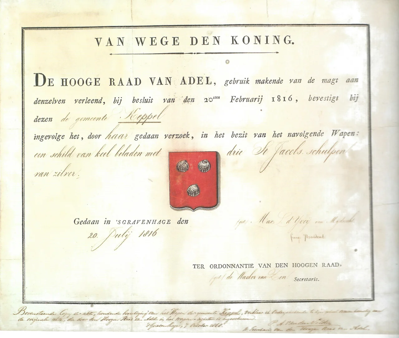
The Watermill on the Old Island
South of Vorden, the village of Keppel is doing the trick where one name covers two settlements. Hoog-Keppel - High Keppel - is residential and orderly. Laag-Keppel - Low Keppel - is the part you go to see. The nineteenth-century Keppelse Watermolen turns between the Oude IJssel and an old diversion of the river that has been partially blocked off, leaving behind a former island. On that island sits Kasteel Keppel, a castle founded around 1300 and rebuilt in the seventeenth century after it was destroyed in 1582 during the upheavals of the Eighty Years' War. The combination of mill, moat-river, and reconstructed castle is the kind of layered landscape that Dutch water management quietly produces almost everywhere it operates.
The Other Five Villages
Hengelo - not to be confused with the larger Hengelo across the border in Overijssel - hosts an annual road race on the Varsselring circuit, a public-road course that turns ordinary village streets into a national-class racetrack for a weekend each summer. Steenderen, more practically minded, is home to potato processor Aviko and dairy giant FrieslandCampina; it is an industrial town that earns its keep and does not pretend to be anything else. Hummelo lost its main-road traffic when the highway was rerouted around it, and the shopkeepers paid the price, but the bypass also left behind a pleasantly quiet centre. Zelhem is the larger town, anchored by the Lambertikerk - a medieval church at its centre - and clipped by the long-distance Pieterpad walking route that crosses the entire Netherlands from Pieterburen in the far north to Sint-Pietersberg in the south.
Getting Through It
Bronckhorst is built for cars and bicycles, in roughly equal measure. The N314, N315 and N316 form the road skeleton; the villages themselves are best wandered on foot or on two wheels, which the Dutch will be quick to recommend. From Doetinchem, Doesburg or Zutphen, the region opens up easily by car. From Germany, the route runs in past Bocholt or Emmerich am Rhein. The point of being here is not to see one thing. It is to see a low, layered, lived-in landscape - farms, churches, watermills, castles, the occasional motorcycle race - that has been arranged this way for centuries, and that a 2005 administrative merger has done very little to disturb.
From the Air
Coordinates 52.05°N, 6.30°E, the eastern Achterhoek of Gelderland near the German border. From the air the municipality reads as a mosaic of small villages, river valleys (Oude IJssel and IJssel), and hedgerow farmland; Vorden's castles are concentrated in the wooded country to its immediate north. Nearest airfield is Teuge International (EHTE), about 35 km northwest; Twente (EHTW) lies roughly 50 km north. Recommended viewing altitude 3,000-5,000 ft AGL.
Nearby Stories
- Haaksbergen 5.8 km away
- Heerde 6.1 km away
- Kleve 7.3 km away
- Heesen Yachts 9.8 km away
- Aviodrome 11 km away
- Grebbe Line 12 km away
- Raesfeld Castle 15 km away
- Hans Philipp 17 km away