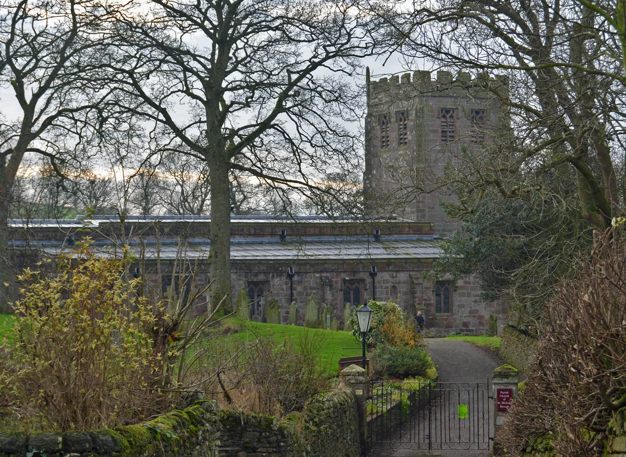

Brough, Cumbria
There are two Broughs. There is Market Brough to the north, strung along the main road, and Church Brough to the south, gathered around a green and a Norman church and the ruined castle of the Cliffords. Until 1977 they were physically continuous; then the A66 bypass cut between them and made the split literal. The village has been here, in one form or another, since Roman soldiers manned the fort of Verterae - "The Forts" - to guard the pass over Stainmore.
Verterae
Brough sits where the Roman road climbed out of the Eden valley toward Stainmore on its way to York. The Roman fort - Verterae, plural, perhaps because it commanded more than one approach - occupied the ground south of Swindale Beck, and the rectangle of its earthworks is now a Scheduled Ancient Monument. The road that ran through it linked Luguvalium (Carlisle) with Eboracum (York) and points south. By the 11th century the fort was a ruin, but its earthworks were too useful to ignore: when William Rufus's masons built Brough Castle around 1092 they set it inside the northern part of the old fort and reused the existing defences. The result is a place where every layer of northern English history is still visible if you know where to look: Roman fort, Norman castle, medieval church, market village, dual carriageway.
St Michael's and the Heaviest Four
St Michael's Church in Church Brough has Norman bones - parts of it may have been damaged when William the Lion's Scots attacked the castle in 1174 - and a sixteenth-century body. The north aisle was added in the fourteenth century. The tower was built by Thomas Blenkinsop of Helbeck in 1513. Up in that tower hang four bells, and those four bells are claimed as the heaviest ring of four bells hung for full-circle ringing anywhere in the world. They were taken down in November 2022 for restoration; the restored bells were test-rung on 29 June 2023 and blessed by Bishop James Bell in a benefice service on Sunday 30 July 2023. There is also a large war memorial in the nave - a reminder that even villages this small sent their share of young men to the twentieth century's wars.
The Burning Holly Tree
Brough has held onto a Twelfth Night tradition that goes back at least to the eighteenth century. A holly tree - later, ash trees were substituted - would be set alight and carried through the village, followed by a brass band. When the flames had partly gone out, the procession would aim for a pub, where the party continued into the early hours. The custom feeds on the same midwinter impulse that produced wassailing and Yule logs across England: light fire in the darkest week of the year and refuse to take it seriously. A second yearly fixture, the March Fair on the second Thursday of the month, drew dealers and farmers in the days when sheep and cattle moved through Brough on their way to and from Pennine pasture. The Brough Agricultural Show every August carries something of that older market-day spirit forward.
Bells, Castles, Castles, Hotels
Two castles are visible from Brough. The first is Brough Castle itself, English Heritage's free-to-visit ruin on the spur above the bypass. The second is Augill Castle, a Victorian mock-medieval pile built in 1841 by John Bagot Pearson of Kirkby Lonsdale as a weekend retreat; it is a Grade II listed building and now runs as a small hotel where guests can sleep in turrets and ring for service. Brough sits on the A66 trans-Pennine road about eight miles south-east of Appleby-in-Westmorland and five miles north-east of Kirkby Stephen, with Kendal twenty-eight miles to the south-west on the A685. The 2021 census put the village's population at 820. The local football club, refounded in 2020, traces a continuous lineage back to at least 1889 and plays in blue-and-white stripes on a pitch in Church Brough called Coltsford Common - the same flat ground from which the castle ruins make their best view.
From the Air
Coordinates 54.526 N, 2.319 W, at the western foot of the Stainmore Pass. Brough Castle's tower and the spire of St Michael's are the two clearest landmarks from the air; the A66 bypass slices visibly across the village. Best viewed at 2,000-3,000 feet AGL. Nearest ICAO airport: EGNC (Carlisle Lake District) about 25 nm to the north-west, EGNT (Newcastle) about 55 nm to the north-east.
Nearby Stories
- Jervaulx Abbey 5.6 km away
- West Stanley Pit Disasters 5.7 km away
- Ullswater 5.7 km away
- Battle of Piercebridge 7.3 km away
- Yorkshire Dales 14 km away
- Grange-over-Sands 16 km away
- Vindolanda 17 km away