Burning Springs, West Virginia
On the evening of May 9, 1863, people in Parkersburg watched the eastern sky go orange. The glow was forty-two miles away, on the Little Kanawha River, where every barrel and well and pumphouse in a town called Burning Springs was on fire. Crude oil floated downstream and burned as it floated, so for hours the river itself was a sheet of flame. Confederate cavalry watched from the bluffs. General William E. Jones, who had given the order, reported to Robert E. Lee that it was a 'scene of magnificence that might well carry joy to every patriotic heart.' Nothing quite like it had ever happened in a war before. Nothing exactly like it ever needed to happen again.
Before Pennsylvania, Before the Boom
Native hunters had known about the seeps at Burning Springs Run for generations - bubbles of gas that you could touch with a torch and watch ignite on the water. White settlers used the oily film as liniment, sold in bottles as 'Seneca Oil' for arthritis and toothache. In 1840, a New York City judge named William P. Rathbone bought twelve thousand acres around the springs on a hunch that something more lucrative might lie underneath. He died before he saw it proven right. Twenty years later his sons - Cass and Val Rathbone - sank a drill near the riverbank. In July 1860, less than a year after Edwin Drake's better-remembered Pennsylvania well, they hit. The well came in at a hundred and forty feet and produced a hundred barrels a day. It was one of the first true gushers in the United States.
Ten Thousand People in a Hollow
What followed is the shape every boomtown takes, just compressed and intensified. The Rathbones sold off seventy one-acre parcels to anyone with cash and a drilling rig. By the spring of 1861 the river bottom was a forest of derricks - eighty to a hundred steam-powered wells pumping around the clock. Burning Springs ballooned to roughly ten thousand people, briefly larger than the county seat at Elizabeth and larger than Parkersburg itself. Hotels and saloons threw up clapboard walls in days. Teamsters hauled barrels down to the Little Kanawha, where flatboats waited to float them to the Ohio. There were no zoning rules and there was very little law. Newspapers in faraway cities sent reporters to gawk at the boards laid over mud, the men sleeping in shifts in single rented beds, the fortunes made and lost in a week.
Industrial War, First Edition
The Confederacy noticed. By 1863, Burning Springs was producing as much oil as any field on earth, and most of that oil was lighting Union lamps and lubricating Union machinery. In late April, Brigadier Generals William E. Jones and John D. Imboden launched a long sweeping raid across the new state of West Virginia, burning Baltimore and Ohio Railroad bridges as they went. On May 9 they rode into Burning Springs. There was nothing to fight - the workmen scattered - so the soldiers methodically set fire to the storage tanks, the engines, the pump houses, the loaded barrels stacked on the riverbank. Burning oil poured into the Little Kanawha and turned the stream itself into a moving wall of fire. Jones, by his own count, claimed a hundred and fifty thousand barrels destroyed. The estimate was probably high. The novelty was not. Historians today recognize this as the first time anyone, anywhere, attacked an oilfield as a strategic target. Industrial warfare had a birthday, and this hollow in Wirt County was it.
What Boom Leaves Behind
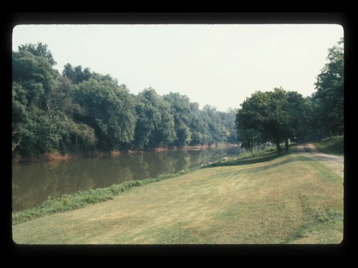
The wells were rebuilt in time, and oil continued to come out of Burning Springs for decades. But the field was always smaller than people had hoped, and the bigger Pennsylvania discoveries pulled capital and attention east. The population drained off year by year. By 1900 Burning Springs was a quiet farm town with a memory; by mid-century it was barely a hamlet. Today a state historic marker, a tiny park, and the Burning Springs Annex of West Virginia Independence Hall hold the story. Walk the riverbank and you can still see iron casings sticking up out of weeds, old wells that nobody pulled because nobody could be bothered. The Little Kanawha runs clear past them. The fire that turned night to day in 1863 is a hundred and sixty years gone, and most maps don't even bother to label the place anymore.
Why It Still Matters
Burning Springs is the kind of place every modern oil province has at its root - the small, frantic, half-forgotten rush that proved the geology before the big money showed up. It is also a sobering footnote in the long history of war. Every pipeline strike since, every refinery bombed in two world wars and a dozen smaller ones, every oil terminal targeted in the conflicts of our own century, traces back to a precedent set on this riverbank by men on horseback with torches and a strategic theory. The wells burned for days. The smoke could be seen for a county or more. And nobody who watched it from the hills above Burning Springs ever quite forgot what they had seen.
From the Air
Burning Springs lies in Wirt County, West Virginia, at roughly 38.997 degrees N, 81.311 degrees W, on the Little Kanawha River about forty miles east of Parkersburg. From 4,000 to 6,000 feet AGL the river makes a tight series of S-curves through wooded Appalachian foothills; the old oilfield occupies the bottomland on the southwest bank. The nearest tower-controlled field is Mid-Ohio Valley Regional (KPKB) at Parkersburg, twenty-five nautical miles west-northwest. For VFR pilots, Wirt County Airport (I80) sits ten miles south. Expect haze in summer; the valleys here trap moisture and the ridges generate afternoon convective build-ups.
Nearby Stories
- Glenville, West Virginia 1.9 km away
- Mountaineer Power Plant 5.1 km away
- Gen. John McCausland House 5.2 km away
- Volcano, West Virginia 9.5 km away
- Westsylvania 9.5 km away
- Strouds Run State Park 18 km away
- Salem University 28 km away
- Booger Hole, West Virginia 31 km away