Butjadingen
On January 13, 1362, the North Sea climbed over the dunes and stayed for two centuries. The Second Marcellus Flood - named for a long-dead pope whose feast fell that week - drowned villages, redrew coastlines, and turned a Frisian backwater into an island. Butjadingen would not rejoin the mainland for nearly two hundred years. The name itself remembers what the sea did: in Old Frisian, *buten* means 'outside,' and Jade is the river. The lands outside the Jade. The lands the water cut away.
When the Sea Took a Bite
The Frisian coast in the 14th century was not the firm line modern maps suggest. It was a low, wet, negotiable thing - a patchwork of marsh and peat that the North Sea worked at constantly. The Marcellus floods of 1219 and 1362 simply finished what slower tides had begun. Saltwater swept inland, drowned the villages that had grown along the old shoreline, and left a peninsula transformed into an island, separated from the rest of Lower Saxony by a new bay called the Jade Bight. The free Frisian communities that had farmed this land for generations were broken up by the water. Some places vanished entirely under the waves. Others - Butjadingen among them - survived, but as something newly geographic, newly fragile.
The Lands Beyond the Jade
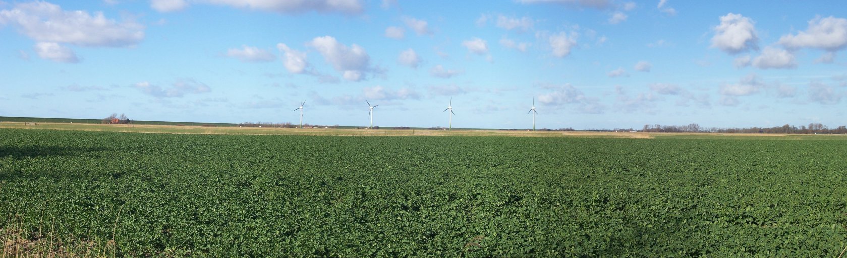
Today Butjadingen sits on the German North Sea coast, hemmed by the Jade River to the west and the Weser to the east, with the Wadden Sea stretching out beyond. The peninsula belongs to the Wesermarsch district of Lower Saxony, sparsely populated and slow-paced - a place where the land is flat enough that the sky takes over the view. The villages of Tossens, Burhave, and Eckwarden draw summer visitors who come for the beach, the wind, and the wide horizons. Dikes that the Counts of Oldenburg and their descendants raised across the centuries hold the sea at arm's length now, but the names on the maps still tell you who used to be in charge.
The Wadden Edge
Off the peninsula's western shore lies one of Europe's strangest ecosystems: the Wadden Sea, a vast tidal flat that empties and refills twice each day. About 23 kilometers offshore sits tiny Mellum island, an uninhabited bird sanctuary. The whole foreshore is part of the Nationalpark Niedersächsisches Wattenmeer, one of three German Wadden Sea national parks and a UNESCO World Heritage Site. At low tide, locals and visitors walk out across the mudflats - a practice called *Wattwandern* - on ground that is technically seafloor. A few hours later, it is sea again.
Getting On and Off
The peninsula is still connected to the world by water as much as by road. A ferry crosses the Weser from Nordenham to Bremerhaven year-round. In summer, another ferry runs across the Jade from Eckwarderhörne to Wilhelmshaven, a route that traces almost exactly the gap the floods left behind. Agriculture and tourism do most of the economic work here - dairy cattle on the polder pastures, holiday cottages near the dunes. The peninsula's defining fact remains its relationship with the sea, which is sometimes gentle and sometimes not.
From the Air
Located at 53.55°N, 8.33°E along Germany's North Sea coast in Lower Saxony. The peninsula is wedged between the Jade Bight (west) and the Weser estuary (east), with the Wadden Sea stretching northwest. Recommended viewing altitude FL060-FL100 for the tidal flat patterns. Nearest airports: Wilhelmshaven-Mariensiel (EDWI) just across the Jade, and Bremen Airport (EDDW/BRE) ~50 km southeast. Visibility tends to be good in summer; coastal haze and low stratus common in winter.