Jümme
In the 1920s, an East Frisian geographer named Dodo Wildvang gave this stretch of damp grassland a grand nickname: East Frisian Mesopotamia. He meant it as a joke, partly - a corner of north Germany squeezed between two small rivers, the Jümme and the Leda, comparing itself to the cradle of civilization. The locals liked it anyway. The Samtgemeinde of Jümme still calls itself Mesopotamia. It also calls itself Zweistromland - Two Rivers Land - and on the rivers it still runs the oldest hand-worked ferry in Central Europe.
The Two-Rivers Country
Jümme is a Samtgemeinde - a collective municipality of three villages, Detern, Filsum and Nortmoor, stitched together by 1973 local government reform. About 6,500 people live across its 82 square kilometres, a population density of 78 per square kilometre that is sparse even by East Frisian standards. The Jümme and the Leda meet on the border with the town of Leer. The land between them is dairy country - 81 percent agricultural, almost no forest, an open horizon of grass and dikes and slow brown water. Five and a half percent of the territory is covered in water itself; more than 150 kilometres of rivers and streams thread the area, alongside lakes, oxbows, and bog kolks. The Frisians have a word for the small drainage ditches that crisscross the fields: Schloot, roughly equivalent to the East Anglian 'drain' or 'lode'. The whole place is engineered to keep the sea out and let the rain run away.
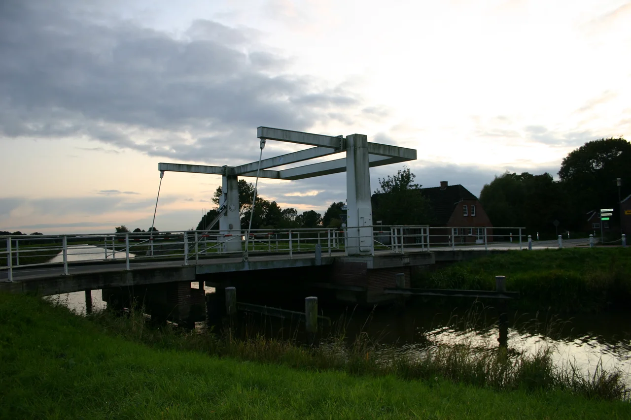
The Pünte and the Smallest Bridge
At Wiltshausen, on the Jümme, the Pünte still operates. It is a hand-worked cable ferry - a flat platform hauled across the river by a ferryman pulling on a rope - and it is reportedly the oldest such ferry still working in Central Europe. There has been a crossing here for centuries; the engineering is medieval; the experience is exactly what it sounds like. A few kilometres away, in the district of Amdorf, you can drive Germany's smallest road bridge - a piece of infrastructure that locals are quietly proud of, the kind of charming superlative that defines small-town tourism. Beyond those, the cultural heritage is mostly old churches and one ruined castle. Filsum's 13th-century church of St. Paul is the oldest. Stickhausen Castle, built around 1435, was for three centuries a border fortification for the County of East Frisia against neighbouring Oldenburg.
Chieftains, Ferries, and Polders
In 1426, the East Frisian chieftain Focko Ukena - one of the dominant figures of that lawless century - routed the allied forces of Ocko II tom Brok at the Battle of Detern, here in what is now Jümme territory; Ocko himself was not finally captured until the Battle of the Wild Fields the following year. The Frisian Freedom, the consular self-government that had held this coast together since the early Middle Ages, was already collapsing; powerful families like Ukena's were filling the vacuum. Stickhausen Castle came soon after, built to mark the border and stayed standing through the Thirty Years' War, when this strategic patch changed hands three times. The modern story is quieter and almost as old: holding the water back. The Leda-Jümme association manages dikes, sluices, and five great controlled-discharge polders - the one south of Detern alone can swallow three million cubic metres of stormwater. When the Leda Sluice at Leer closes against North Sea storm surges, the rainwater coming down off the geest has to go somewhere. The polders catch it. The Jümme tides keep coming. The Pünte ferryman keeps pulling. This is what Mesopotamia looks like when it works.
From the Air
53.2333 N, 7.6333 E, in the eastern part of Leer district. The double thread of the Leda and Jümme rivers is the visual signature, with flat marshland and polders spreading between them. Nearest airfield is Leer-Papenburg; Bremen (EDDW) is the closest larger airport about 70 km east. Emden (EDWE) lies to the west. Coastal cloud and crosswinds are typical even in summer.
Nearby Stories
- Hümmling 1.9 km away
- Battle of Heiligerlee (1568) 2.7 km away
- Frisia 5.1 km away
- Oldenburg Air Base 5.4 km away
- Lake Bant Tern Colony 8.3 km away
- Low-Frequency Array 11 km away
- Eemshaven Railway Station 14 km away
- Visbek 18 km away