Visbek
There is a bride and a bridegroom out in the heath near Visbek, and they have been waiting at the altar for about five thousand years. The Visbeker Braut runs roughly 80 metres long; the Visbeker Bräutigam stretches more than 100. They are not statues. They are megalithic long tombs, lines of glacial boulders that the Funnelbeaker farmers of the late Neolithic dragged into place between 3500 and 2800 BC and arranged into rectangular galleries that frame the sky. The village of Visbek itself is a sleepy Lower Saxon municipality of poultry farms and brook-fed watermills. The stones are why anyone outside the district has heard of it.
The Bride and the Bridegroom
The names are folklore, not archaeology. Local legend turned the two huge stone alignments into a wedding party petrified mid-procession - bride here, bridegroom over there, attendants scattered in between. What they actually are is more interesting. They belong to the Funnelbeaker culture, the first farmers of the North European Plain, who left behind hundreds of these *Großsteingräber* across northern Germany and the Netherlands. The Visbek monuments are among the largest. The Visbeker Bräutigam is more than 100 metres long, a corridor of upright sarsens enclosing a chambered tomb at one end. The Visbeker Braut, the Bride, is shorter but no less imposing. To stand beside them is to feel the weight of a society that, with nothing but ropes, logs and human shoulders, moved boulders weighing several tonnes across the sandy geest.
Heidenopfertisch and the Hidden Heath
The Bride and Bridegroom are only the headliners. Tucked into the woods around Visbek are more dolmens with names like *Mühlensteine* (millstones), *Schmeersteine* (grease stones) and the eerie *Heidenopfertisch* - the 'heathens' sacrificial table.' That last name is a Christian-era insult; nothing about the structure suggests sacrifice, and the people who built it had no idea they would one day be called heathens. The stones sit in the long, narrow nature reserve that wraps Visbek to the west, north and east, where the geest brooks of the Aue, Twillbäke and Visbeker Bruchbach run through wet lowlands and turn the wheels of old watermills - the Kokenmühle and the Neumühle still stand on the Endel stream. It is exactly the kind of landscape a Neolithic community would have chosen: sandy ground that drains, but with reliable water just below.
Charlemagne's Borderland
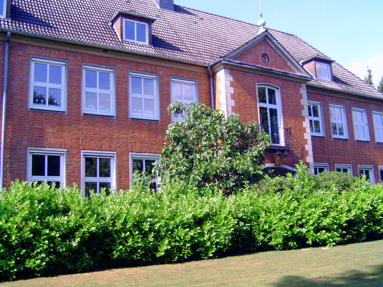
Four thousand years after the last Funnelbeaker tomb was built, Visbek became a frontier of a different empire. In the late 8th century, the Frankish king Charlemagne ordered the founding of a monastery here - the *cellula fiscbechi*, in the Old Saxon name from which the modern Visbek derives. Abbot Gerbert Castus took charge of converting the surrounding Saxon shires of Lerigau, Hasegau and Venkigau to Christianity. The Saxons did not exactly volunteer for this; Charlemagne's wars against them were brutal, the conversions often forced. A statue of Gerbert Castus still stands at St. Vitus parish church in the village. In 855 King Louis the German handed the abbey and its lands to the powerful Imperial Abbey of Corvey, folding Visbek into a wider Carolingian network.
Chickens and Schützenfest
Modern Visbek is, unexpectedly, a centre of the global poultry industry. The PHW Group, Germany's largest poultry producer, has its headquarters in the Visbek hamlet of Rechterfeld. The EW Group - the world market leader in poultry breeding and genetics - is also based here. The Plukon Food Group runs processing in the village. None of this is what visitors come to see. They come for the stones, for the brook-side walks through the Endeler and Holzhauser Heide nature reserve, and, every Pentecost, for the Schützenfest hosted by the St. Hubertus shooting club - the kind of small-town festival of folk processions and fairground rides that holds the Oldenburger Münsterland together. At the end of May the Visbek Rockt festival fills the same village with regional bands. The five-thousand-year-old wedding party stays where it is, out in the heath, waiting.
From the Air
Visbek lies at 52.83 degrees north, 8.32 degrees east, on the North German Plain in the Vechta district of Lower Saxony, about 12 km north of Vechta and 35 km southwest of Oldenburg. The Visbeker Braut and Bräutigam megaliths are out in the wooded heath west and north of the village. From the air the area is flat farmland and forest pocked with the dark green of nature reserves; the megaliths are not visible from cruising altitude but can be spotted from low-level flight as small clearings in the trees. Bremen (EDDW) is the nearest large airport, about 50 km northeast; Münster-Osnabrück (EDDG) lies about 60 km southwest. The Cloppenburg-Varrelbusch airfield (EDWV) is roughly 20 km west.
Nearby Stories
- 1st Panzer Division (Bundeswehr) 3 km away
- Damme Hills 3 km away
- Stickhausen Castle 16 km away
- Hümmling 17 km away
- Siege of Lingen (1597) 29 km away
- Gardelegen Massacre 178 km away
- Ludwigslust Palace 182 km away
- Wöbbelin Concentration Camp 190 km away