
Cann Quarry Canal
In 1778, the engineer John Smeaton walked the banks of the River Plym with a commission from the slate-quarry owner John Parker. Could a canal carry Cann Quarry's slate to the navigable river at Marsh Mills? Smeaton did the maths. Two and a quarter miles, a thirty-foot drop, several locks required, and only one cargo to pay for it all. His verdict was honest: a tramway would do the job for half the cost. Parker thanked him, paid him, and built nothing for the next fifty years. When a canal finally did get built here in 1829, it was less an act of engineering than an act of spite.
A Quarrel Becomes a Canal
The story of how the canal eventually got built begins, oddly, with a railway. In 1821, directors of the new Plymouth and Dartmoor horse tramway needed permission to deviate their route. To get John Parker's son, by then the Earl of Morley, to agree, they promised a branch line to his quarry. The company hit financial trouble and the branch was never built. Morley sued, lost the argument, and the directors made him a counter-offer: build the branch yourself, and we'll give you preferential tolls on the connection. Morley dug in his heels. He decided to build a canal instead. A six-foot-wide tub-boat canal would carry the slate down the valley to Marsh Mills, where it would meet either the turnpike road or the tramway, his choice.
Opened, Then Obsolete
The canal opened on 20 November 1829. It ran for just under two miles. A short half-mile tramway carried cargo the final stretch to Crabtree Junction, crossing the River Plym on a graceful two-arched cast iron bridge that still stands. The whole arrangement worked, after a fashion. But within a decade, Earl Morley had extended his own tramway up the valley, running it alongside and sometimes on top of the canal bank itself. By 1839 the canal had ceased to function as a navigation. The water that had carried slate barges was rerouted to drive the wheel at Marsh Mills corn mill instead, a job it would do quietly for the next ninety years until the mill's owners went bankrupt in 1927.
A Quiet Survival
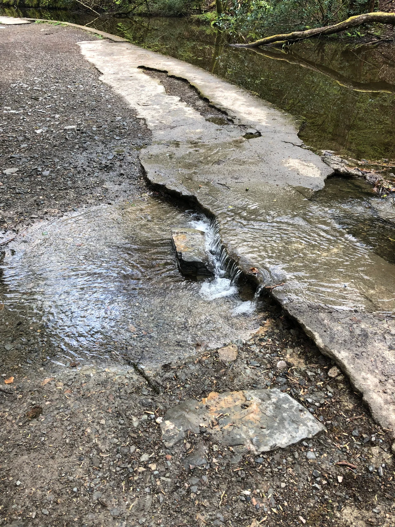
Crabtree Junction is gone now, buried under the interchange where the A38 meets the A374 and a motel parking lot. But Morley's two-arched iron bridge survives. The old tramway has become the West Devon Way, a long-distance footpath and cycleway that follows the river up into the woods. Most of the canal itself is still visible, a narrow channel running parallel to the path, often filled with rainwater, framed by ferns and moss. The Plym Valley Railway, a heritage line on what was once the South Devon and Tavistock branch, is being extended toward Plym Bridge. Walk the route on a wet day and you can see all of it at once: the quarry that started the argument, the canal that lost it, and the tramway that won.
From the Air
The canal route runs at roughly 50.41 degrees north, 4.08 degrees west, in the Plym Valley between Plymouth and Dartmoor's southern edge. From the air the corridor reads as a wooded green strip following the river east-north-east from the A38 interchange toward Plym Bridge. Plymouth (EGHD) lies 4 nm to the south-west; Exeter (EGTE) 36 nm to the north-east. Best viewed at 1,500-2,500 feet with low sun, when the cycleway, the old canal channel, and the iron bridge over the Plym stand out against the valley floor.
Nearby Stories
- Davidstow Circuit 3.7 km away
- Golden Hind 3.9 km away
- Powderham Castle 4.4 km away
- Fowey Lifeboat Station 5.1 km away
- Okehampton Castle 12 km away
- Battle of Plymouth (1652) 19 km away
- Goonhilly Satellite Earth Station 44 km away
- German Submarine U-672 73 km away