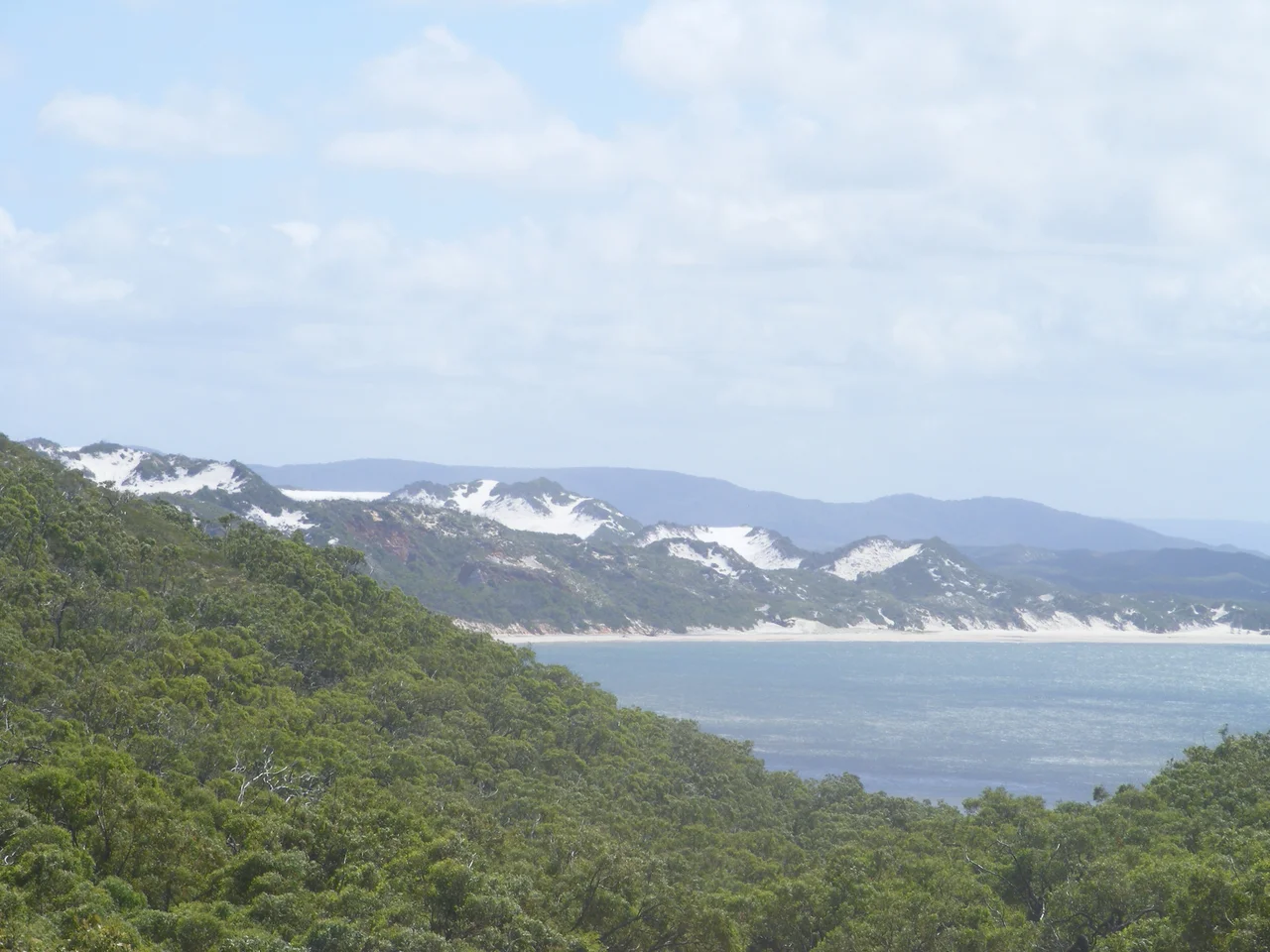

Cape York Peninsula
Stand at Pajinka, the very tip of the continent, and the land simply ends. The Coral Sea meets the Arafura Sea in a churn of current, and behind you stretches one of the largest tracts of unspoiled wilderness left on Earth. Cape York Peninsula reaches roughly 121,000 square kilometres into the tropics north of Cairns, a triangle of savanna, monsoon rainforest, and serpentine rivers that has never been carved into farms or cities. Fewer people live across this entire expanse than fill a single city suburb. What it holds instead is older and deeper: a living Aboriginal landscape that has been continuously inhabited for tens of thousands of years.
The Wet and the Dry
Here there are two seasons, and they remake the country between them. The Peninsula Ridge runs down the spine of the cape, splitting the watershed: rivers like the Mitchell, Archer, Wenlock, and Jardine drain west to the Gulf of Carpentaria, while eastern streams tumble toward the Coral Sea. Through the long Dry, those western rivers shrink to chains of waterholes and sun-cracked sand. Then the monsoon arrives. Torrential rains swell the channels into mighty brown waterways that spill across floodplains for kilometres, drowning the savanna and triggering an explosion of life across wetlands that swarm with fish, waterbirds, and saltwater crocodiles. To know Cape York you have to know it twice.
Many Nations, Many Tongues
There is no single Aboriginal people of Cape York. There are dozens. The peninsula is one of the most linguistically rich corners of the continent, home to languages including Uradhi, Yir-Yoront, Kuuk Thaayorre, Kuuku Ya'u, Wik tongues, and Kunjen, each tied to specific rivers, coasts, and stretches of country. Communities at Aurukun, Kowanyama, Pormpuraaw, Lockhart River, Hopevale, Mapoon, and Injinoo carry these traditions forward, alongside Torres Strait Islander communities at Bamaga and Seisia. This is not a wilderness that happens to have people in it. It is a homeland, mapped and named and storied across forty millennia, where knowledge of fire, season, and place has shaped the land itself.
A Gondwanan Ark
Tropical savanna once girdled the globe; today it survives largely degraded almost everywhere except here, where it remains abundant and fully functioning. Cape York shelters a mosaic of rainforest, grassland, heath, wetland, and mangrove of exceptional wilderness quality. Its flora carries the deep memory of Gondwana, mingled with species that drifted south from New Guinea across the shallow Torres Strait. In the rainforests of Kutini-Payamu live eclectus parrots and cuscus found nowhere else in Australia, eleven butterfly species seen only on the cape, and the great green birdwing on wings the span of a hand. Remarkably, not a single plant or animal species is recorded as having gone extinct here since European arrival.
Land Returned
The modern story of Cape York is, increasingly, a story of land coming home. The Cape York Land Council, formed in 1990, has won native title across vast portions of the peninsula, and through tenure resolution programs more than four million hectares of state land have been returned to Traditional Owners. In November 2021 a Federal Court ruling handed a huge tract of the eastern cape back to the Kuuku Ya'u and Uutaalnganu peoples; in 2022 further claims were recognised across the Torres Strait. A proposed 1980s spaceport that would have planted a launch town near the tip collapsed, and in 2017 that land too was returned to the Wuthathi, Kuku Ya'u, and Northern Kaanju. A submission to make this a World Heritage cultural landscape is now under way.
Getting There Is the Story
Reaching the tip is a feat of endurance, not a drive. Two unsealed roads thread north: the Peninsula Developmental Road and the Northern Peninsula Road, passable only in the Dry and only to four-wheel drives. Adventurers test themselves against the legendary Old Telegraph Track, a rough corridor of river crossings and creek fords that once carried the overland telegraph line and now draws drivers chasing the romance of the remote. Settlements are few and far between: the old goldfields port of Cooktown in the southeast, the bauxite town of Weipa on the gulf, and tiny service stops at Laura, Coen, and Lakeland. Everywhere else, the country belongs to itself.
From the Air
Cape York Peninsula spans from roughly 12°S at the tip to 16°S, centred near 15.00°S, 143.00°E, with the very tip (Pajinka) at about 10.69°S, 142.53°E. The peninsula is unmistakable from altitude: a great wedge of land narrowing to a point between the Gulf of Carpentaria to the west and the Coral Sea and Great Barrier Reef to the east. In the Wet (roughly December to April), expect towering monsoon cloud, thunderstorms, and flooded floodplains; the Dry brings clearer skies and smoke haze from savanna burning. Principal airports include Cairns (YBCS / CNS) to the south, Weipa (YBWP / WEI) on the gulf coast, and Horn Island (YHID / HID) in the Torres Strait near the tip. Remote airstrips serve communities such as Aurukun, Coen, and Lockhart River. Beware sparse navigation aids and very long distances between fuel stops.
Nearby Stories
- Musgrave Telegraph Station 28 km away
- Palmer River Gold Company Dredge 68 km away
- Aboriginal Shire of Kowanyama 72 km away
- Princess Charlotte Bay 72 km away
- Aboriginal Shire of Pormpuraaw 83 km away
- Coen, Queensland 97 km away
- Wik-Ngathan language 137 km away
- Old Laura Homestead 166 km away