
Carolinas
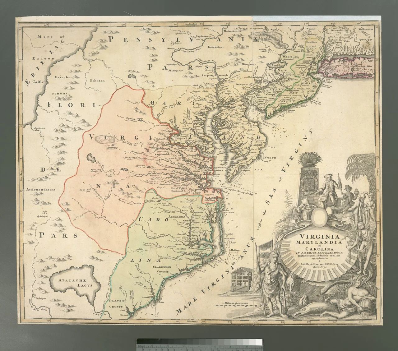
The name was a flattery. In 1663, eight English noblemen accepted a vast strip of New World coast from a grateful Charles II and named their prize Carolina, the Latin feminine of Carolus, meaning Charles. The king liked the gesture. The land would prove harder to flatter. Sixty-six years of arguing about defense, governance, and whether the soil should grow rice or tobacco ended in 1729, when seven of the proprietors sold back their shares and the Crown split the province in two. The Carolinas have been twin states ever since, sharing a border, a coast, and very little patience with being mistaken for each other.
Before the King's Name
Long before Charles, the land carried other names. Catawba, Cheraw, Cherokee, Tuscarora — peoples whose maps did not stop at the Atlantic. Spanish soldiers from Florida built Santa Elena in 1566 on the South Carolina coast and used it as a base for expeditions that pushed inland to the Appalachians. The colony lasted twenty-one years before the Spanish gave up and pulled south to St. Augustine. The French had tried first, in 1562 at Charlesfort, and failed even faster. For decades afterward, the territory remained mostly Native land, traded in by English merchants out of Virginia but uncolonized by Europe. The 1629 charter that Charles I issued to Sir Robert Heath, naming the place 'Carolana,' was never used. It took the second Charles to make the name stick.
Two States, One Argument
What divides North and South Carolina is not the surveyed boundary line — though that line itself wandered for nearly three centuries before being finally settled in 2016–2017, displacing a gas station and about sixteen homes and properties in the process. What divides them is older. South Carolina was settled from the sea, by planters out of Barbados who brought a slave-based plantation system and a Caribbean-tinged aristocracy to Charles Town. North Carolina was settled from the north, by smallholders drifting down from Virginia. South Carolina was the first state to secede from the Union in 1860; North Carolina was the second to last. By 1947, the journalist John Gunther could write that North Carolina was 'the most progressive Southern state' and South Carolina 'one of the poorest, and probably one of the balkiest.' The two states have spent four centuries proving him both right and incomplete.
Coast, Sandhills, Mountains
Geography ties them more firmly than politics divides them. Both states begin at the Atlantic — the long barrier islands of the Outer Banks in the north, the marsh-laced Lowcountry in the south — and roll westward through coastal plain, sandhills, and rolling Piedmont before climbing into the Blue Ridge. Both states' weather is shaped by the same hurricanes funneling up from the Gulf and the same Bermuda High pinning summer humidity over the longleaf pines. Tobacco grew in both. Cotton grew in both. The textile mills that defined the region from the 1880s through the 1990s rose and fell on both sides of the line, leaving behind brick shells along railway corridors from Spartanburg to Rocky Mount.
Money and Memory
Modern Charlotte sits at the geographic center of the Carolinas, straddling the metropolitan line, and has become the second-largest financial district in the United States after New York. Bank of America, Truist, Wells Fargo's East Coast operations, Duke Energy, Lowe's, Honeywell — the skyline reflects a region that pivoted hard from cotton and tobacco to banking and tech in two generations. But drive an hour from Uptown in any direction and the older Carolinas reappear: small towns built around courthouse squares, peach orchards in the Sandhills, fishing villages on the Pamlico Sound, Gullah communities on the Sea Islands. The Carolina Panthers play in Charlotte. The Carolina Hurricanes play in Raleigh. Both teams are claimed equally by both states — one of the few things they agree on without argument.
The Quiet South
Travelers used to the loud South of New Orleans or Atlanta sometimes miss what the Carolinas do. The accent is softer here, the food more restrained — vinegar barbecue in the east, mustard barbecue in the middle Palmetto State, tomato-based further west. The famous places are the obvious ones: Charleston, the Outer Banks, the Blue Ridge Parkway, Myrtle Beach. The interesting places are the quieter ones: Edenton on Albemarle Sound, where independence was effectively declared a year before Philadelphia caught up; Beaufort, South Carolina, where Spanish moss falls thicker than rain; the long pine corridor of the Sandhills, where the air smells of resin and a hundred small towns still take their meaning from a cotton mill that closed twenty years ago.
From the Air
The Carolinas span roughly 33°N to 36.5°N along the Atlantic seaboard, covering about 84,000 square miles across two states. Major airports: Charlotte Douglas (KCLT), Raleigh-Durham (KRDU), Charleston (KCHS), Greenville-Spartanburg (KGSP), Myrtle Beach (KMYR), Asheville (KAVL). The Blue Ridge ridge line dominates the western horizon. Eastward, the Atlantic coastal plain extends 100-150 miles inland before yielding to the long barrier-island chain. Best visual landmarks at altitude: the cape jut at Cape Hatteras, the Sandhills' distinctive sandy color band, and Charlotte's uptown skyline.
Nearby Stories
- Bennettsville, South Carolina 5.1 km away
- Green Ramp disaster 7.1 km away
- Lumberton, North Carolina 8.2 km away
- Carolina Sandhills 17 km away
- Fayetteville Regional Airport 23 km away
- Reed Gold Mine 32 km away
- Lynches River 37 km away
- Battle of Hanging Rock 47 km away