Castanhão Dam
The Jaguaribe was once called the largest seasonal river in the world - a river that ran in the wet months and turned to dust in the dry ones. For centuries, families in the Ceará sertão timed their lives to its rhythm. Then in 1995 the state started building a wall to change that. Seven years of construction later, on 23 December 2002, they closed the gates on the largest public reservoir in Brazil. The Castanhão Dam now holds 6.7 billion cubic meters of water - enough to cover 36,000 hectares when full - and keeps the Jaguaribe flowing year-round to a metropolitan region of nearly four million people. It is the reason Fortaleza has taps that work.
A Dam a Century in the Making
The idea of damming the Jaguaribe in this particular spot came from the Cunha family, who dominated the political oligarchy of the Ceará interior in the early twentieth century. They owned the Castanhão farm. The farm is now entirely submerged. The federal government's drought-relief agency DNOCS - the National Department of Drought Works, founded in 1909 - had been studying large reservoirs in the Northeast for decades, and the Castanhão was one of its flagship projects. Construction began in 1995 under governor Tasso Jereissati and was completed under governor Beni Veras on 23 December 2002. The formal opening came on 29 January 2004. The 12 floodgates released water at 300 cubic meters per second on opening day - an image of abundance that would not last.
The Engineering
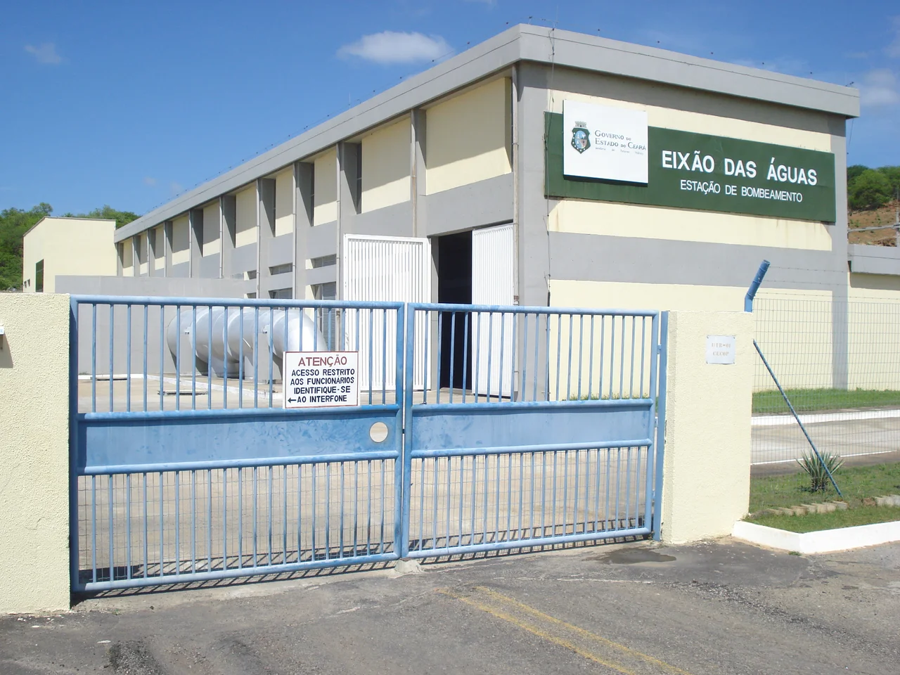
The main dam wall stretches 1,500 meters long and 11 meters wide, pierced by 12 floodgates and four dispersing valves, with a 106-meter spillway and a crown elevation of 111 meters. The reservoir it creates stretches 58 kilometers from southwest to northeast along the Jaguaribe, covers 325 square kilometers, and reaches depths of more than 50 meters in places. Embedded in the structure is a 22.5-megawatt hydroelectric plant - a modest one by Brazilian standards, but useful. Of the water released, roughly 9.5 cubic meters per second travels via the Eixão das Águas canal toward the metropolitan region of Fortaleza; another 5.5 cubic meters per second is fed back into the Jaguaribe itself, which the dam keeps flowing all the way to Itaiçaba, where the Canal do Trabalhador carries the water on to the state capital.
Nova Jaguaribara
The dam was controversial long before it was finished. Filling the reservoir required the flooding of the entire municipal seat of Jaguaribara - not just a few outlying farms, but the town itself. Thousands of people had to be relocated. A new town, Nova Jaguaribara, was constructed above the waterline to receive them. The process was bitter: land values, compensation amounts, and the question of what could be properly replaced and what could not all ran into each other. More than a decade after the waters rose, there were still outstanding indemnification claims. What lies beneath the water now is a subject of some local lore - streets, a church, houses - and a genuine curiosity for divers, who occasionally descend into the submerged city. The Castanhão Ecological Station was created separately, in 2001, as environmental compensation for the impact of the reservoir.
The Drought That Almost Emptied It
From 2012 through 2016, Ceará lived through its worst drought since 1910 - just 516 millimeters of rain across the worst years. The Castanhão, which had reached 97 percent of capacity in 2009, began a steady decline. By the end of 2012 it sat at 55 percent. By February 2016, releases had been cut to 5 cubic meters per second and water levels were still dropping a centimeter a day. By mid-2016 the reservoir held barely 550,000 cubic meters - a rounding error compared to its capacity. Tilapia farmers on the reservoir said they had months left to fish. By December 2016 the dam was at 5.17 percent of capacity. In February 2018 it bottomed out at 2.08 percent. Water rationing tightened in Fortaleza. A crack that had been spotted in one of the floodgates in 2014, when low water revealed it, remained unrepaired. The rains finally returned in February 2018. By mid-May the reservoir had crept back to 8.68 percent. It was a reminder of what the dam is - not a solution to drought, just a buffer against it.
What the Dam Holds
On a normal year the Castanhão holds about 37 percent of Ceará's total water storage capacity. Roughly 3.8 million people in the Fortaleza metropolitan region depend on it for drinking water. Another 43,000 hectares of irrigated agriculture depend on it too, along with the port and industrial complex of Pecém. The reservoir serves as a flood-control buffer for the Jaguaribe. It serves as a tourist attraction, with boating, fishing, and the occasional dive down to the old streets of Jaguaribara. Most importantly, it serves as the pivot around which half the state has redesigned its relationship with water. In a region defined historically by the seasonal river, the Castanhão has tried to turn seasons into constants. The 2012-16 drought showed the limits of that ambition. It did not erase it.
From the Air
The Castanhão Dam sits at 5.50°S, 38.45°W in the municipality of Alto Santo in the Ceará sertão, 307 km southwest of Fortaleza. The nearest airport is Jorge Amado / Dragão do Mar Regional Airport (SBAC) in Aracati, with Pinto Martins International Airport (SBFZ) in Fortaleza as the nearest major hub. The 325-square-kilometer reservoir stretches 58 km along the Jaguaribe River and is clearly visible from cruising altitude as an irregular blue sheet against the dry sertão landscape. The dam wall itself is 1,500 meters long. Water levels vary dramatically by season - the reservoir can cover 36,000 hectares when full.
Nearby Stories
- Ceará 32 km away
- Furna Feia National Park 56 km away
- Quixadá Monoliths Natural Monument 66 km away
- Mossoró 79 km away
- SS Annibal Benévolo 658 km away
- Morro do Chapéu State Park 669 km away
- Pé de Serra 682 km away