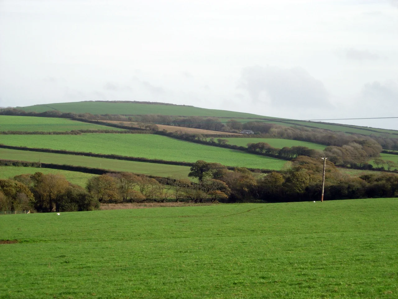

Castle an Dinas, St Columb Major
Stand on the highest of the three concentric ramparts at midsummer dawn and the whole north coast of Cornwall lies open beneath you. Castle an Dinas tops Castle Downs at 708 feet above sea level, three rings of ditch and earthwork dropped here by hands working in the third or second century before Christ. The Iron Age builders left no documents, but the people who came after them could not stop telling stories about this place. King Arthur rode out from here, they said, to hunt across Tregoss Moor. Royalists voted here in 1646 to surrender to Parliament. A man was caged here in 1671 and starved to death. The bonfires on the highest point each Midsummer Eve are older than any of it.
Arthur's Hunting Lodge
The first written account of Castle an Dinas comes from the antiquary William of Worcester, who visited Cornwall in 1478 and described the fort as already ruined: it lies on a high hill, he wrote, and a spring rises in the midst of the castle. He recorded a local legend that Tador, Duke of Cornwall and husband of King Arthur's mother, was slain here. Scholars now read this as a conflation of two figures from Geoffrey of Monmouth's Historia Regum Britanniae, but it may equally reflect a Cornish tradition that the medieval romance writers never knew. The 1504 Cornish-language play Beunans Meriasek casts Castle an Dinas as the residence of the Duke of Cornwall, who defeats the tyrannical King Teudar. A stone near St Columb, now lost, was said to bear the four hoofprints of Arthur's horse, set down as the king rode out to the hunt.
The Council of War
In March 1646 the English Civil War in the west was effectively over, though the men camping inside the Iron Age rings of Castle an Dinas had not yet admitted it. Sir Ralph Hopton's Royalist troops bedded down for two nights within the ramparts and held a council of war among themselves. They voted to surrender to the Parliamentarians. Only Hopton himself and Major-General Webb voted against. Within days Hopton had given up his sword at Tresillian Bridge near Truro. The hillfort, raised to defend Cornwall in the Iron Age, had served one last time as a military camp, this time to formalise defeat. A century and a half later, the Cornish historian Samuel Drew recorded a strange sight: a ghost army seen in the sky above the fort at the end of the eighteenth century. If true, he noted, it was a most unusual mirage. In 1867 the Celticist Henry Jenner heard from an old man at Quoit how Arthur's soldiers had been seen drilling on Castle an Dinas by moonlight, the light glancing off their musket barrels.
The Cage on the Rock
On a market day in June 1671 a man named John Trehenban, twenty-one years old and known locally as Tremmon, walked into the house of Captain Peter Pollard at the bridge in St Columb Major and murdered two young women: Anne Pollard, the captain's daughter, and Loveday Rosevear, aged seventeen, from St Enoder. He helped search for the killer afterwards, riding behind the bloodhounds on horseback, until his hat blew off and the dogs would not leave it. Eventually he confessed. The lane where the scent was picked up is still called Tremmons Lane. The court sentenced him to be caged on a rock at Castle an Dinas and left there to starve. The rock survives. Local people would say that if you ran around it fifty times you might hear his chains rattle. Tremmon begged food from a passing woman; she had only tallow candles, which he ate. Generations of Cornish parents called any wastrel child a right Tremmon. Local historian Marshel Arthur recorded the phrase still in use.
Russellite and Russet Hills
From 1916 to 1957 the slopes below the hillfort hosted Cornwall's largest wolfram mine, producing the tungsten ore that hardened steel for two world wars and the Cold War that followed. Many of the buildings still stand. The mine is the type locality for the mineral Russellite, named for the British mineralogist Sir Arthur Russell. Geologists also find arsenopyrite, cacoxenite, lollingite, phlogopite, topaz and turquoise here. The site was excavated archaeologically in 1961 and 1963 by Dr Bernard Wailes of the University of Pennsylvania, two seasons that confirmed the Iron Age date. The hillfort is one of the most important in the southwest of Britain, a circuit of earthworks engineered by people who left no written language behind them, only the wall they raised against an enemy whose name we will never know.
Midsummer Fires
On the eve of midsummer each year the Federation of Old Cornwall Societies lights a bonfire on the highest point of the fort, part of a chain of fires spreading across Cornwall in a tradition called Tansys Golowan. The ceremony predates Christianity in these islands, marking the longest day of the year as the wheel of the agricultural year turns. Cornish wrestling, the granite-tough grappling sport of the duchy, returned to the fort in 2023 for a tournament that decided the heavyweight, featherweight, middleweight and ladies championships. The hillfort that had hosted Arthur's hunters in legend, surrender in 1646, and a slow execution in 1671 went back to being what it had probably always been: a place where Cornish people gathered, on the highest ground they could find, to mark the things that mattered.
From the Air
Castle an Dinas sits at 50.43 degrees north, 4.89 degrees west, on a prominent hilltop two nautical miles east of St Columb Major and about five miles east-northeast of Newquay. From cruising altitude the three concentric rings of earthwork stand out against the surrounding heath, especially in low sun. Newquay Airport (EGHQ) lies five nautical miles west-southwest, making this an excellent landmark on approaches and departures. Exeter (EGTE) is eighty nautical miles northeast. The hill is exposed to Atlantic weather; clear visibility days reveal the fort's geometry most clearly.
Nearby Stories
- Mount Edgcumbe Country Park 2.6 km away
- Tintagel 4.2 km away
- Wheal Trewavas 6.1 km away
- Tehidy Country Park 14 km away
- Battle of Plymouth (1652) 15 km away
- Okehampton Castle 19 km away
- Goonhilly Satellite Earth Station 32 km away
- Action of 17 November 1917 101 km away