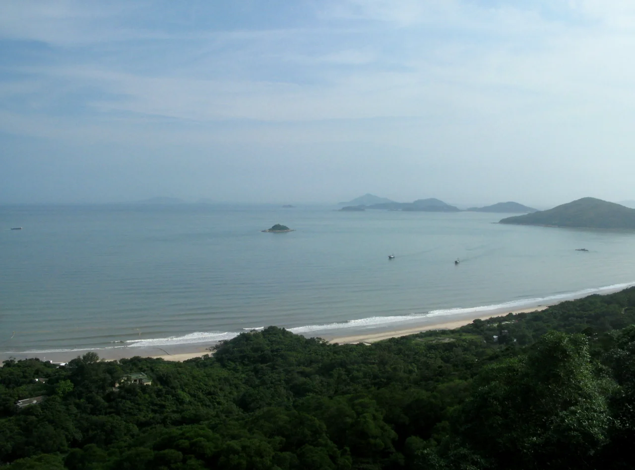

Cheung Sha
Most people think of Hong Kong as a city of towers and harbour light, a place where concrete meets water and there is no beach worth mentioning. Cheung Sha exists to prove them wrong. Stretching along the south coast of Lantau Island, its two linked beaches together form the longest beachfront in all of Hong Kong — and yet the place remains stubbornly, almost defiantly, rural.
Sand and a Rocky Divide
Cheung Sha is not one beach but two, separated by a rocky outcropping that juts into the South China Sea. Lower Cheung Sha Beach and Upper Cheung Sha Beach run in sequence along the South Lantau Road, which was built through the area in the mid-twentieth century to give access to the Shek Pik Reservoir further along the coast. Even taken individually, Upper Cheung Sha Beach holds the record as the longest single beach in Hong Kong. Together, the pair offer something the city rarely manages: a long, unhurried stretch of sand where the water is blue-green in good weather and the hills rise directly behind the shoreline. There are no towers in the sightline. The Hong Kong Government maintains holiday bungalows here for civil servants seeking a break from the urban density — a quiet acknowledgment that the city needs a place like this.
Two Villages, One Road, Centuries of Settlement
Cheung Sha is home to two small recognized villages: Cheung Sha Ha Tsuen (Lower Village) and Cheung Sha Sheung Tsuen (Upper Village). Both carry formal status under the New Territories Small House Policy, which grants indigenous village families certain rights to build on ancestral land. The South Lantau Road threading through the area connects these communities to Mui Wo in the east and to Tai O in the west, following a corridor that was largely inaccessible before the road's construction in the mid-twentieth century. A few low-density private housing developments sit quietly between the villages and the seafront, but Cheung Sha remains rural in character — not preserved as a heritage site, not marketed as an attraction, simply continuing to exist in a way that most of Hong Kong's coastline no longer can.
The Proposal That Never Rested
In January 2016, the Lantau Development Advisory Committee put forward a sweeping vision: transform Lantau Island from a place of roughly 100,000 residents into one of a million. Cheung Sha was named as a site for spas, resort hotels, and a wedding centre. The government received the proposals warmly. Advocacy groups responded sharply, calling the plans destructive urban sprawl dependent on expensive infrastructure that would deliver little beyond disruption. The debate returned again in subsequent years in different forms, attached to different project names. The tension it captures is not unique to Cheung Sha — it runs through every corner of Hong Kong where undeveloped land still exists. What makes Cheung Sha notable is that, so far, the longest beach in Hong Kong has remained exactly what it is: largely undeveloped, largely quiet, and entirely itself.
The Pace of the South Coast
Arriving at Cheung Sha from Hong Kong's urban core requires intention. There is no MTR stop. The journey involves a ferry to Mui Wo and then a bus along the South Lantau Road, or a longer drive across Lantau's spine. That friction is, in a sense, the beach's best protection. The visitors who make it tend to come for the water and the stillness, not for a resort experience. On weekday mornings the sand is often nearly empty, the South China Sea stretching unobstructed to the horizon. In winter, when the air clears and the light flattens, the beach takes on a quality rare in this part of the world: genuinely peaceful.
From the Air
Cheung Sha lies on the south coast of Lantau Island at approximately 22.234°N, 113.951°E. Flying from the northeast, the beach appears as a pale arc of sand below green hillsides, framed by the South China Sea. The South Lantau Road is the thin grey line running parallel to the shore. Recommended viewing altitude is 2,000–4,000 ft for a clear coastal perspective. Hong Kong International Airport (VHHH) is approximately 15 nm to the north on the reclaimed land off Lantau's north coast. The nearby peak of Lantau — Lantau Peak at approximately 3,060 ft — is a useful visual reference to the northeast.
Nearby Stories
- Lok Ma Chau Loop 2.3 km away
- Portas do Cerco 2.3 km away
- Kweilin Incident 17 km away
- Wanshan Archipelago Campaign 34 km away
- Nanxiong Formation 115 km away
- Battle of Nanpeng Island 148 km away
- Heyuan 169 km away
- Cape Maobitou 632 km away