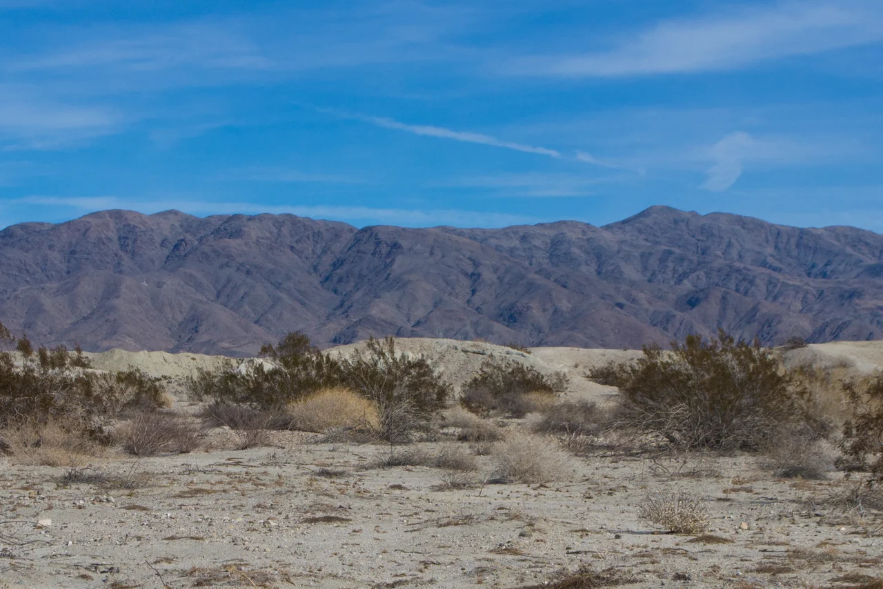
Chocolate Mountains
The Chocolate Mountains take their name from the dark volcanic rock that gives the range its distinctive coloring against the pale desert floor. They run more than sixty miles in a northwest-southeast direction between the Salton Sea and the Colorado River, a rugged and largely inaccessible chain that rises sharply from the surrounding lowlands. Mount Barrow, the highest point, reaches 2,475 feet — modest by California mountain standards but prominent in the flatlands of the Sonoran Desert. Much of the range is enclosed within the Chocolate Mountain Aerial Gunnery Range, the Marine Corps bombing practice zone that has restricted public access and, incidentally, preserved the wilderness that access restrictions tend to protect.
Ancient Rock in a Young Desert
The geology of the Chocolate Mountains tells a story that extends far beyond the human timeline. The range's basement is made of Precambrian rocks — among the oldest on the surface of North America — overlaid with Orocopia Schist, a metamorphic formation, and intruded by Mesozoic granite that was emplaced when magma pushed up through the older rock roughly 100 million years ago. These ancient foundations sit in one of the geologically youngest and most tectonically active regions of the continent, near the junction of the San Andreas Fault system and the East Pacific Rise. The contradiction is characteristic of the Sonoran Desert: very old material rearranged by very recent forces into a landscape that looks ancient but is geologically in motion.
Desert Bighorn and Feral Horses
The Indian Pass Wilderness, encompassing 32,008 acres within the Chocolate Mountain range, supports a population of approximately 25 desert bighorn sheep — a small but established group of one of the Southwest's most iconic large mammals. Desert bighorn are supremely adapted to the extreme conditions of the Sonoran Desert: they can tolerate body temperatures that would kill most mammals, go days without water, and traverse terrain that would defeat most other ungulates. The wilderness also contains populations of feral horses descended from animals released when the area's ranching operations ended, as well as wild burros, desert tortoise, and spotted bat. The military's restricted access has allowed these populations to persist in a landscape that might otherwise have been disturbed by off-road vehicles and human activity.
The Gold Workings
Small gold deposits were worked in the Chocolate Mountains during the nineteenth century, part of the same prospecting fever that sent thousands of men into the California and Arizona deserts searching for mineral wealth. The workings in the Chocolate Mountains were never large — this was not a Comstock or a Sutter's Mill country — but they drew prospectors and left behind the scattered evidence of their work: abandoned shafts, prospect pits, rusting equipment, and the ghost of a minor economy that operated in these remote ridges for a generation or two before the metal ran out or the prices dropped. The remoteness of the range made the work harder and the returns lower than comparable operations elsewhere.
A Military Horizon
The most consistent presence in the Chocolate Mountains today is military. The Chocolate Mountain Aerial Gunnery Range encloses most of the chain, and the sounds of aircraft conducting live-fire exercises are a regular feature of the soundscape here. Warning signs mark the boundaries. Spent ordnance and impact craters accumulate on the slopes. The mountains that once attracted prospectors and that shelter the last desert bighorn in the region are also, simultaneously, a practice range for the weapons of modern warfare. This coexistence of the ancient and the military-industrial is one of the defining features of the American desert West, where vast spaces attract both the creatures that need undisturbed terrain and the institutions that need unpopulated land for dangerous activities.
From the Air
The Chocolate Mountains extend from approximately 33.2°N to 33.7°N east of the Salton Sea and west of the Colorado River, running northwest to southeast. From altitude the dark volcanic ridges are clearly distinguishable from the pale desert floor. The Salton Sea is visible to the west. The Colorado River and Arizona border are to the east. The range lies within restricted military airspace for much of its length. The nearest airports are Blythe Airport (BLH) to the northeast and Imperial County Airport (IPL) to the southwest.
Nearby Stories
- Whitewater River 4.5 km away
- Calipatria State Prison 6.3 km away
- Desert Sunlight Solar Farm 8.7 km away
- Ocotillo Wells, California 14 km away
- Lost Horse Mine 24 km away
- Felicity, California 56 km away
- Poston War Relocation Center 58 km away
- Laguna Diversion Dam 82 km away