
Clew Bay
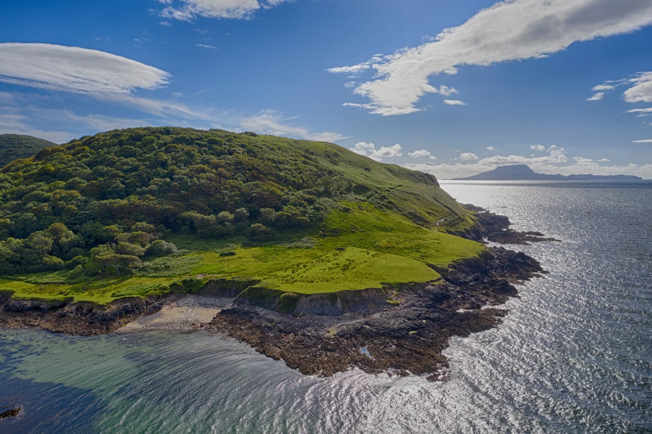
Local tradition holds that Clew Bay has 365 islands, an island for every day of the year. The real number is 141 named islands and islets, plus an uncounted host of unnamed rocks and sandbars. Either count understates what the bay actually looks like from above. The eastern half is so densely packed with small green humps in a blue sea that it looks like spilled marbles. These are drumlins, the smooth elongated mounds left behind when the last glaciers retreated from Ireland about ten thousand years ago. The sea then rose, drowned the lowlands, and left only the tops of the drumlins above water. Nowhere else on Earth does this happen at the same scale. Ireland's best example of a sunken drumlin landscape sits here, off the coast of County Mayo, with Croagh Patrick standing 764 metres tall to the south and the Nephin Beg range rolling away to the north.
The Pirate Queen's Sea
Before Clew Bay was Clew Bay, it was Cuan Umhaill, the harbour of the territory of Umhaill, ruled by the Uí Máille family, the O'Malleys. Their last and most famous chieftain was Grace O'Malley, Gráinne Ní Mháille, born around 1530. The English called her the Pirate Queen, which was both a slur and an understatement. She inherited a fleet of galleys and a string of castles along this coast, including Rockfleet and Carrickkildavnet, and she ran a maritime trading and raiding operation from them for half a century. In 1593, she sailed up the Thames and negotiated directly with Queen Elizabeth I, reportedly in Latin, since neither monarch spoke the other's first language. Most of her contemporaries who challenged the English crown were executed. Grace O'Malley died in her own bed, in her own castle, on this bay.
Drumlins Drowned
About 18,000 years ago, the last of the Irish ice sheets retreated north across what is now County Mayo. The glaciers left behind hundreds of drumlins, smooth oval mounds of compacted till, all aligned in the direction the ice had been flowing. As the climate warmed, the sea level rose. Where the drumlin field met the rising Atlantic, the lowest mounds vanished, the middle ones became islands, and the highest stayed as hills on the mainland. Clew Bay is what happened when the water won. Stand on the summit of Croagh Patrick on a clear day and the entire process is visible at once: a bowl of blue water filled with the rounded green tops of mounds that were once on dry land. There are drumlin fields across northern Ireland, but only here did one drown so completely.
What Lies Beneath
In 2024, archaeologists from Mayo County Council and a team based in Connemara announced the discovery of a submerged late Bronze Age fort in Clew Bay. It had been sitting underwater for some three thousand years, since before sea levels in this part of Ireland settled into their current position. Discoveries like this remind you that the bay's present coastline is a snapshot, not a permanence. People lived on what is now seabed. Their fields and walls and ceremonial sites are down there still, slowly being mapped as remote sensing technology improves. Earlier on, in the centuries before written history, the people the medieval Irish called the Fir Bolg lived around these shores. Their name appears in the bay's oldest known title, Cuan Mod, the harbour of Mod, a man or possibly a god whose identity nobody now remembers clearly.
Lennon's Island
In 1967, John Lennon bought a small uninhabited drumlin island in Clew Bay called Dorinish. He paid about £1,700 for it, sailed out from Westport to plant a flag, and briefly entertained the idea of building a home there. He never did. Instead he invited a group of hippies in 1969, who established a short-lived commune they called the Hippy Island Community before harsh weather and Atlantic winters drove them off. Lennon was shot in New York in 1980. His widow, Yoko Ono, eventually sold the island and donated the proceeds to an Irish orphanage. Dorinish is still there, still uninhabited, one of the 141 named drumlins, the same shape and size as the others, with no marker to suggest a Beatle once owned it.
The Bay Today
The settlements ring the bay like beads on a string: Louisburgh in the southwest, then Lecanvey, Murrisk where the trail up Croagh Patrick begins, and Westport at the southeast corner. North of Westport is Newport, and further west sits Mulranny, the gateway to Achill Island, which closes off the bay's northern flank. The Inishgort Lighthouse stands five kilometres from Murrisk, on its own small island. Boats run sea-angling trips and cruises among the islets in summer. There is salmon farming, controversial in recent years, operated by Mowi from Clare Island, the larger island that guards the bay's western entrance. The Atlantic outside is brutal in winter. Inside the bay, sheltered by Clare Island and the headlands, the water stays relatively calm, the way it has for everyone who needed shelter here for the last several thousand years.
From the Air
Clew Bay opens to the Atlantic at 53.83°N, 9.80°W on the west coast of County Mayo. Best viewed from 3,000-6,000 ft AGL, ideally from the south or east where the drumlin islands form the dramatic mosaic. Croagh Patrick (764 m / 2,507 ft) rises sharply on the south shore and is the obvious navigation landmark. Ireland West Airport Knock (EIKN) is approximately 45 nm east; Galway (EICM) about 50 nm south-southeast. Watch for low cloud caps on the reek; conditions can change fast off the Atlantic.
Nearby Stories
- Inishbofin Island 1.1 km away
- Leenane 1.8 km away
- Bangor Erris 4.7 km away
- Kiltimagh 9.7 km away
- Ross Errilly Friary 15 km away
- Easky 20 km away
- Blackrock Island, County Mayo 23 km away
- Action of 7 May 1794 51 km away