
Cork Harbour
Look at a map of southern Ireland and there is one shape you cannot miss: a deep, rounded, almost-enclosed body of water on the south coast east of Cork city, branching into channels and ringed with towns. Cork Harbour is one of several harbours that lay claim to the title of second-largest natural harbour in the world by navigational area, after Port Jackson in Sydney. Halifax in Canada, Trincomalee in Sri Lanka, and Poole in England all compete for the same honour, and the answer depends on what exactly you measure. What is uncontested is that Cork Harbour is enormous, sheltered, deep enough for modern container ships, and has been a working port for at least four hundred years. The River Lee flows through Cork city and into the upper harbour. The Atlantic enters through a narrow channel between two headlands at the southern mouth. Everything in between is a layered, busy, occasionally beautiful waterscape that the locals navigate without thinking and outsiders, on first encounter, find hard to fit in their heads.
Eleven Islands
The harbour contains more islands than most countries possess in their territorial seas. Great Island, the largest, is connected to the mainland by the Belvelly Bridge and carries the town of Cobh on its southern face. Fota Island, north of Great Island, holds Fota Wildlife Park and Fota House. Little Island, all residential and industrial. Haulbowline Island, the headquarters of the Irish Naval Service and once home to the Cork Water Club of 1720, the world's first yacht club. Spike Island, the former prison and Victorian fortress, now a tourist attraction. Harper's Island Wetland Centre. Hop Island, with its equestrian centre. Weir Island, Brick Island, Corkbeg Island - the latter holding the Whitegate oil refinery. Brown Island. Rocky Island, which once stored Royal Navy gunpowder and now houses the Island Crematorium. Each island carries its own micro-history. Together they explain why coastal defence was such a complex job in Cork: a fleet entering this harbour would have had to run past gun batteries on multiple islands before reaching anything worth attacking.
Four Forts Around the Mouth
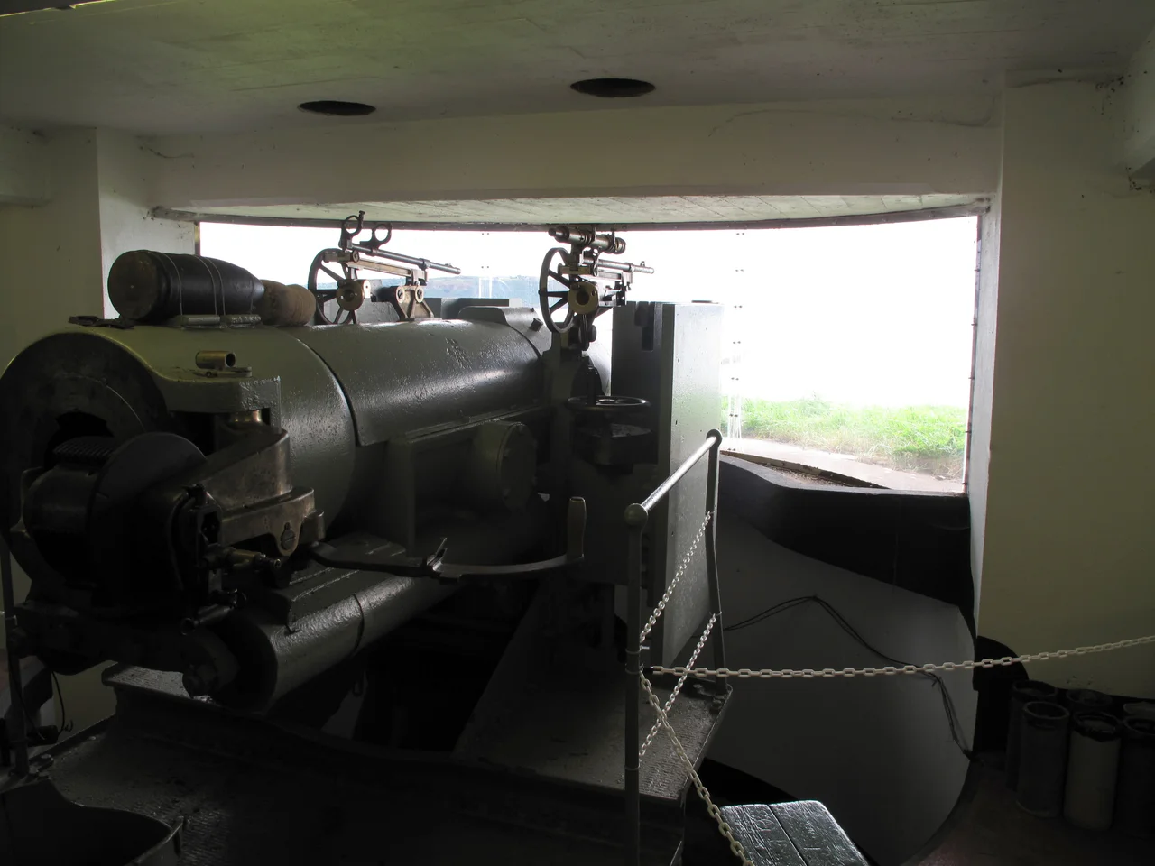
The defensive structures around the harbour entrance evolved over five centuries. The first 17th-century forts protected the approaches to Cork city itself. In the 18th century, fortifications were added on Haulbowline and at Cove Fort, near what is now Cobh. The forts at the harbour mouth - Fort Camden on the western headland, Fort Carlisle on the eastern - went up during the American War of Independence. The Napoleonic Wars triggered the next wave of expansion: a naval dockyard on Haulbowline, a fort on Spike Island that would become Fort Westmoreland, and a constellation of Martello Towers along the coast. Fort Templebreedy was added south of Fort Camden at the start of the 20th century. By the 1920s the British Royal Navy held the lot - and refused to give it up at Irish independence. Cork Harbour, along with Berehaven and Lough Swilly, remained a British Treaty Port. The forts were finally handed over on 11 July 1938 to the Irish military authorities, with Taoiseach Éamon de Valera attending the ceremony.
Steel, Pharmaceuticals, and Whitegate
Industry shaped 20th-century Cork Harbour as much as the military had shaped its predecessors. Verolme Cork Dockyard at Rushbrooke built ships - including the MV Leinster for the Dublin-Holyhead route and the last vessel constructed there, the Irish Naval Service's LÉ Eithne (P31). Irish Steel, the country's only steelworks, ran on Haulbowline Island until 2001 when its then-owner Ispat International (later Mittal Steel) closed it. Irish Fertiliser Industries operated for years before shutting down too. As the heavy industries departed, pharmaceuticals arrived. Pfizer, Novartis, GlaxoSmithKline, and Janssen Pharmaceutica (a Johnson & Johnson subsidiary) all opened plants. The harbour now hosts over a hundred pharmaceutical firms, mainly concentrated on Little Island and at Ringaskiddy. Ireland's only oil refinery - the Whitegate refinery - operates on Corkbeg Island on the eastern shore, alongside the Whitegate power station and the Aghada gas-fired plant. The harbour, in short, generates an unusual share of Ireland's electricity, refines all of its domestically refined fuel, and produces a significant fraction of its industrial pharmaceutical exports.
The World's Oldest Yacht Club
The Royal Cork Yacht Club, claimed by the Guinness Book of World Records as the oldest yacht club in the world, was founded as the Water Club on Haulbowline Island in 1720. When the British Navy took over Haulbowline in 1801, the club moved to Cobh, where their original 1850s clubhouse still stands as the Sirius Arts Centre. In the 1960s, the club moved again - this time to Crosshaven, on the western shore at the harbour mouth - where the biennial Regatta of Cork Week now draws thousands of competitors and around fifteen thousand spectators every other summer. Boatyards and marinas cluster around the harbour: Crosshaven, Monkstown, East Ferry, Blackrock. Cobh's deepwater quay welcomes increasing numbers of cruise ships. The harbour that once hosted naval squadrons, emigrant liners, and convict ships now hosts container vessels, ferries to Roscoff, and the leisure boats of a country that has, against the odds, become wealthy enough to play with sailboats.
Pilots, Lighthouses, and the Spit Bank
Modern Cork Harbour navigation is shaped by two facts: vessels above 130 metres in length must take on a pilot at the harbour entrance, and the shipping channels become rapidly shallower the further inland you go. The Spit Bank Lighthouse marks the line at which compulsory pilotage begins, 2.5 nautical miles inside the entrance. The Port of Cork Company - the modern successor to the Cork Harbour Commissioners founded in 1814 - provides pilotage, towage, and the increasingly intricate dance of moving large vessels through a shrinking series of channels. Container traffic peaked at 185,000 TEUs in 2006 and has fluctuated with the economy since. A new container facility at Ringaskiddy, after years of objections and a rejection by Bord Pleanála in 2008, eventually broke ground in 2018. Cruise ships and ferries still berth at Cobh and Ringaskiddy. The estuary that has carried Irish ships, British ships, American ships, Russian ships, and ships flying flags of convenience for four centuries continues to carry them.
From the Air
Located at 51.85°N, 8.27°W on the south coast of Ireland. The nearest airport is Cork (EICK), at the western edge of the harbour catchment, about 15 km west-north-west. Cork Harbour itself is unmistakable from altitude: a large, nearly enclosed body of water with a single narrow entrance between two headlands at its southern end. Multiple islands lie scattered inside; the densely-built town of Cobh sits on Great Island in the middle of the harbour. Best viewed when low sun reveals the multiple lobes and channels and the busy shipping that fills the deeper sections.
Nearby Stories
- Walter Siepmann 6.3 km away
- Gaeltacht na nDéise 11 km away
- Fermoy 12 km away
- Canovee 14 km away
- Rathcoole Ambush 16 km away
- SS Folia (1907) 20 km away
- Cloghan Castle, Lough Hyne 35 km away
- SM U-27 91 km away