
Costanera Sur Ecological Reserve
Nobody designed this place. In the 1970s and early 1980s, trucks rumbled to the edge of the Rio de la Plata and dumped load after load of demolition rubble into the shallows beside downtown Buenos Aires. The plan was to reclaim the riverbed as a platform for a sprawling new municipal administrative center. The center was never built. The rubble simply sat there, and the river answered in its own way: seeds drifted in, water pooled into lagoons, reeds and grasses took root, and birds arrived in their thousands. What was meant to be a parking lot for bureaucracy became, by accident, the largest and wildest green space in the city.
When the City Came to Swim
Long before the rubble, this stretch of shore was where Buenos Aires came to play. The Municipal Riverside resort opened in 1918, and for decades the Costanera Sur promenade was the place to be. On foot, by car and by tram, thousands of porteños arrived on summer afternoons to take the air and bathe in the river, dressed in their one-piece costumes, towels over their shoulders. Under the regulations of 1923, men and women swam on opposite sides of a long pier. Cafes and bars multiplied through the 1920s and 1930s, music and variety shows ran into the night, and the riverside filled with sculpture, including the Nereids Fountain by the pioneering Argentine artist Lola Mora. Then the river grew too polluted to swim in, the cafes were demolished, and by the end of the 1950s the glamour had drained away.
The Return of the Wild
Into that abandoned, rubble-strewn margin, nature poured. Pampas grass spread across the new ground in silvery plumes. Forests of alder rose where there had been construction debris. Three lagoons formed and filled, and around them gathered an astonishing abundance of life. More than three hundred species of birds have been recorded here, from the black-necked swan gliding across the water to herons stalking the shallows and flocks wheeling over the reeds. They share the ground with mammals, reptiles and amphibians, and with more than five hundred kinds of native plant, all of it self-seeded on a foundation of broken concrete. The contrast is the whole point: stand on a trail with the river at your back, and the mirrored skyscrapers of Puerto Madero rise just beyond the treeline, the wild and the city pressed up against each other with almost nothing in between. Few cities anywhere have a true wetland this close to their downtown core.
A Wetland of Global Importance
What began as an accident is now protected as a treasure. The reserve covers roughly 350 hectares of lagoons, grassland and woodland, and in 2005 it was designated a Ramsar site, a wetland of international importance, recognized alongside the great marshes and estuaries of the world. BirdLife International counts it among its Important Bird Areas. For a habitat that no ecologist planned and no architect drew, it has become a serious refuge, the kind of place where migrating birds rest and rare species hold on within sight of millions of people.
An Escape Inside the Metropolis
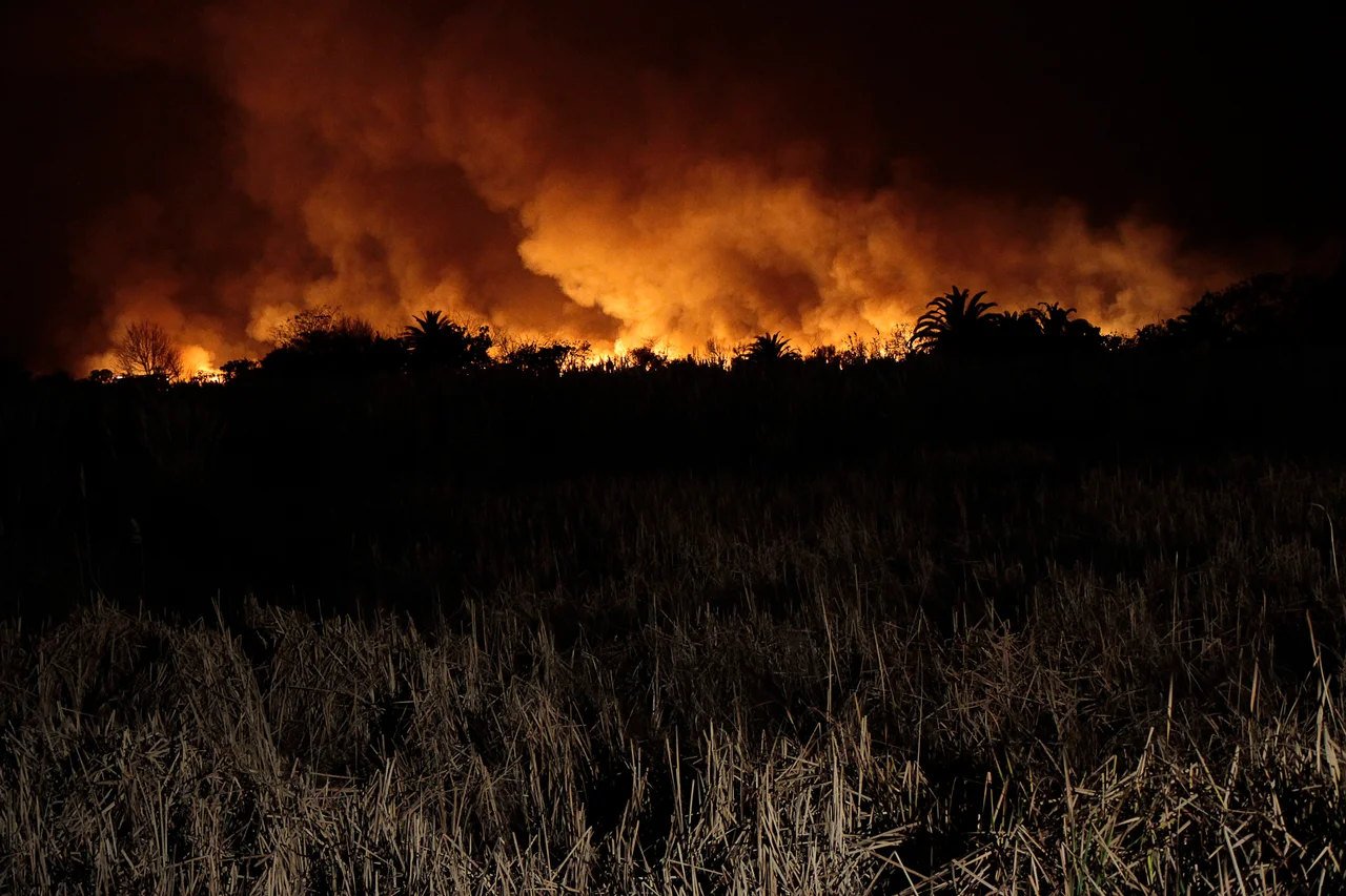
For the people of Buenos Aires, the reserve is a lung and an escape hatch. Winding paths lead down to the brown expanse of the Rio de la Plata, perfect for walking, cycling and birdwatching, and on weekends families spread out for picnics near the water. It is the rare place where you can lose the noise of one of South America's great cities simply by walking a few hundred meters from its financial district. The reserve has weathered fires and pressures over the years, but it keeps returning, stubborn and green, proof of how quickly the living world reclaims the spaces we abandon.
From the Air
The Costanera Sur Ecological Reserve lies at about 34.60 degrees south, 58.35 degrees west, directly on the Rio de la Plata waterfront just east of the Puerto Madero district in central Buenos Aires. From the air it is unmistakable: a wedge of green and three lagoons jutting into the muddy estuary, pressed against the gridded city and the glass towers and restored docks of Puerto Madero immediately inland. The nearest airport is Aeroparque Jorge Newbery (ICAO SABE), the city airport on the riverfront only a few kilometers north along the same shoreline. Ezeiza's Ministro Pistarini International (ICAO SAEZ) sits southwest of the city. A viewing altitude of 1,500 to 3,000 feet shows the reserve, the harbor and the downtown grid together. The river often carries haze, and low fog can settle over the estuary on calm mornings.
Nearby Stories
- Martín García Island 12 km away
- Cathedral of La Plata 25 km away
- Luján, Buenos Aires 36 km away
- Nueva Helvecia 48 km away
- Lobos 55 km away
- Atucha Nuclear Power Plant 57 km away
- Tronador (rocket) 91 km away
- Battle of Sarandí 156 km away