_(2004).jpg)
Deebing Creek Mission
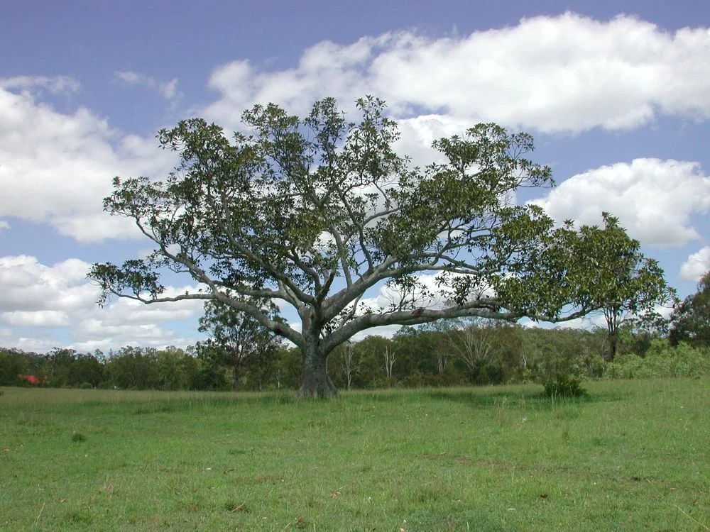
Beside a quiet creek south of Ipswich, a single weathered headstone marks the grave of a woman named Julia Ford, who died in 1896. For decades it stood almost alone. But ground-penetrating radar later read the soil around it and returned anomaly after anomaly - the signatures of many more bodies, lying unmarked beneath the grass. This is Deebing Creek, where from 1887 the colonial state gathered Aboriginal people from across Queensland and beyond, controlled every hour of their lives, and let too many of them die far from their own country. It is a place of grief, and it is still contested ground.
The Gathering
Before the laws came, the Aboriginal people living at Deebing Creek were free to come and go as they pleased. The mission grew from a camp of First Nations people who had been moved off the lands around Ipswich as settlers took them. Work began in 1887 under a committee of the Aboriginal Protection Association, and from 1892 the government gazetted reserve land along the creek. But this was the country of the Yuggera and Jagera peoples - and the authorities filled it with others. Men, women and children were sent here from across the state, from north Queensland and as far west as Charleville, alongside people from northern New South Wales, the Torres Strait, South Sea Islander families and Cantonese families. Those carried far from their own homelands came to be called 'historical' people: at home nowhere, held here all the same.
The Act That Closed the Gates
Everything changed in 1897. The Aboriginals Protection and Restriction of the Sale of Opium Act handed the State near-total power over Aboriginal lives - where they could live, where they could travel, who they could work for, what wages they might keep. Protectors of Aborigines administered it; a permit was needed simply to leave the reserve. The word 'protection' sat in the title, but its machinery was control. At Deebing Creek the population rose and fell with the seasonal work that took people away and the orders that brought them back, peaking around 150 souls. Children were committed here too, some sentenced under industrial-schools law for the supposed crime of being 'neglected' - three of them, recorded only as Paddy, Jacky and Chloe, sent from Roma in 1904 for seven years.
A True Home, Made From Nothing
Within these walls of paper and policy, people still built lives. Families raised their own timber houses along the creek bank, with dirt floors and concrete steps running down to the water, and tended gardens fenced off from the common ground. Children learned their letters in a canvas-lined slab hut, and one large stone where they sharpened their pencils still lies near the old terracing. Cricket matches were played; runners trained to compete in the Ipswich Sheffield Handicap footrace. An official report of 1910 noted, almost in passing, that the residents had made the place 'a true home.' That dignity was theirs, not the mission's - wrought by people who turned an imposed exile into somewhere worth defending.
What the Ground Remembers
In 1915 the mission was moved to nearby Purga, and the buildings carried away. The land passed through the Salvation Army, then grazing, then subdivision - but the cemetery remained, and so did memory. In 1967 Les Davidson led Ipswich Aboriginal people in petitioning the Premier to protect the burial grounds as European graves were protected. A cemetery reserve was finally gazetted in 1976. Yet the fight was far from over. From 2019, Yuggera, Jagera and Ugarapul people occupied the site for years to stop housing developers from building over land they believe holds the unmarked remains of their ancestors - and the site of an undocumented colonial massacre. Bulldozers entered in 2019 and were halted by a smoking ceremony. In 2023 the developers cited agreements with some Traditional Owners, and in May the protectors were evicted from the camp. The headstones are few. The graves are many. The grief is present tense.
From the Air
Deebing Creek lies at roughly 27.68 degrees south, 152.76 degrees east, about 8 km south of central Ipswich in South East Queensland, just off the Cunningham Highway at Deebing Heights. From the air it reads as a band of remnant bushland and creek-line vegetation pressed between expanding suburban housing estates west of Ipswich, with the city and the Bremer River to the north and the Scenic Rim ranges rising to the south and west. Nearest major airport is Brisbane, YBBN, about 40 km northeast; RAAF Base Amberley, YAMB, lies only about 8 km west, so this is active military controlled airspace - check NOTAMs and restrictions. Recommended respectful viewing altitude well clear of Amberley's zone. This is a burial ground and place of mourning; treat it as such.
Nearby Stories
- 2010-2011 Queensland Floods 12 km away
- Surfers Paradise International Raceway 12 km away
- Brisbane Tramway Museum 18 km away
- Dreamworld 20 km away
- Glengallan Homestead 24 km away
- Moreton Island 31 km away
- Spicers Gap Road 37 km away
- Jondaryan Homestead 64 km away