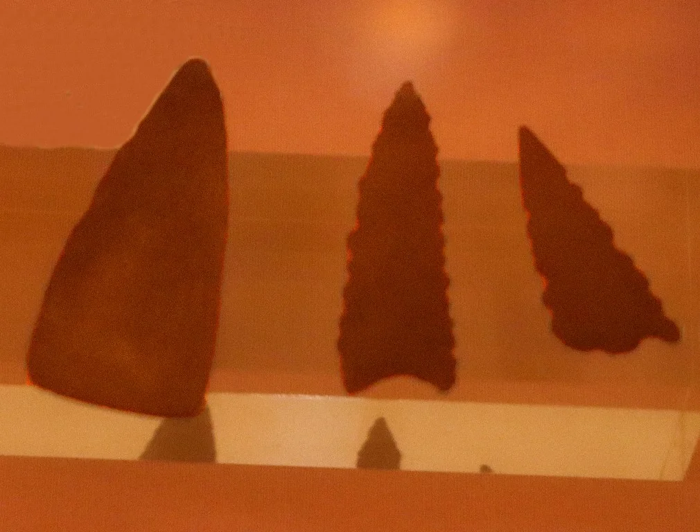

Dhar Tichitt
Four thousand years ago, this was not desert. Where the wind now moves only sand, there were lakes and grasslands, herds of cattle, fields of millet, and people building in stone. Along the sandstone escarpment the Hassaniya Arabs call a dhar, some five hundred settlements once stood, their drystone compounds laid out with houses, granaries, and even streets. Dhar Tichitt holds the oldest surviving archaeological settlements in West Africa and the oldest stone-built sites south of the Sahara. It is one of the great deep-time stories of the continent, and almost no one has heard it.
Before the Sand
The cliffs of Dhar Tichitt were inhabited by herders and farmers between roughly 2000 BCE and 300 BCE, during a wetter Sahara that geologists call the African humid period. The people here did everything: they herded cattle, sheep, and goats, hunted, fished the shrinking lakes, gathered wild grain, and cultivated bulrush millet. The archaeologist Patrick Munson, who first mapped the chronology, argued the population reached its cultural peak in those green centuries. This was not a single moment but a long unfolding, divided by researchers into phases from a mobile Pre-Tichitt era of campsites to a Classic Tichitt of walled stone compounds and a Late Tichitt of drought and decline.
Towns of Drystone
What survives is architecture, and it is astonishing for its age. Between about 1400 and 300 BCE, the inhabitants raised compounds of dry-laid stone, clusters of houses and storage facilities sometimes arranged along recognizable street layouts. Large enclosures for livestock stood nearby. Around some settlements, communities built common circumvallation walls, the kind of project that only happens when groups agree to cooperate and enforce a decision for the benefit of the whole. At the regional center of Dakhlet el Atrouss, the compounds appear to divide social space, with different quarters for different classes of workers, and a single center capable of coordinating as many as twenty smaller hamlets. This is the signature of a society growing complex, hierarchical, and deliberate.
The First Harvest
Dhar Tichitt also preserves one of agriculture's quiet revolutions. When Patrick Munson studied potsherds from the site, he found the impressions of grain pressed into the wet clay before firing, and those impressions showed that pearl millet, Pennisetum glaucum, had been domesticated here. By at least 1100 BCE the crop was fully domesticated, and likely well before. The Tichitt people were part of a much larger movement across the Sahel, where wild grasses became reliable food and food made larger settlements possible. To eat a bowl of millet anywhere in West Africa today is to taste the distant outcome of choices made on this escarpment.
Ancestors of an Empire
Then the rain failed. The Late Tichitt period, from about 1000 to 400 BCE, was an age of intensifying aridity and shrinking population, perhaps worsened by conflict with Berber groups arriving from the north. But the people did not simply vanish. Both archaeological and linguistic evidence ties the inhabitants of Dhar Tichitt to the Soninke, the people who would later found the Ghana Empire in the Middle Niger valley. Tichitt-style ceramics and stonework appear along the northern edge of that world, the earliest dated to around 1300 BCE. Many Fulbe clans, too, trace their origins to this region, which they called Maasina, lending its name to later Massina states downstream. When the escarpment dried, its civilization moved, carrying with it the memory of how to build a city.
From the Air
Dhar Tichitt is a line of sandstone cliffs in southeastern Mauritania, with the principal sites near 18.36 degrees N, 9.15 degrees W, a short distance east of the town of Tichit. From the air the escarpment reads as a long, dark cliff edge dividing dune fields from rocky flats, with date groves clinging to its base. Nearest airfields are Tichitt Airport (two unpaved strips just southeast of Tichit), Tidjikja (GQNT) to the west, and Néma (GQNF) to the southeast; Nouakchott (GQNO/GQNN) lies far to the west on the coast. A viewing altitude of 3,000 to 6,000 feet AGL best reveals the scattered stone enclosures along the cliff line. Clear, low-dust conditions outside the harmattan season give the best contrast.
Nearby Stories
- Aoukar 52 km away
- Aoudaghost 97 km away
- Tagant Plateau 128 km away
- Oualata 208 km away
- Néma 254 km away
- Geography of Mauritania 273 km away
- El Djouf 381 km away