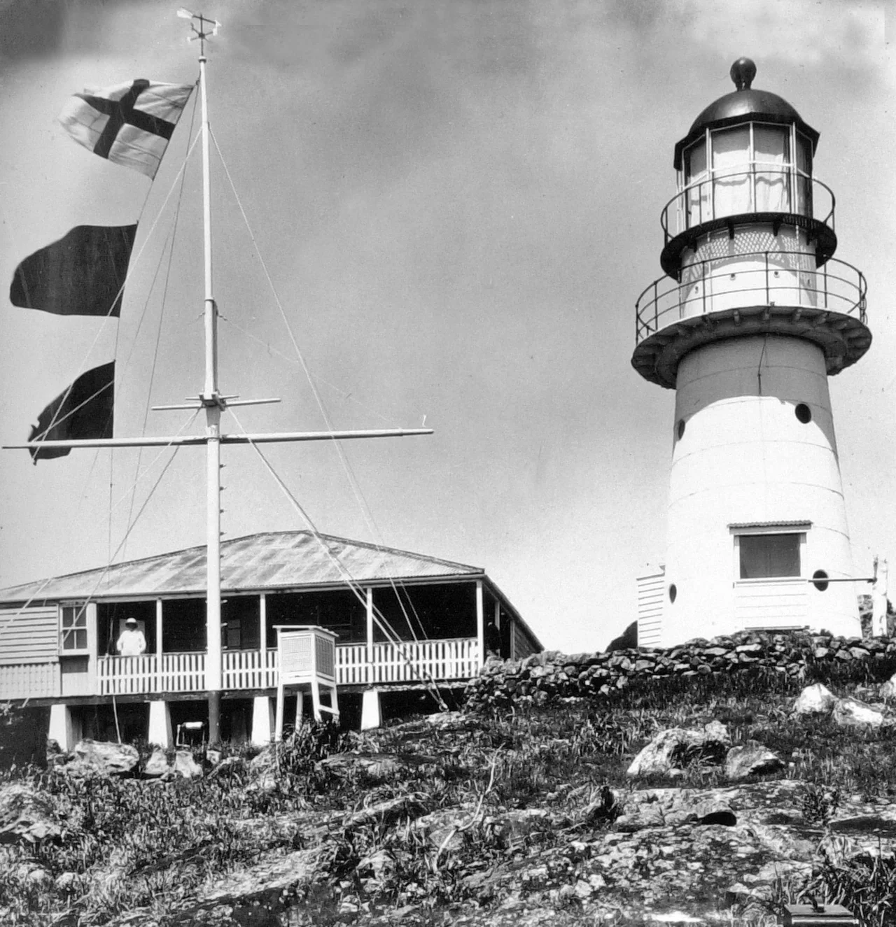

Double Island Point Light
It is a modest tower, only eight metres from base to lantern, white iron with a red copper cap, perched at the top of a green headland where the surf of Wide Bay meets the open Pacific. But the placement of Double Island Point Light tells a story of an argument won. The original plan put the lighthouse halfway up the point. When Queensland's portmaster came out to inspect the site in 1883, he saw the flaw at once: a light there would be hidden from ships approaching from the north, the very vessels most in danger. He insisted it be built at the summit, with a stronger lens than first proposed. He got his way, and the light first shone on 11 September 1884.
Two Decades of Waiting
The headland had been marked for a lighthouse as early as 1864, when committees in the young colony of Queensland first studied where the coast most needed warning. Then nothing happened for twenty years. The recommendation sat unbuilt while ships kept rounding the point unaided. Only in the early 1880s did the portmaster, Commander George Poynter Heath, press Parliament hard enough to move it. The contract went to W. P. Clark, a builder who knew the work; he had already raised Bustard Head, the first lighthouse the colony built after its formation, and others up and down the coast. When Double Island Point finally lit, it was the eighteenth lighthouse the Queensland Government had completed, a small white sentinel finishing a job begun two decades earlier.
A Century of Brighter Light
The technology inside the tower kept changing as the years passed. The first lamp was an oil wick burner, faint by later standards. In 1923 it became a kerosene gas mantle, and in 1925 the lens was upgraded to an apparatus floating in a bath of mercury, the standard precision bearing of its day. The leap came in 1933, when the light was wired to electricity and its intensity jumped to three-quarters of a million candela. By 1980 it reached a full million candela, visible 26 nautical miles out to sea. Then, in October 1991, came the modern reversal: a compact solar beacon replaced the grand optic, and the light's reach actually shrank, to 17 nautical miles. The trade was reliability for raw power. The following year the keepers left for good, and the station ran itself.
The Lives at the Light
For more than a century, people lived on this remote point. Keepers and their families occupied a cluster of cottages below the tower, and from 1884 a small schoolhouse taught their children until it closed in 1922. The isolation was total; supplies and company arrived by sea. One grave remains to mark what that life cost. South of the cottages, behind a picket fence and beneath a marble headstone, lies Fanny Byrne, wife of head keeper George Byrne, who tended the light from 1886 until 1900. She is a reminder that the romance of a lighthouse was, for the families who kept it, simply home, with all the ordinary grief and endurance that any home contains, set down on a headland at the edge of a continent.
Reaching the Point Today
The light still turns, automated now and watched over by the Australian Maritime Safety Authority, flashing white every 7.5 seconds. The land around it belongs to the Great Sandy National Park, looked after by Queensland's parks service. There is no public access to the tower itself, but the headland is one of the great drives of the Cooloola coast. Visitors reach it by four-wheel drive along the beach from Rainbow Beach, the town famous for its mineral-stained sand cliffs that glow in bands of ochre and rust. The walk up to the lighthouse opens onto enormous views of the wild surf coast, the same water that, in 1973, drove the cargo ship Cherry Venture aground on the beach below, where its rusting hull became a landmark for the next 34 years.
From the Air
Double Island Point Light stands at 25.93 degrees south, 153.19 degrees east, at the summit of a prominent headland at the southern end of Wide Bay, roughly 70 kilometres north of Noosa Heads. From the air the point is unmistakable: a knuckle of dark vegetated land jutting east into the Pacific, with the long sweep of Rainbow Beach and Teewah Beach running south and the coloured sand cliffs visible near the township. The white tower with its red cap sits on the highest ground. Nearest aerodromes are Gympie (ICAO YGYM) inland to the west and Sunshine Coast Airport (YBSU) to the south; Maryborough (YMYB) lies to the northwest. A viewing altitude of 1,500 to 3,000 feet best reveals the headland's shape and the surf lines wrapping its base. Coastal winds here can be strong; the beach approach floods at high tide.
Nearby Stories
- Noosa National Park 22 km away
- Brennan & Geraghtys Store 43 km away
- Childers Palace Backpackers Hostel fire 56 km away
- Cressbrook Homestead 98 km away
- 1936 Bundaberg distillery fire 121 km away
- Cape Byron 272 km away
- Cape Byron Light 301 km away
- HMS Porpoise (1799) 424 km away