
Noosa National Park
A koala wedged in the fork of a gum tree, dozing through the heat. Below it, a procession of walkers on the coastal track, and beyond them, a long green wave wrapping around the rocks at Tea Tree Bay while a surfer crouches inside it. This is the rare trick Noosa National Park pulls off: marsupials and surfers sharing the same headland, sometimes within a hundred metres of each other. Just north of Brisbane on Queensland's Sunshine Coast, this small park draws more than a million visits a year, making it the most visited national park in the country. Most of them come for the walk along the edge of the sea.
The Coastal Track
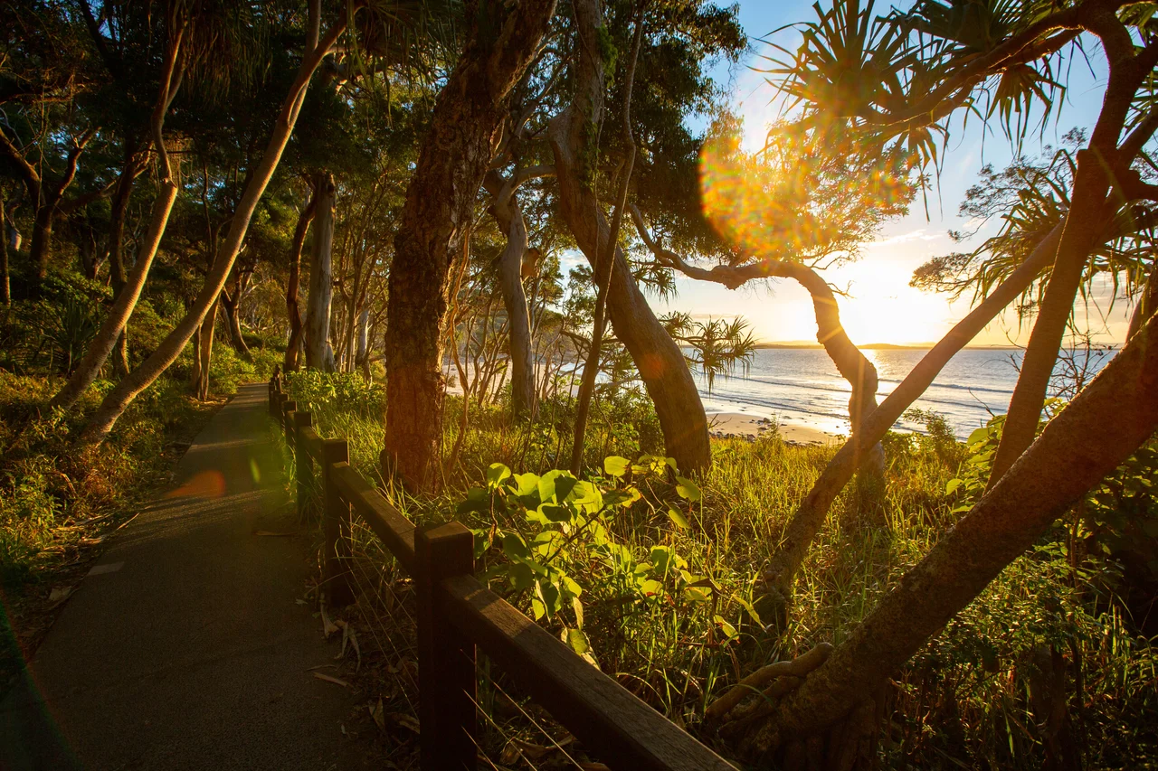
The path hugs the shoreline from Noosa Heads out around the headland, and it is the most walked trail in Queensland. It is also one of the easiest to love. You pass Boiling Pot, where the surf churns against the rocks, then Tea Tree Bay, then Granite Bay, then the dramatic cleft the locals call Hell's Gates, where the land drops away to open ocean and the wind comes straight off the Pacific. The whole circuit is gentle enough for families and short enough to do before lunch, yet it threads through pockets of genuine wilderness. Pandanus lean over the sand. The water shifts from jade to deep blue depending on the depth and the light. Offshore, between June and November, migrating humpback whales sometimes breach within sight of the track.
Looking Up for Koalas
Noosa is one of the few places on the Sunshine Coast where you have a real chance of seeing a wild koala, and the trick is simply to look up. They favour the trees along the Noosa Hill walk, grey balls of fur folded into grey branches, easy to miss until someone stops and points. It is a fragile privilege. Koalas in Queensland are listed as endangered, squeezed by habitat loss, by the chlamydia that spreads through stressed populations, and by cars on the roads that ring the park. The headland has become a refuge, a green island holding out against the resorts and houses pressing in from every landward side. The park is home to other threatened creatures too, among them the glossy black-cockatoo, the ground parrot, and the rare red goshawk.
Where the Waves Peel
Surfers know this coast for its right-hand point breaks, the kind that let a wave peel cleanly along the rocks for a long, unhurried ride. The bays around the headland each offer something different. Tea Tree is the classic, all grace and length. Granite Bay holds the heaviest water, where the biggest and gnarliest waves turn up when a swell is firing. The quality of these waves is no secret: in 2020 the stretch was recognised as a World Surfing Reserve, one of only a handful on the planet, a designation meant to protect the breaks the way the park protects the bush behind them. On a good morning the lineup fills with longboarders tracing slow lines across the face of the water.
Kabi Kabi Country
Long before it was a park, this headland was home to the Kabi Kabi people, also known as the Gubbi Gubbi, who lived along the Noosa coast for thousands of years and drew their living from the land and the sea. The name Noosa itself descends from their language. The reserve was formally declared a national park in 1939, after years of local effort to keep the headland out of the hands of developers, and an extra 300 hectares were added at Coolum in 2003. The Headlands section still shelters small pockets of rainforest where hoop and kauri pines rise above the understorey, and in spring the Peregian section flushes with wildflowers, including the rare swamp orchid and the scarlet trumpets of Christmas bells.
From the Air
Noosa National Park sits at 26.38 degrees south, 153.11 degrees east, on the headland immediately east of Noosa Heads township. From the air the park reads as a wedge of dark green pushing into the blue Pacific, fringed by pale beaches and bracketed by the dense urban grid of the Sunshine Coast to the south and west. Noosa Hill, the high point at 147 metres, gives the headland its low dome. The nearest major airport is Sunshine Coast Airport (ICAO YBSU) about 25 kilometres south at Maroochydore; Brisbane (YBBN) lies roughly 120 kilometres south. A best viewing altitude of 2,000 to 4,000 feet shows the contrast between protected bush and developed coast; the offshore waters east of the headland are a known humpback migration corridor from June to November.
Nearby Stories
- Caloundra Lighthouses 9.7 km away
- Double Island Point Light 30 km away
- Cressbrook Homestead 41 km away
- Childers Palace Backpackers Hostel fire 110 km away
- Bunya Mountains National Park 110 km away
- Cape Byron 213 km away
- Cape Byron Light 243 km away
- HMS Porpoise (1799) 478 km away