
Dr Sun Yat-sen Historical Trail
You could walk the entire trail in an afternoon and never notice it — except for the bronze markers set into the pavement, the handrails, the walls of buildings that still stand and plaques on spots where buildings long ago fell. The Dr Sun Yat-sen Historical Trail threads through the Central and Sheung Wan districts of Hong Kong, connecting sixteen locations tied to the life of Sun Yat-sen and the revolutionaries who gathered around him during the waning years of the Qing dynasty. It is, in the most literal sense, a walk through the geography of China's modern founding.
The Man Who Made the Trail Worth Walking
Sun Yat-sen was born in 1866 in Guangdong Province, but Hong Kong shaped him in ways his home village could not. He came here for his secondary schooling, continued to the College of Medicine for Chinese at 81 Hollywood Road, and spent the years between his studies plotting the overthrow of a dynasty that had ruled China for two and a half centuries. He established the headquarters of the Revive China Society in Hong Kong in 1894, using the city as a base precisely because it offered a degree of freedom unavailable on the mainland. The places the trail marks are not monuments to his eventual triumph — the 1911 Revolution that ended Qing rule came later — but to the years of planning, organizing, and conspiring that made that triumph possible.
Sixteen Spots, Two Neighbourhoods
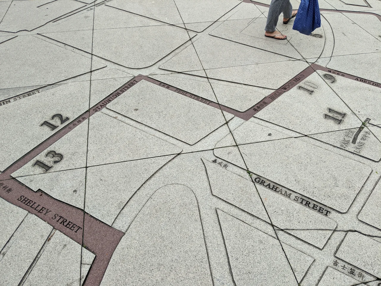
The Central and Western District Council established the trail in November 1996 to mark the 130th anniversary of Sun Yat-sen's birth. The original version had thirteen markers. A 2001 renovation renamed and expanded it, adding two new stops that are now numbered first and seventh in the sequence. In 2018, a further Revitalization Project commissioned artists to create original artwork at each location, layering contemporary interpretation over historical memory. Bronze markers remain embedded in sidewalks and handrails throughout the route, modest enough that many pedestrians pass them without a second glance. About 600 metres north of the trail itself, the Sun Yat Sen Memorial Park in Sai Ying Pun displays a large concrete map of the route near its main gate — a useful starting point for orientation.
Hollywood Road and the Texture of Revolution
Several of the trail's most significant stops cluster along or near Hollywood Road, one of Hong Kong's oldest streets. At number 59, the To Tsai Church served as a meeting place where Sun and his comrades gathered. At number 81, the College of Medicine for Chinese gave Sun his medical training and, more importantly, connected him with like-minded men willing to risk everything to change their country. The Qian Heng Hang trading house at 13 Staunton Street became the headquarters of the Revive China Society. These were not grand buildings or official institutions — they were the ordinary commercial and religious infrastructure of a colonial city, repurposed as cover for sedition. Walking between them today, through streets still dense with shops and foot traffic, gives a sense of how revolutionary planning looks from the outside: indistinguishable from daily life.
The Museum at the Trail's Edge
About 200 metres south of the trail stands Kom Tong Hall, now home to the Dr Sun Yat-sen Museum. The connection between the trail and the museum is close but deliberately indirect: Sun never entered Kom Tong Hall, which was built in 1914 by Ho Kom-tong as a family residence. But Ho and Sun were classmates at The Government Central School, graduating together in 1886, and Ho's elder brother Sir Robert Ho Tung supported Sun's revolutionary activities. The Hall's adjacency to the trail's sites, its completion shortly after the 1911 Revolution, and its relationship to Sun's network all argued for its selection as the dedicated museum. It opened to the public on 12 December 2006 and was declared a monument in 2010.
From the Air
The Dr Sun Yat-sen Historical Trail runs through the Central and Sheung Wan districts at approximately 22.282°N, 114.151°E, on the northern slope of Hong Kong Island. From the air, the densely packed mid-levels residential towers above Hollywood Road are visible as a transition zone between the skyscrapers of Central's waterfront and the green hillsides above. The trail is best appreciated on the ground, but the terrain it traverses — the hilly streets climbing away from Victoria Harbour — is visible at low altitude. Hong Kong International Airport (VHHH) lies roughly 20 nautical miles to the west-southwest. Kai Tak (closed) was the historic airport to the northeast.
Nearby Stories
- Lok Ma Chau Loop 2.3 km away
- Portas do Cerco 2.3 km away
- Kweilin Incident 17 km away
- Wanshan Archipelago Campaign 34 km away
- Nanxiong Formation 115 km away
- Battle of Nanpeng Island 148 km away
- Heyuan 169 km away
- Cape Maobitou 632 km away