Ermelo, Netherlands
Two thousand years ago, a Roman legion built a fortified marching camp on a glacial ridge east of what is now Ermelo. It was six hectares, big enough to hold between 4,000 and 6,000 legionaries, and it sat far beyond the empire's official border - the Limes - in territory the Romans never controlled. The diamond-shaped earthen walls are still partly visible in the landscape, restored in 2006. A second, smaller camp was found in 2017 and confirmed Roman by excavation in 2020. The town's name itself goes deeper than the Romans: 'Irminlo' first appears in a legal document from the year 855, combining the Old Germanic 'lo' for woods with 'irmin,' which may mean 'great' or may refer to an Old Germanic god of the same name. Ermelo has been here, in some form, for a very long time.
A Town That Took Twelve Hundred Years to Grow
For most of its history, Ermelo was barely a town at all. A few farms scattered across the heath. A windmill, a church, maybe an inn. Habitation on the Veluwe push moraine was sparse - the sandy soil was poor, the forests dense, and even the well-traveled paths between settlements were few. In 1830, a road was finally built to make this part of the Veluwe accessible to the rest of the country. At the end of the 19th century the railway arrived, but the station was inconveniently far from what passed for a town center, so a road called the Stationsstraat was built to connect them. The Stationsstraat eventually became the town center itself. After the Second World War, the national housing shortage drove rapid expansion, and what had been a village finally became a town in earnest. In 2005, Ermelo celebrated 1,150 years of recorded existence.
The Cow and the Lightning
In the center of Ermelo stands a windmill called De Koe - 'The Cow' - built in 1863. It had been grinding flour for more than a century when, in 1990, lightning struck it. The mill partially burned down. Restoring a 19th-century working windmill is the kind of project that requires patience, craftsmanship, and the willingness of an entire community to consider their windmill important. It took 18 years. In late 2008, De Koe was finally restored to full working order - sails turning again, gears engaging, flour grinding. A nightclub that had moved into part of the structure was displaced by the renovation. The mill won.
Where Valencia Trains and Portugal Stayed
Ermelo has an outsized reputation in international sport for a town of its size. During UEFA Euro 2000, the Portugal national football team based itself in Ermelo, playing practice matches against local club DVS '33. Spanish La Liga giant Valencia CF has used Ermelo as its preseason training base for years, drawing other European clubs like Lokomotiv Sofia and Fenerbahce to play warmup matches on the local ground. The reason isn't glamorous: Ermelo offers space, quiet, decent facilities, and a location that's logistically convenient for European travel. It also hosts the Dutch National Equestrian Center, which staged the 2009 European Championships for Juniors and Young Riders in dressage along with multiple World Championships for Young Dressage Horses. Small Veluwe town, serious horses.
Notable Departures
Werner Vogels was born in Ermelo in 1958. He is now the Chief Technology Officer of Amazon, one of the most influential figures in cloud computing. The cartoonist Bernard Willem Holtrop, born in Ermelo in 1941, moved to France and became a fixture in French satirical illustration. Eva and Abraham Beem, Jewish siblings born in Ermelo in 1932 and 1934, were murdered at Auschwitz in 1944 - among the millions of Dutch Jews the German occupation deported and killed. Their names matter. A town the size of Ermelo does not produce many people the world hears about, but the ones it does send out have ended up everywhere: French cartoons, American tech, the deepest grief of the 20th century, and a chess board where Hendrika Timmer grew up to become a Dutch champion.
Living Here Now
The forests around Ermelo are full of campsites, popular with Dutch and German tourists who cycle the trails through pine and heath. The nearby Veluwemeer - the lake that separates the Veluwe from the polders of Flevoland - offers beach swimming, sailing, and a pedestrian-and-cyclist-only ferry that crosses to Zeewolde. The town hosts an International Boogie Woogie Festival, which in 2010 featured pianist Little Willie Littlefield and saxophonist Big Jay McNeely - American blues figures playing a Dutch Veluwe town. The trains still run every 30 minutes, north toward Zwolle and south toward Utrecht. The Romans came and went. The cow keeps spinning.
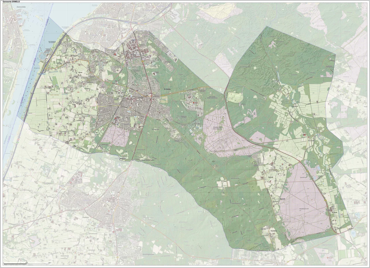
From the Air
Ermelo is at 52.30 deg N, 5.63 deg E in Gelderland province, central Netherlands, on the western side of the Veluwe ridge. The town sits a few kilometers east of the Veluwemeer lake and the A28 motorway. Lelystad Airport (EHLE) is about 25 km west across the polders; Schiphol (EHAM) is about 60 km west. From the air, look for the contrast between the dense forested ridge of the Veluwe and the geometric polder fields of Flevoland just to the west.
Nearby Stories
- IJssel 3.8 km away
- Bilderberg Meeting 4.8 km away
- George Floyd protests in the Netherlands 5.2 km away
- Achterhoek 5.6 km away
- Sallandse Heuvelrug National Park 7.4 km away
- Bovenkarspel 16 km away
- Heinz Struning 17 km away
- Hardenberg 20 km away