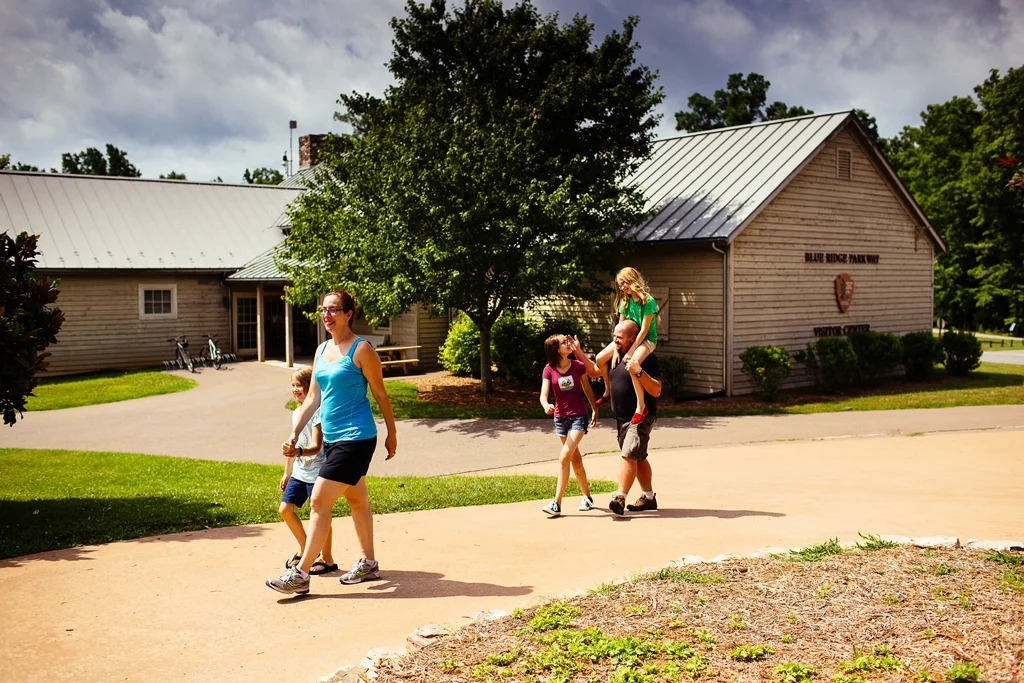

Explore Park
When Disney's America was announced in September 1993 — a planned theme park in Northern Virginia that would dramatize the American frontier — some staff at a much smaller park down on the Blue Ridge Parkway started comparing notes. Explore Park had been pitching a similar concept for years: a recreated 18th-century Virginia frontier, a working tavern, a grist mill, a Native American village, a Lewis and Clark expedition narrative. The Disney project never opened. Explore Park did. It just took a while to figure out what it wanted to be.
A Park Built From Other Places
Explore Park sits at milepost 115 on the Blue Ridge Parkway, 1,100 acres straddling the line between Roanoke and Bedford Counties. The Virginia Recreational Facilities Authority acquired the land in 1988 with a state appropriation, and over the next decade a remarkable collection of historic structures was carried in piece by piece from across the region. Mountain Union Church, originally raised in Botetourt County in the early 1800s, opened on site in April 1998. Brugh Tavern, a relocation from near the Great Wagon Road, opened ten days later. The Hofauger House came from a Roanoke County intersection where it had stood since 1837. Houtz Barn, a German double-crib bank barn, was brought in from Mason's Creek near Salem. Slone's Grist Mill, originally built between 1880 and 1890 on the Pigg River, was reassembled in 2002.
The Florida Developer Who Almost Saved It
By 2001, the state had cut Explore Park's annual appropriation, and Roanoke County stepped in with a five-year commitment that papered over the gap. The longer-term answer was supposed to come from Florida. In June 2005, Virginia Living Histories — a development venture led by Larry Vander Maten — approached the park with a plan to transform it into a major tourist destination. The agreement granted VLH a three-year lease option with two possible one-year extensions. The park closed at the end of the 2007 season, on the theory that VLH would soon take over and shut things down for construction anyway. Vander Maten could not raise the money. The lease option expired in June 2010. The park stayed dark.
Reopening As Something Else
In October 2013, the park reopened under a different arrangement: a 99-year operating lease to Roanoke County, with the Virginia Recreational Facilities Authority retaining ownership. The County's Parks, Recreation and Tourism department took over and reframed the place as a passive recreation site — trails, river access, the surviving historic buildings — rather than the theme park its founders had imagined. In July 2015, the County hired the Philadelphia firm Wallace Roberts & Todd to draw up a master plan for the next twenty years. Cabins, RV spots, and zip lines have been part of the vision. Utilities and improved roads are part of the to-do list. The historic core has continued to evolve too — Hofauger House was repurposed in 2025 as a discovery center, while Frontier Fort, which had been built in 2004 from logs harvested on the property, was demolished in 2023.
Totero Village and a Tragedy on Film
One corner of Explore Park speaks to a deeper history. Totero Village, opened in 2002, reconstructs a Native American settlement from the late 17th century — four houses originally, expanded to seven in 2005, with work shelters, a hide-tanning area, and a garden. The Tutelo people once lived along the Roanoke River; their world was already being reshaped by European trade goods and disease when the village this site represents would have stood. A different historical thread shows up in pop culture: the 2013 film Alone yet Not Alone was shot at Explore Park in 2010. The story it tells is hard — the kidnapping of the Leininger sisters from their Pennsylvania family during the Penn's Creek massacre of October 16, 1755. The cabin built as a set during filming, Leninger Cabin, was patterned on a 1750s log home and remains on the property. Today Explore Park is a quieter place than its founders dreamed, but for cyclists and paddlers and history hikers, it works.
From the Air
Located at 37.238°N, 79.852°W on the Blue Ridge Parkway between Roanoke and Bedford Counties. The park lies in heavily wooded terrain along the Roanoke River near where the river leaves the Roanoke Valley through a gorge. Nearest airport: Roanoke-Blacksburg Regional (KROA), about 8 nm west-northwest. Best aerial views at 3,000-5,000 ft AGL show the Parkway threading the ridgeline above the river.
Nearby Stories
- Radford University 6.2 km away
- Hargrave Military Academy 10 km away
- Monroe County, West Virginia 14 km away
- Botetourt County, Virginia 20 km away
- Battle of Galudoghson 21 km away
- Poplar Forest 25 km away
- Martinsville, Virginia 27 km away
- Galax, Virginia 46 km away