
Fairfax Stone Historical Monument State Park
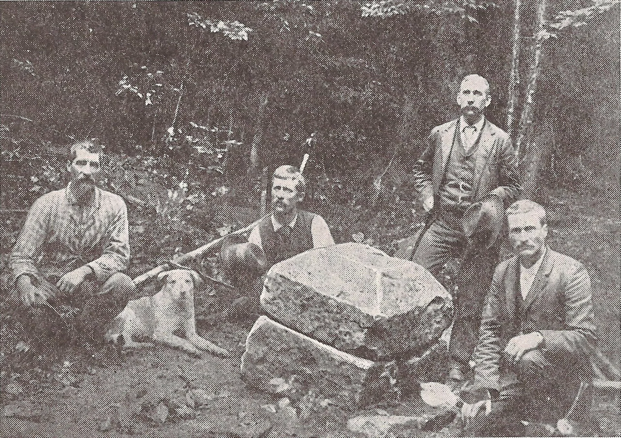
Peter Jefferson - Thomas Jefferson's father - placed a stone in the West Virginia mountains on October 23, 1746. The stone marked the source of the North Branch of the Potomac River and resolved a colonial boundary dispute between Thomas Fairfax, 6th Lord Fairfax of Cameron, and the Privy Council of Great Britain. The original stone was almost certainly just an unmarked natural rock that Jefferson and his fellow surveyor Thomas Lewis selected from among the local outcroppings - that was how boundary stones were generally chosen in the eighteenth century. Two years later, George Washington surveyed the area himself and confirmed the placement. The stone settled the question of who owned five million acres of unsurveyed colonial land. It is still there. The original is not.
The Northern Neck Grant
The Fairfax Stone story starts with Charles II of England, exiled in 1649 and in need of supporters. He granted the 'Northern Neck' of Virginia - a vast tract whose western boundary nobody had bothered to survey - to a group of his backers. By the eighteenth century, the grant had passed to Thomas Fairfax, the sixth Lord Fairfax, who controlled some five million acres of colonial Virginia land. The Privy Council disputed the boundaries. Without a clear western edge, no one knew who could legally collect quitrents from settlers, sell parcels, or grant titles. Surveyor John Savage's party had located the source of the North Branch Potomac in 1736 but had not formalized the boundaries. Peter Jefferson and Thomas Lewis's 1746 survey settled the question by placing the stone.
The Fairfax Line
From the stone, Jefferson and Lewis ran the 'Fairfax Line' southeast 77 miles to the source of the Rappahannock River - the formal southern boundary of Fairfax's grant. The line cut through dense forest and steep terrain. The survey crew kept a detailed journal that survived and was published nearly two centuries later. The line is one of the great early surveying achievements in colonial North America, comparable in its precision to the work Charles Mason and Jeremiah Dixon would do a generation later on the Pennsylvania-Maryland border. In 1748, an eighteen-year-old George Washington, working with frontiersman David Morgan, came through and surveyed the area again to confirm the northernmost boundary of Lord Fairfax's land. Washington's involvement gave the Fairfax Stone its small place in the founding-father biographies.
The Stone That Walked Away
The original stone disappeared from common memory after the Revolution. Boundary disputes between Maryland and Virginia in 1833 forced Virginia to relocate it - the site had been lost. Lieutenant Melcher rediscovered the stone in 1859 and reran the Fairfax Line for the two states. The stone remained intact through the Civil War, after which West Virginia seceded from Virginia and became a separate state. By 1909, the stone was gone. Vandals had carried it away. The state of West Virginia, recognizing both the historical importance and the practical legal problem, dedicated a replacement six-ton stone on October 5, 1957. The new stone is impossible to carry off. It sits where the survey party of 1746 said it should, now joined by a flagpole and a small park.
Maryland v. West Virginia
The Fairfax Stone has a more recent legal claim to fame. The North Branch of the Potomac flows west from its source at the stone before curving north and east toward Chesapeake Bay. That geographic quirk meant the stone marked a county corner - not part of the Maryland-West Virginia border. Maryland disagreed. The state argued it should run westward along the Potomac as far as a line from the Fairfax Stone would naturally extend. The dispute reached the U.S. Supreme Court. In Maryland v. West Virginia, decided February 21, 1910, the Court ruled against Maryland. The state's western limit was set at where a line drawn north from the Fairfax Stone would cross the North Branch - giving Maryland less westward territory than it had claimed. The three West Virginia counties of Grant, Preston, and Tucker meet at the stone today.
A Quiet Four-Acre Park
Fairfax Stone Historical Monument State Park is small - four acres, six miles north of Thomas, West Virginia. The site is sparsely developed, lacking buildings or restroom facilities. The Potomac, at its source here, is a small stream emerging from under the stone itself. Visitors can step across the headwater of one of the great rivers of the eastern United States in a single stride. The site was added to the National Register of Historic Places on January 26, 1970. There is no entrance fee. There is rarely a crowd. The stone is six tons of granite quietly holding a colonial boundary that the United States Supreme Court ultimately ratified. The Potomac flows on, carrying the boundary down to Chesapeake Bay one drop at a time.
From the Air
Located at 39.19 degrees north, 79.49 degrees west, in Grant County, West Virginia (at the meeting point of Grant, Preston, and Tucker counties), about six miles north of Thomas. Best viewed from 3,500 to 5,500 feet AGL. The site sits at the headwaters of the North Branch Potomac River - look for the very small stream emerging from the high country. Nearest airports are Elkins-Randolph County (KEKN) and Cumberland Regional (KCBE). The Maryland border runs nearby, with the Eastern Continental Divide zigzagging through the area.
Nearby Stories
- District of West Augusta 2.4 km away
- Battle of Moorefield 12 km away
- Sinks of Gandy 15 km away
- Helvetia, West Virginia 16 km away
- Orkney Springs Hotel 26 km away
- Battle of Fort Necessity 49 km away
- United Airlines Flight 93 77 km away
- West Virginia Penitentiary 79 km away