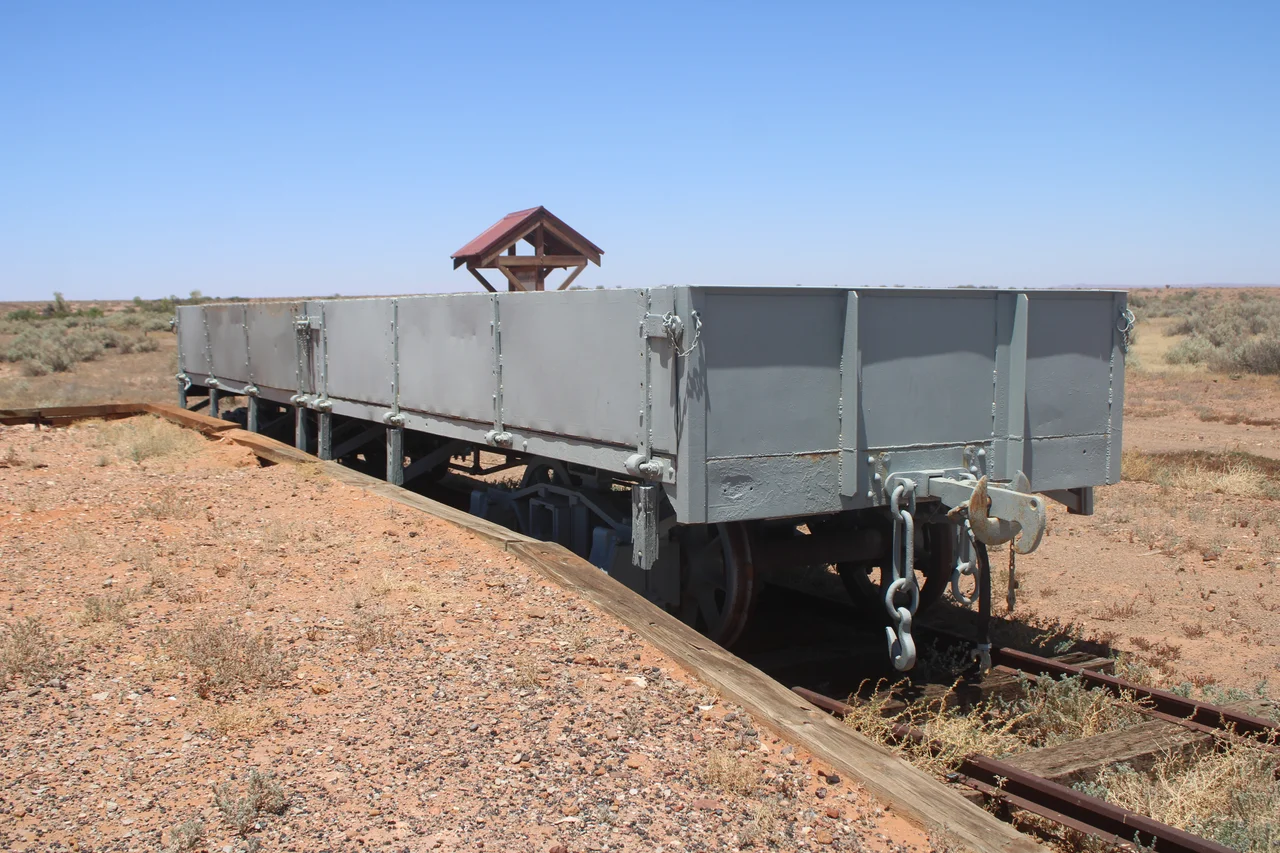

Farina railway station
They named the place for a harvest that never came. When the railway reached this dusty patch of the South Australian outback in 1882, the township was rechristened Farina - Latin for flour, ground wheat - in the confident expectation that the surrounding plains would soon ripple with grain. The optimists had it badly wrong. The country was too dry for wheat, the crops failed, and the town named for flour slowly emptied. What remains today is one of the outback's most evocative ruins, where the old railway station once marked the end of the line.
The Line to Nowhere in Particular
In 1878 construction began at Port Augusta on the Great Northern Railway, a lightly built line that many South Australians imagined as the first leg of a grand transcontinental route all the way to Darwin. Mineral finds in the Flinders Ranges and a run of unusually good rainfall in the Far North had convinced settlers and politicians alike that the dry interior could be tamed. The rails crept north - reaching Quorn in 1879, Hawker in 1880, Beltana in 1881 - and finally arrived at Government Gums, soon to be Farina, in 1882. The Governor of South Australia, Sir William Jervois, declared the line open on 22 May 1882. For two years Farina was the railhead, the bustling end of steel, until the track pushed on to Marree in 1884 and the town became merely a stop along the way.
The Promise of Flour
The renaming was an act of pure hope. Australia's interior had fooled people before with a few wet seasons, and Farina was founded on the belief that the good rains would hold. They did not. The wheat the town's name promised simply would not grow in country this arid, and the dream of a northern grain belt withered. The railway still earned its keep hauling what the land could actually produce - sheep, wool and cattle moved south along the line - but the crops that were meant to justify the whole enterprise never materialised. Farina would always be a place defined as much by what failed to happen as by what did.
The Slow Emptying
At its height Farina was a real town - close to 600 people, two hotels, a school, a church, breweries, and a bakery cut into the ground to beat the desert heat. But a settlement in marginal country needs its railway, and when the narrow-gauge line was finally closed in 1981, Farina's last reason for being went with it. The standard-gauge line that had run alongside it since 1957 carried its final traffic in 2019. The cemetery had stopped taking burials decades earlier. One by one the buildings fell to ruin, the roofs collapsing, the walls slumping back toward the red earth - until Farina was, by every measure, a ghost town.
Bread in a Ghost Town
Then the volunteers came. Since 2008 the Farina Restoration Group has drawn people from across Australia, who give up weeks at a time to stabilise the ruins and bring fragments of the town back to life. Their finest trick is the underground bakery - a stone Scotch oven dug in beneath the desert in the 1800s, and now, remarkably, working again. For a few short weeks each winter the volunteers fire it up and bake fresh bread and pies in the middle of nowhere, the smell of baking drifting out over a town that is mostly rubble and memory. The profits go straight back into the restoration. At the old railway precinct, the group has worked to honour the line that built and then abandoned the place, gathering the relics of an outback railway that aimed for Darwin and stopped, for a while, right here.
From the Air
Farina railway station lies at 30.06 degrees south, 138.28 degrees east, on the flat outback plains north of the Flinders Ranges, between Lyndhurst and Marree. From the air the site reads as a scatter of ruined stone walls and the straight, unmistakable scar of the old railway alignment running across otherwise featureless gibber country, with the ranges rising to the south. There is a local airstrip at Farina; Leigh Creek Airport (YLEC) to the south is the nearest substantial sealed runway, with Port Augusta (YPAG) the main regional gateway further south. Recommended viewing altitude is 3,000-5,500 ft AGL to pick out the township ruins and the rail line together against the open plain. Visibility in this dry country is usually excellent, but the flat, dark gibber surface generates fierce summer thermals and dust by afternoon; early morning offers the steadiest air and longest shadows across the ruins.
Nearby Stories
- Leigh Creek, South Australia 20 km away
- Birdsville Track 37 km away
- Arkaroola 49 km away
- Marree Man 52 km away
- Mount Chambers Gorge 74 km away
- Olympic Dam mine 91 km away
- Strzelecki Creek 108 km away
- Strangways Springs 163 km away