Fly River
It is named for a ship. In 1845, a British corvette called HMS Fly was surveying the western coast of the Gulf of Papua under the command of Francis Blackwood when her officers noted a great river mouth emptying into the sea. Blackwood's crew decided to call the river after the vessel that found it, and he proclaimed that a small steam-powered boat could travel far inland. In 1876 an Italian explorer named Luigi D'Albertis proved him right, pushing his little steamer Neva 900 kilometers into the interior of New Guinea — the farthest any European had ever travelled on the island. The Fly has carried that name, and that odd colonial baptism, ever since.
A River Measured in Superlatives
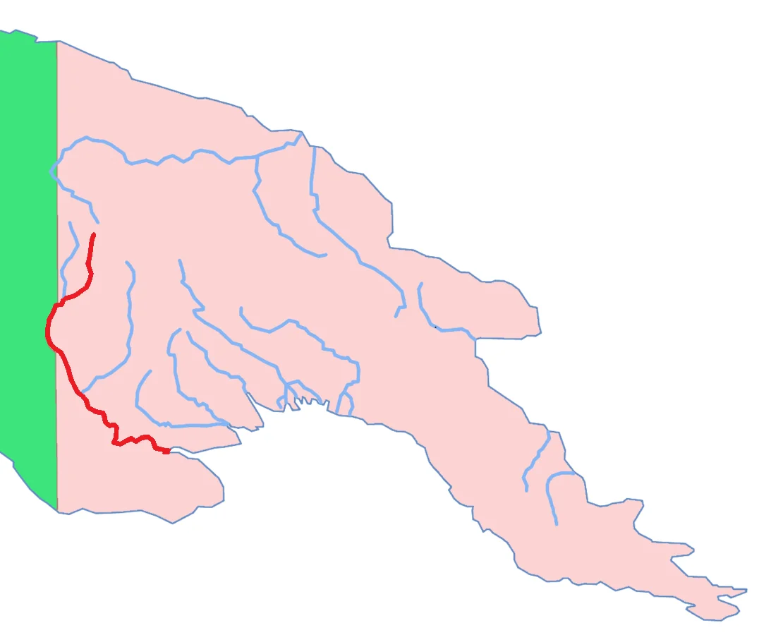
The Fly is the third longest river on the island of New Guinea, after the Sepik and the Mamberamo. Combined with its largest tributary the Strickland, the Fly-Strickland system is the longest river system of any island in the world. More remarkable still, by volume of discharge the Fly is the largest river in Oceania, the 23rd largest river in the world, and — the distinction most worth pausing over — the largest river anywhere on Earth without a single dam in its catchment. From its headwaters in the Victor Emanuel Range, an arm of the Star Mountains, it crosses hundreds of kilometers of southwestern lowland before emptying into the Gulf of Papua. The river runs almost entirely through the Western Province of Papua New Guinea, briefly forming the international border with Indonesia's South Papua province — the border trades a small gain of PNG territory north of the river for a corresponding gain of Indonesian territory south of it, with Indonesia retaining navigation rights all the way to the mouth.
The Funnel of the Delta
The delta of the Fly is a textbook example of tide-dominated geomorphology. Sedimentary geologists study it as a "type case" for interpreting ancient rock formations around the world. The entrance is more than 100 kilometers wide at the sea. Eleven kilometers upstream, at a point called the apex, the delta narrows dramatically as its three main distributary channels — the Southern, Northern, and Far Northern Entrances — come together. Between those channels, long sand-and-mud islands covered in mangrove shift and re-form at astonishing rates: up to 150 meters per year in the apex area, slower farther out. Tides amplify as they travel inward, from about 3.5 meters at the sea entrance to a peak of roughly 5 meters at the apex. The whole system is prograding seaward, advancing into the Gulf of Papua at an average of 6 meters a year. Close to the mouth, rising tides produce a tidal bore — an incoming wall of water pushing upstream — whose full range has never been properly documented.
Life Along the Water
The islands of the delta are low, swampy, and covered in mangroves and nipa palm. The estuary banks look much the same. Soils are thick, fertile alluvium, and the inhabited islands — Kiwai, Wabuda, and Domori among them — sustain communities that farm coconut palm, breadfruit, plantain, sago palm, and sugar cane alongside hunting and fishing. Kiwai Island gives its name to the Kiwai-speaking peoples of the area, whose culture is closely tied to the river and the Torres Strait. The Fly River turtle, also called the pig-nosed turtle for its distinctively fleshy snout, is an oddity even among reptiles: the only freshwater turtle in the world with flippers rather than feet. They rarely leave the water, and although classed as omnivores they eat little meat. Nothing else on Earth is quite like them.
A River Under Pressure
The Ok Tedi Mine, in the headwaters country near Mount Fubilan, has discharged roughly 70 million tonnes of untreated waste into the Ok Tedi tributary each year for decades. That sediment and its chemical load travel far down the Fly, and a thousand kilometers of river have been altered. Raised riverbed, flooding, forest die-off, and contaminated fish are the documented consequences, with effects particularly severe upstream of the confluence. The downstream delta is less severely polluted, but in 2008 Ian Campbell, a former advisor to Ok Tedi Mining, raised public concern that significant portions of the Fly floodplain remain at risk from acid mine drainage. Sediment cores collected from the Fly Delta in 1990 showed no detectable copper concentration above natural background levels, which was at the time taken as reassuring for the northern Great Barrier Reef, which sits offshore from the river mouth. Monitoring continues. The longest undammed river on Earth is not untouched — it has simply received its impacts from a different direction.
From the Air
From altitude, the Fly is unmistakable. Its gray-brown water spreads through the southwestern lowlands in a pattern of meanders and oxbow lakes, widening as it picks up the Strickland from the east. Near the headwaters you can see the paler tinge from the Ok Tedi confluence. Over the delta the water fans out into a hundred-kilometer spread of mangrove-stabilized islands, the three distributary channels visible as silver lines at low sun angle. D'Albertis' 1876 route went up the main stem far beyond where most modern river traffic reaches; Kiunga, the principal river port and terminus of the Ok Tedi slurry pipeline, is the most northerly point regularly navigable by large barges today. Everything upstream depends on local boatmanship, shifting sandbars, and seasonal flow.
From the Air
The Fly River stretches across the southwestern lowlands of Papua New Guinea, centered near 5.30 S, 141.52 E for the middle reaches. The delta mouth empties into the Gulf of Papua near 8.30 S, 143.50 E. Kiunga Airport (UNG/AYKI) serves the upper navigable river; Port Moresby (POM/AYPY) is the main national hub. For delta viewing, 8,000 to 12,000 feet AGL in clear weather shows the funnel-shaped distributary pattern clearly. For the middle reaches, 5,000 to 8,000 feet AGL traces the meanders and oxbows. Morning flying is strongly preferred; the Gulf of Papua has rapid cumulus development by afternoon.
Nearby Stories
- Merpati Nusantara Airlines Flight 9760D 59 km away
- 2016 Sunbird Aviation Britten-Norman Islander Crash 61 km away
- Trigana Air Flight 267 80 km away
- Boven-Digoel Concentration Camp 92 km away
- 2018 Papua New Guinea Earthquake 100 km away
- Porgera Gold Mine 119 km away
- 2024 East Sepik Earthquake 164 km away
- New Guinea Highlands 167 km away