Merpati Nusantara Airlines Flight 9760D
"Direct, the sky is blue over there and the layer of the cloud is 10,000 feet." That was the captain's voice on the cockpit recorder of Merpati Nusantara Airlines Flight 9760D, spoken about fifteen minutes before the aircraft struck a mountain at 9,300 feet. The de Havilland Twin Otter had taken off from Sentani Airport in Jayapura at 10:15 on the morning of 2 August 2009, carrying twelve passengers and three crew into the tight highland airstrip at Oksibil. Another aircraft had already radioed a warning: the cloud tops over Oksibil were at 12,500 feet, and the usual route would have to be detoured via Kiriwok to stay visual. The captain chose a different line.
Everyone Indonesian, Half of Them Officials
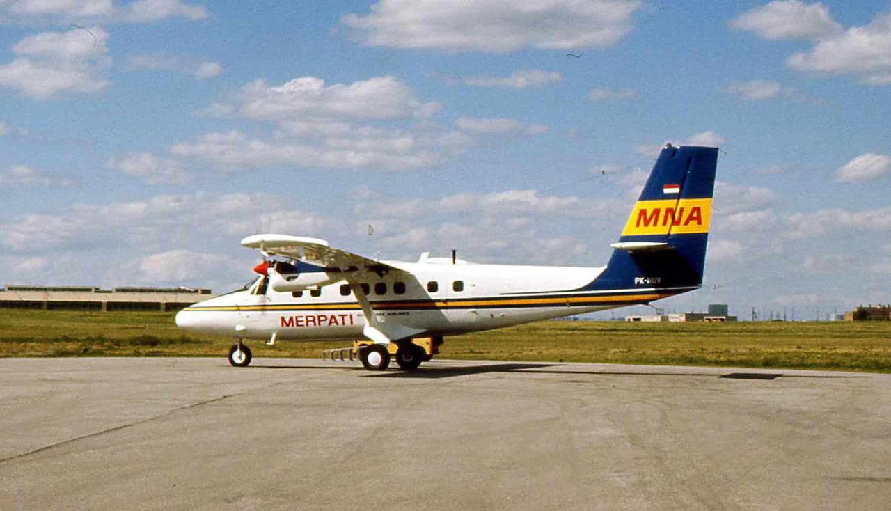
The passenger list on Flight 9760D was small and specific. All fifteen people on board were Indonesian nationals. Ten adults, two infants, and three crew - the captain, a young first officer, and a flight engineer. Among the adult passengers were local government officials and workers from the highland administrative apparatus, people whose jobs required them to cross the range between Jayapura on the north coast and the small Oksibil airstrip tucked into the Bintang Mountains. The captain was experienced, with 8,387 hours in his logbook. The first officer had 1,207 hours - less experienced, but not unusual for a regional carrier. The aircraft itself was a DHC-6-300 registered PK-NVC, built in 1979, with more than 30,000 hours in the air. It carried no flight data recorder. Indonesian regulations did not require one.
The Shortcut
The Twin Otter's intended flight path would have taken it along established visual corridors through the highlands. Twenty-five minutes before the crash, the crew had spoken with a C-130 Hercules crew coming the other way, who told them to expect low cloud bases at Oksibil and suggested the Kiriwok detour. The captain did not take it. Fifteen minutes before impact, he told the first officer, "Let's fly direct Oksibil." The first officer, with the careful deference that Indonesian cockpit culture sometimes produces, replied, "Direct, brother?" The captain: "Direct, the sky is blue over there." The Twin Otter continued on a shortened track toward the airstrip, toward country that, as the captain knew, included ridges above 9,000 feet.
The Last Two Minutes
The cockpit voice recorder captured the moment the confidence slipped. For eighteen minutes after the direct-to decision, the conversation stayed relaxed. The captain mentioned that if he could not go visual, he would turn left. Then, two minutes before impact, the first officer noted haze and asked if the captain could see. Fifty seconds before impact, the first officer asked again about the captain's intentions. "Climb, to the left," the captain said. Forty-two seconds before impact, the first officer asked if it was safe on the left. Then he asked about visibility, and about speed. The sounds on the recorder indicate that thirteen seconds before impact, both engines were pushed to high power - a final attempt to climb. The aircraft was banking left when it hit the slope at 9,300 feet.
What the Investigation Couldn't Find
The Indonesian National Transportation Safety Committee examined the wreckage and the recorded voices. There were no maintenance defects. The cargo was within limits. The weather in the valleys was described by villagers as clear, with clouds clinging to the mountains and slopes. The NTSC's verdict was controlled flight into terrain - the pilots had not maintained visual flight rules while flying below the lowest safe altitude, and had not detected the terrain in time. The investigators also noted, pointedly, that Merpati Nusantara Airlines had not fully cooperated with the investigation, failing to provide full line-check and training records for the flight crew. The Twin Otter's lack of a flight data recorder had forced the investigation to rely on cockpit voice evidence alone.
The Pattern Behind It
Flight 9760D was not an outlier. Between 2010 and 2016, Indonesia averaged at least one major airline accident per year; the country was rated below the global average by ICAO's safety audit program. Papua concentrated much of the risk. Its terrain is the steepest in Indonesia, its weather is the least predictable, its navigation infrastructure is the thinnest, and its communities depend almost entirely on small aircraft for any connection to the coastal cities. Every year, pilots fly the same short hops between Sentani, Wamena, Oksibil, Timika, and dozens of village strips, and every year some of those hops end in ridges. The captain who said "the sky is blue over there" was making a judgment that Papuan pilots have to make constantly. On the second of August 2009, in the haze that drifted up the Bintang slopes, he was wrong.
From the Air
Crash site near 4.71S, 140.62E, in the Bintang Mountains of Highland Papua, at approximately 9,300ft impact elevation. Sentani Airport (WAJJ/DJJ) to the northwest serves as the regional hub; Oksibil Airport (WAJO/OKL) sits in a valley at ~4,300ft. The route between them crosses terrain rising to 9,000-10,000ft with few navigational aids. Kiriwok provides an alternate visual routing when direct approach is obstructed. All flights in this region are weather-dependent; orographic cloud and haze form rapidly on valley walls. Cruise at FL200+ for safe overflight; terrain briefings are essential for any direct routing.
Nearby Stories
- Ok Tedi Environmental Disaster 37 km away
- New Guinea Highlands 51 km away
- Ok Tedi Mine 69 km away
- 1981 Irian Jaya Earthquake 77 km away
- Baliem Valley Campaign 99 km away
- Baliem River 130 km away
- Highland Papua 166 km away
- Aitape 207 km away