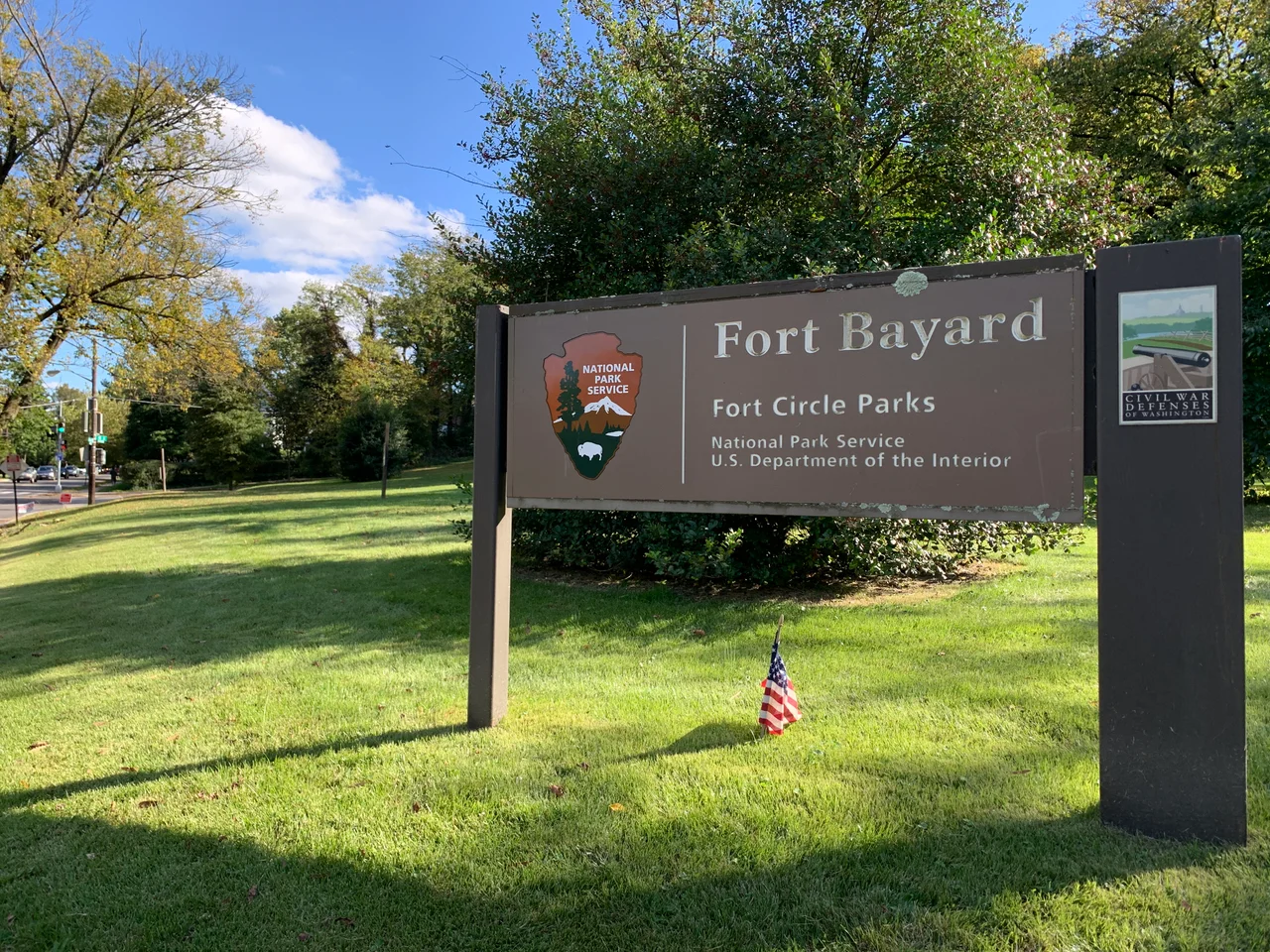

Fort Bayard (Washington, D.C.)
Philip Buckey was a farmer with a wife, four children, and two servants. He lived in a farmhouse near the corner of River Road and the Maryland line in what was then Washington County. In 1861 the War Department came to him and offered fifty dollars a year to use a piece of his land to build a fort. Buckey agreed. The Union Army cut down his trees, threw up earthen walls in the shape of a small circle 123 yards around, mounted six guns facing north along the road, and named the place Fort Bayard. Buckey stayed in his farmhouse through the war. He never lost the land, just the rent. The fort never fired a shot in anger. The piece of his farm the army borrowed is now a quiet city park.
The Ring of Forts
After the disaster at First Bull Run in July 1861, Washington was almost defenseless. George B. McClellan, newly named commander of the Army of the Potomac, looked at the city's improvised earthworks and called them unable to offer a vigorous resistance to a respectable body of the enemy. His chief engineer John G. Barnard set about building what would eventually become sixty-eight forts and ninety-three batteries arrayed in a thirty-three-mile ring around the federal city, the largest connected fortification system constructed in North America to that point. Fort Bayard was a small piece of the ring, built to guard the point where River Road crossed from Maryland into the District. River Road was the most direct overland route from western Maryland and the upper Potomac into Washington, and it ran right through the high ground that Confederate forces would eventually try to exploit during the Battle of Fort Stevens in 1864.
The General the Fort Was Named For
George Dashiell Bayard was a cavalry officer who had grown up in Iowa and graduated from West Point in 1856. He was twenty-six years old at Fredericksburg in December 1862 and was about to be married. On December 13, the day Union forces were thrown back with terrible losses against the stone wall at Marye's Heights, Bayard was sitting under a tree at the headquarters of his division commander, waiting for orders. A stray Confederate solid shot, fired from across the Rappahannock River, struck the tree, deflected, and struck Bayard. He died the next morning from his wound. Four months later, in April 1863, the small unnamed earthwork at the corner of River Road and the Maryland line was officially designated Fort Bayard in his memory. He was twenty-six.
The Garrison That Was
Fort Bayard was considered a rear-line fort, meaning that the planners did not expect it to be heavily attacked and did not assign a full infantry garrison. The artillerymen at the guns were permanent. The infantry that would have manned the walls in case of attack was supposed to come from Washington's twenty-five-thousand-man reserve. But by 1864 the reserves had been stripped to less than half their planned strength to feed the desperate fighting in Virginia. A May 1864 inspection by General Albion P. Howe found Fort Bayard manned by a single company of the Seventh New York Heavy Artillery, one hundred and thirty-seven men of all ranks tending two twelve-pounder field howitzers and four twenty-pounder Parrott rifles. Howe found the magazine dry and well-supplied but the troops needing serious improvement. The artillery drill was ordinary. The infantry drill was very indifferent. Discipline was indifferent. The Seventh New York was replaced with a company from the 163rd Ohio Infantry.
The Battle That Did Not Come Here
In July 1864, Confederate Lieutenant General Jubal Early led a corps of about fifteen thousand men into Maryland and then south toward Washington as part of a desperate strategy to relieve pressure on the Confederate forces around Petersburg. Early's column reached the outskirts of the city on July 11 and probed the defenses at Fort Stevens, about three miles east of Fort Bayard. Lincoln himself watched the brief fighting from the parapet of Fort Stevens, the only American president ever to come under fire in combat. Early's force was not strong enough to break through, and after two days he withdrew back into Virginia. Fort Bayard saw none of this action. Confederate cavalry probed along River Road, but no attack developed. The fort was decommissioned along with the rest of the Washington defenses after Lee's surrender at Appomattox in April 1865.
Boundary Park
The earthworks were leveled, the timber salvaged, and the land returned to the Buckey family within a few years of the war's end. Tenleytown grew into a streetcar suburb in the 1890s. The neighborhood that absorbed the old fort site eventually became part of the District's Friendship Heights area. The Civil War War Department's small Boundary Park at the intersection of River Road and Western Avenue NW preserves the fort site today. The U.S. National Park Service maintains it. There is a marker. There are no walls left. Nothing about the place suggests that one hundred and thirty-seven New York artillerymen once stood here watching the road for an army that came close but never quite arrived.
From the Air
Fort Bayard's site is at 38.9583 degrees north, 77.0814 degrees west, in Boundary Park at the intersection of River Road and Western Avenue NW, on the District-Maryland line in northwest Washington. Best viewed at 1,500 to 2,500 feet AGL with the line of small parks marking the old fort ring visible to the south and east. Reagan National (KDCA) is eight nautical miles south. The site lies inside the Washington Class B veil but just outside the P-56 prohibited area; overflight requires ATC coordination.
Nearby Stories
- Gunston Hall 1.1 km away
- 2023 Baltimore Shooting 4.9 km away
- Battle of Middleburg 6.6 km away
- Crownsville Hospital Center 10 km away
- Battle of Loudoun Heights 13 km away
- First Battle of Rappahannock Station 20 km away
- Howard County, Maryland 21 km away
- Harriet Tubman Underground Railroad 50 km away