Fort Tahula
The fort that the Spanish called Santiago de los Caballeros de Tidore took six years to build and changed hands at least three times. Begun in 1609 on the volcanic island of Tidore, in the heart of the Maluku spice archipelago, Fort Tahula was conceived as a military outpost in one of history's most fiercely contested trade zones. What the Spanish built as a garrison, a Tidorese sultan would later transform into a royal residence, and a rebel prince would arm with cannons for war against the Dutch.
Built by Governors, Delayed by Labor
Construction of Fort Tahula was ordered by Juan de Esquivel, the first Spanish governor of the Moluccas, in 1609. Spain had maintained a presence in the eastern Indonesian archipelago since the sixteenth century, allied with the Sultanate of Tidore against the Dutch-backed Sultanate of Ternate to the north. But building a fortress on a remote volcanic island proved difficult. A shortage of labor workers stalled construction, and the project passed to Esquivel's successor, Cristobal de Azcqueta Menchaca. The fort was not completed until 1615. Its full Spanish name, Sanctiago de los Caualleros de la ysla de Tidore, reflected the unstable spellings of the period as much as the unstable politics of the region.
A Sultan's Stronghold
In 1662, the Dutch East India Company wrested control of Fort Tahula from the Spanish. Rather than garrisoning it with their own troops, the VOC made an unusual concession: they allowed Sultan Saifuddin of Tidore to reside within the fort's walls. For the Tidorese sultanate, this represented a shift from colonial outpost to seat of indigenous power. The fort's rectangular plan, its four buildings of natural stone, its bastions shaped as triangles and circles, its inner courtyards and semicircular doorways became the backdrop for Tidorese court life. But the arrangement was pragmatic, not generous. The VOC needed local cooperation to maintain its grip on the spice trade, and housing the sultan in a defensible position kept him both comfortable and contained.
Nuku's Rebellion
The most dramatic chapter in Fort Tahula's history came in 1799, when Sultan Nuku chose it as a staging ground for his planned assault on the VOC. Nuku, who had declared himself Sultan of the Papuan Islands and waged a guerrilla war against Dutch control for years, upgraded the fort by adding cannons and stockpiling ammunition. His rebellion, backed by the British as part of their broader campaign against Dutch interests in the Moluccas, would eventually succeed in retaking Tidore in 1797 and helped the British conquer Ternate in 1801. Fort Tahula, built by one colonial power and seized by another, had become a weapon in the hands of an indigenous ruler fighting to reclaim sovereignty over his own islands.
What the Stones Remember
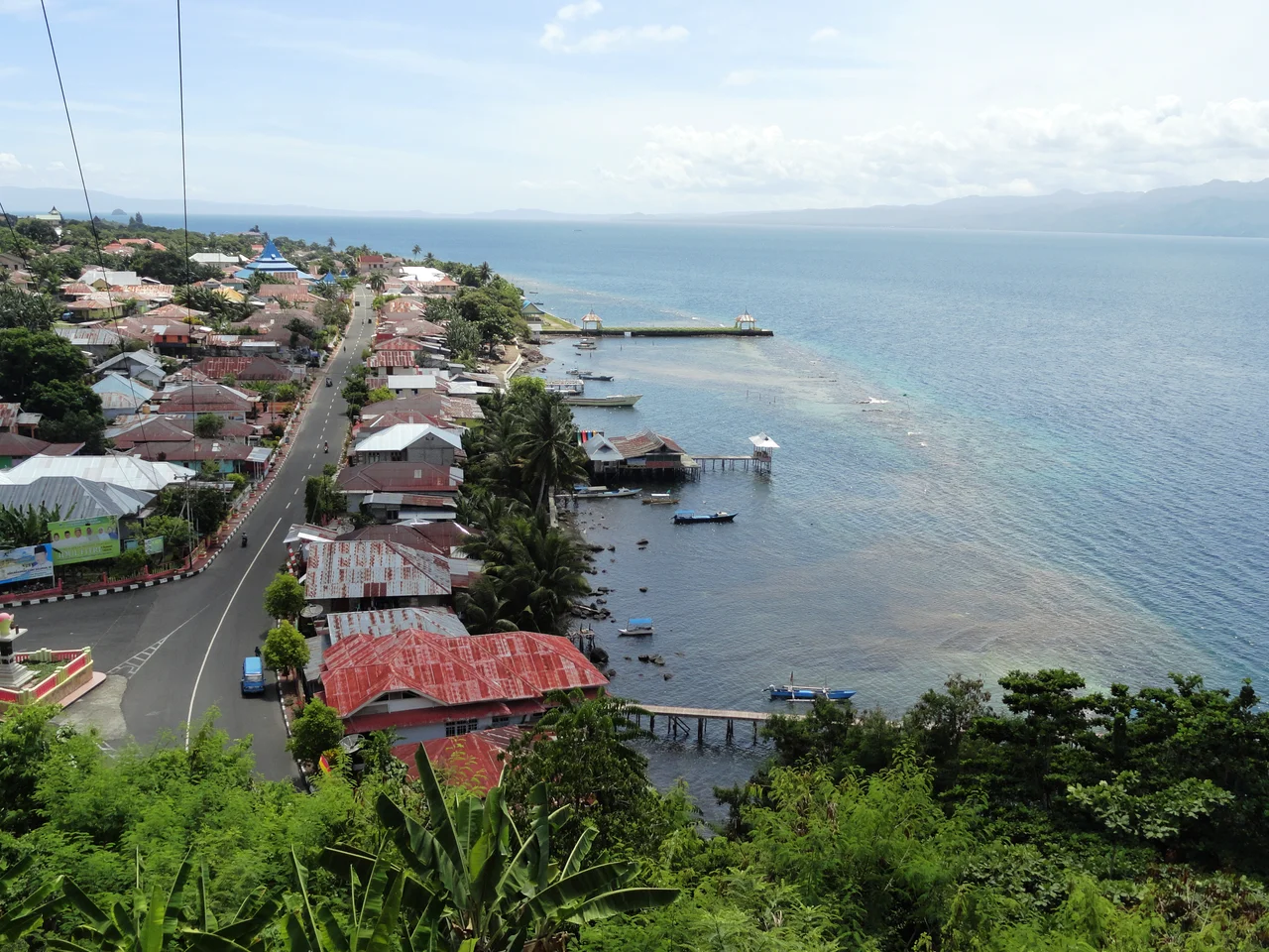
The Dutch destroyed Fort Tahula in 1707, but enough survived for the structure to be rebuilt and reused. Today, the ruins stand in the regency of Soasio on Tidore Island, their natural stone walls still marking the rectangular footprint of the original Spanish design. Visitors can trace the bastions, walk the inner courtyard, and find the room with its distinctive semicircular door. Tombs, staircases, and a pond occupy the interior. The fort is modest in scale compared to the grander Dutch fortifications on neighboring Ternate, but its layered history, Spanish construction, Dutch seizure, Tidorese occupation, and rebel armament, makes it one of the more compelling colonial-era sites in the Maluku Islands. Each stone carries the marks of multiple masters.
From the Air
Fort Tahula is located at approximately 0.65N, 127.44E on the eastern coast of Tidore Island. From the air, Tidore is dominated by the volcanic cone of Kie Matubu (1,730 m). The fort sits in the Soasio area on the island's lower slopes facing Halmahera. The nearest airport is Sultan Babullah Airport (WAMN) on Ternate, just a few kilometers across the strait. Best viewed at low altitude (2,000-5,000 feet) when approaching Tidore from the east. Look for the strait between Tidore and Ternate and the cluster of historic structures along Tidore's coast.
Nearby Stories
- Makian 8.6 km away
- Aketajawe-Lolobata National Park 45 km away
- Mount Ibu 71 km away
- The Ocean's Hidden Crossroads 123 km away
- North Halmahera Regency 124 km away
- The Sea That Swallows Itself 187 km away
- Bitung 201 km away
- Tangkoko Batuangus Nature Reserve 217 km away