The Ocean's Hidden Crossroads
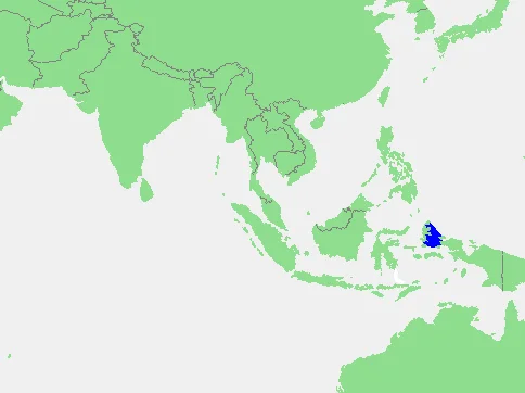
Somewhere between the Pacific and Indian Oceans, in a stretch of water most atlases barely label, the largest movement of water on the planet is quietly underway. The Indonesian Throughflow pushes roughly fifteen million cubic meters per second through the narrow passages of the East Indian Archipelago, and the Halmahera Sea is one of its principal gateways. Centered at about one degree south of the equator and 129 degrees east, this 95,000-square-kilometer sea connects the deep Pacific to the labyrinth of straits and basins that eventually deliver its water to the Indian Ocean. It is not a sea that announces itself with famous coastlines or historic ports. Its significance is structural -- a plumbing junction for the global ocean, hidden in plain sight among the islands of eastern Indonesia.
Four Peninsulas and a Fractured Coast
The western boundary of the Halmahera Sea is one of the most unusual coastlines in the world. Three enormous bays -- Wedi Bay in the south, Buli Bay in the center, and Kao Bay in the north -- cut so deeply into Halmahera island that they carve its eastern shore into four sprawling peninsulas. A fourth inlet, Galela Bay, notches into the coast farther north. The effect, viewed from above, is of an island that appears to have been pulled apart, its land mass splayed outward like the arms of some massive starfish. Each peninsula is mountainous and densely forested, with rivers draining into bays that can stretch forty kilometers inland. These bays are not merely geographic curiosities. They create sheltered deep-water environments where upwelling nutrients from the Throughflow concentrate, supporting reef systems and fisheries that sustain thousands of coastal communities.
The Throughflow Engine
The Indonesian Throughflow is the only tropical connection between the world's two largest oceans, and the Halmahera Sea is one of its three main intake channels, alongside the Makassar Strait and the Maluku Sea. Water entering through the Halmahera passage originates primarily in the South Pacific, carried westward by the New Guinea Coastal Current before turning south through the Lifamatola Passage. In boreal winter, the northeast monsoon strengthens this flow, boosting transport through the region by twenty to thirty percent compared to summer months. The current redistributes heat, salt, and nutrients on a planetary scale. It warms the Indian Ocean, influences monsoon patterns across South and Southeast Asia, and modulates the frequency and intensity of El Nino events. The biological consequences are equally vast: the Throughflow sweeps eggs, larvae, and organic detritus from deep Pacific basins into the shallow seas of the Coral Triangle, feeding the richest marine biodiversity on Earth -- a region that holds seventy-six percent of all known coral species despite covering barely 1.6 percent of the planet's ocean surface.
Where Plates Collide in Opposite Directions
The Halmahera Sea sits at the intersection of four tectonic plates -- the Australian, Philippine Sea, Eurasian, and East Mindanao -- making it one of the most geologically active marine environments on Earth. Subduction here runs in two directions simultaneously: the Philippine Sea Plate dives westward beneath the East Mindanao Plate at the Philippine Trench, while the East Mindanao Plate subducts eastward beneath the Philippine Sea Plate at the Halmahera Trench. This double subduction creates a zone of deep seismicity and active volcanism, with earthquakes recorded at depths exceeding six hundred kilometers. The seafloor topography reflects this violence. The Halmahera Basin plunges to 2,039 meters, and the surrounding ridges mark ancient fault lines and volcanic arcs. In 2023, researchers discovered a 615-meter-tall conical feature in Halmahera waters showing traces of hydrothermal activity -- evidence that the geological forces shaping this sea are far from finished.
A Sea Between Worlds
The International Hydrographic Organization draws the Halmahera Sea's boundaries with careful precision: from Morotai in the north to the tip of New Guinea in the southeast, from Waigeo and Batanta islands in the east to Obi Major in the southwest. These lines enclose a body of water that belongs to no single nation in the cultural sense, though it falls entirely within Indonesian sovereignty. To its north lies the open Pacific. To its south, the Seram Sea leads toward the Banda Arc and eventually Australia. The islands framing it -- Halmahera, Morotai, Waigeo -- were battlegrounds during World War II, stepping stones in the Allied advance toward the Philippines. Today, the sea's human presence is modest: fishing villages tucked into the bays of Halmahera's peninsulas, dive operators drawn by the pristine reefs, and the occasional research vessel measuring currents that shape weather patterns half a world away. The Halmahera Sea does not seek attention. It simply moves the ocean.
From the Air
Coordinates: 0.333S, 128.833E. The Halmahera Sea is visible as a broad expanse of deep blue water between Halmahera's distinctive multi-peninsula eastern coast and the islands of Waigeo and Batanta to the east. Halmahera's four peninsulas are unmistakable landmarks from cruising altitude. Nearest airports include Sultan Babullah (WAMH) in Ternate to the west and Domine Eduard Osok (WASS) in Sorong to the east. Best viewed at 30,000+ feet for full extent; drop to 10,000 feet to appreciate the deep bay systems cutting into Halmahera.
Nearby Stories
- Halmahera Rain Forests 83 km away
- The Islands That Made Wallace Faint 90 km away
- Kayoa 105 km away
- The Four Kings 127 km away
- The Amazon of the Seas 127 km away
- Halmahera 136 km away
- Misool: Port of Kings 172 km away
- Hatohobei 387 km away