
Fulda Gap
There is no signpost for the Fulda Gap. It is not a pass, not a valley, not a feature any geologist would bother naming. What it is, is a pair of shallow lowland corridors running west out of Thuringia toward Frankfurt am Main - the southern one through Fulda, the northern one through Alsfeld, with the old volcanic mass of the Vogelsberg humped between them - and forty years of staff officers on both sides of a fence agreeing that if it ever started, it would start here. Tanks need ground that will not tip them or bog them down, and this was the best of it between the inner German border and the Rhine crossings. It became, for a while, the most carefully studied farmland on the planet, and nothing happened on it.
Napoleon Came Through First
The corridors were noticed long before anyone drew a red arrow on a NATO map. After Napoleon lost the Battle of Leipzig between 16 and 19 October 1813, this was the route he took his army out along. A Bavarian and Austrian force under Karl Philipp von Wrede moved to cut him off and met him at Hanau on 30 and 31 October, not far from Frankfurt; Napoleon beat them and got back to France.
Then the ground went quiet. After 1815 it lay deep inside the German Confederation and, from 1871, the German Empire, and German planners assumed any war reaching this far into the homeland was already lost. It surfaced again in the last weeks of the Second World War, when the U.S. XII Corps drove east along it in late March and early April 1945. By July 1946 American constabulary regiments were patrolling the new inter-zonal boundary, and the line they walked stayed put for forty-four years.
The Regiment That Watched the Fence
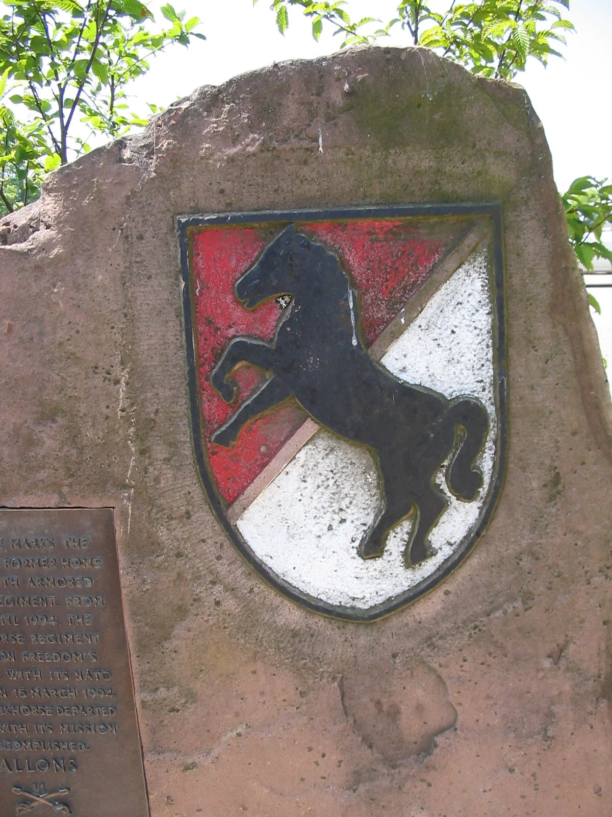
From 1951 the job belonged to the 14th Armored Cavalry Regiment. In 1972, when the 11th Armored Cavalry came home from Vietnam, it took over and held the mission until the Cold War ended. Armored cavalry is reconnaissance with armour on it, and the peacetime work was unglamorous and constant: driving border tracks, sitting in observation posts, logging what moved on the other side and waiting to notice the day it moved differently.
In a war their orders were not to win. They were to buy time - to stay in visual contact, report what was coming, and force an advancing Warsaw Pact force to stop, deploy out of column, and fight, while trading ground for the hours V Corps needed to get its two heavy divisions forward from Frankfurt and Bad Kreuznach. Delaying actions are the assignments soldiers like least, and everyone involved knew what the arithmetic looked like.
The Arithmetic Nobody Liked
On the far side of the fence stood the Soviet 8th Guards Army, with the four tank divisions and one motor rifle division of the 1st Guards Tank Army behind it, both near the front of the queue for new equipment. Against that, V Corps could put an armored division and a mechanized infantry division into the Gap. How well that would have gone was, in the honest phrasing of the historical record, simply unknown.
So the Americans compensated with things other than numbers. Atomic Demolition Munitions - nuclear charges meant to crater the routes themselves - sat in the Gap for years. Corps artillery held nuclear-capable missiles: the Corporal, replaced by the solid-fuel Sergeant in 1962 and by the Lance in 1973. An engineer battalion at Wildflecken existed largely to blow bridges and roads on order. From 1980 a military intelligence battalion in Frankfurt fielded jammers and Russian- and German-speaking linguists trained to talk their way onto enemy radio nets and issue false orders. In 1987 the 3rd Armored Division became the first unit anywhere to field the AH-64 Apache.
Living In the Target Area
It is easy to write this as a map exercise and forget the target area was somebody's home town. Fulda is an old cathedral city with a baroque core; Alsfeld is a half-timbered market town; the country between them is dairy farms and small woods. Families here got used to tank tracks in the verges, to manoeuvre damage claims, to helicopters at low level, and to the certainty that the first hour of any European war would happen in their fields. The fence itself cut through communities that had been single places before 1945, leaving villages facing each other across ploughed strips, watchtowers and mines.
The Soviets, meanwhile, had spent from 1975 developing operational manoeuvre groups precisely to avoid strongpoints like this one - which means both sides were quietly planning for the battle to happen somewhere the other had not prepared.
Point Alpha
The best place to stand and understand it is Observation Post Alpha, on the Rasdorfer Berg in the Rhön hills between Rasdorf in the west and Geisa in the east. The Americans took the position over in 1965 and put up their first wooden tower in 1968; it was manned by the 1st Squadron of the 14th Cavalry out of Fulda, and by the 11th after 1972. From the top you looked straight down one of the corridors.
The last American patrol went out on 31 March 1990. The site is now the Point Alpha memorial: the U.S. camp preserved, a reconstructed stretch of East German border fortification opposite, and a visitor centre explaining the whole apparatus. It was awarded the European Heritage Label in 2011. The corridors below it grow wheat.
From the Air
The Fulda Gap is centred near 50.84 degrees N, 9.67 degrees E, in eastern Hesse along the former inner German border with Thuringia. From the air the structure is legible: two broad lowland lanes running roughly east-west toward Frankfurt, separated by the rounded basalt dome of the Vogelsberg, with the higher, rockier Rhön hills to the southeast. The city of Fulda with its baroque cathedral sits in the southern corridor; Alsfeld's compact half-timbered core marks the northern one. The old border itself is often visible as an abrupt change in field pattern and a long ribbon of unfarmed scrub. Nearest airports are Frankfurt (EDDF), about 85 km southwest, Erfurt-Weimar (EDDE), roughly 100 km northeast, and Kassel (EDVK), about 70 km northwest. Best viewing altitude 4,000 to 8,000 feet to hold both corridors in one frame. The Rhön generates its own weather and is known for reliable ridge lift and gliding.
Nearby Stories
- Edersee Dam 6.7 km away
- Stadtallendorf 11 km away
- Wartburg 12 km away
- 1st German Bratwurst Museum 15 km away
- 7000 Oaks 22 km away
- Zwingenberg Castle 134 km away
- The Dancing Plague of 1518: When Strasbourg Couldn't Stop Dancing 266 km away
- The Defenestration of Prague: The Thrown Men Who Started a Thirty Years' War 304 km away