Gualaceo Canton
The word means "macaw's settlement" in the Chibcha-derived tongue of the Canari people, who lived here long before the Inca arrived, and long before the Inca were swept away by the Spanish. When Sebastian de Benalcazar and his troops descended into this valley in April 1534, they saw rivers flashing gold in the sunlight - the Santa Barbara, the San Francisco, the San Jose, the Guaymincay, the Shio - and they decided to stay. What the conquistadors found at Gualaceo was mineral wealth; what the modern visitor finds is weaving, orchids, rosero drink, and a town that still calls itself El Jardin del Azuay - the Garden of Azuay.
Layers of Conquest
The sequence of rulers reads like a textbook chapter on the Andes. The Canari were first, building a settlement called Gualaca - "macaw's place" - along the Santa Barbara river valley. They belonged to the Kingdom of Quito, a loose coalition of Andean peoples, until the Inca empire of Tahuantinsuyo absorbed them in the late fifteenth century. The Inca rule was brief. By 1531 or 1532, the last Inca emperor Atahualpa had been captured and executed by Francisco Pizarro, and the Spanish began their push south and east from Quito. Benalcazar's arrival at Gualaceo in 1534 marked the fourth imperial layer in less than a century - Canari, Inca, Spanish - with the caciques Llivicura of Gualaceo and Duma of Sigsig guiding the conquistadors through the Tomebamba valley.
Rivers of Gold, and Then Not
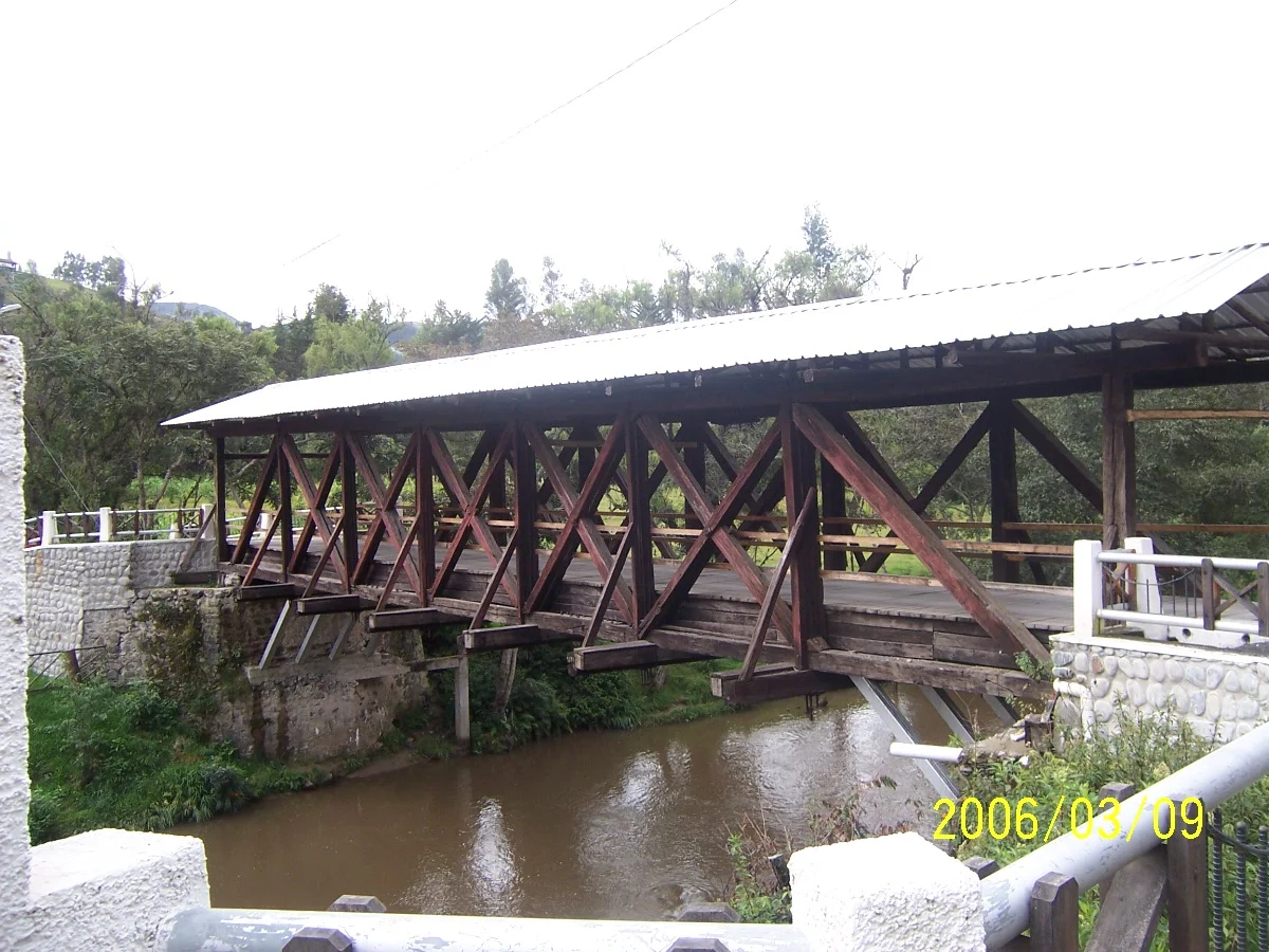
Benalcazar named the rivers Santa Barbara, San Francisco, and San Jose as he established the first mining camp in April 1534. Two tributaries kept their Canari names: Guaymincay and Shio. From 1534 until 1549, the records suggest Gualaceo functioned only as a mining camp with no organized settlement - men extracting placer gold from the river gravels and moving on. It took 210 years before ecclesiastical recognition arrived: in July 1757, Gualaceo was elevated to an ecclesiastical parish of Cuenca under party judge Manuel Davila Chica. When independence came in the 1820s, Davila Chica supplied men, horses, cedar wood, and walnuts to the cause. On June 25, 1824, Francisco de Paula Santander, then vice-president and acting head of Gran Colombia, signed the Law of Territorial Division that made Gualaceo its own canton - the date local residents still celebrate as their founding.
The Macana Weavers
Walk through Gualaceo today and you will find artisans still producing what their grandmothers and great-grandmothers produced. The macana is a traditional shawl - more properly paño - made using the ikat technique, where the warp threads are tied and dyed before weaving to produce intricate patterns. The knowledge passes through families, and visitors can observe the process in artisan homes around the canton. In the central plaza, vendors sell goods carved from wood or woven from paja toquilla, the same fiber that becomes Ecuador's so-called Panama hats. The canton is also a major orchid producer - Ecuagenera, one of the best-known orchid farms in South America, is located just outside town, taking advantage of the microclimate that suits the delicate flowers. For exports, Gualaceo sends orchids worldwide.
Festivals That Still Stage the Past
The Gualaceno calendar holds onto its history through performance. On June 24, the day before the town's official founding anniversary, locals stage a mock battle between Christians and Moors - a medieval Iberian tradition that crossed the Atlantic in the holds of Spanish galleons and never left. February brings the canton's famous carnival, regarded as one of Azuay's best. The Pase del Nino, a Christmas-season pageant, moves children dressed as biblical figures through the streets. And a festival dedicated to rosero, the local drink unique to Gualaceo and usually accompanied by a quesadilla, celebrates something that belongs nowhere else. At the central Mercado 25 Julio, you can find cuy (roasted guinea pig) and hornado (slow-roasted pork), the national comfort foods still made the old way.
A Garden, Still
Gualaceo Canton holds about 43,188 people across a mountain landscape crossed by its three main rivers. It lies 35 kilometers east of Cuenca, making it an easy day trip for weekend visitors but distant enough to have kept its own character. The nickname El Jardin del Azuay - the Garden of Azuay - refers to the fertility of the valleys and the mildness of the climate, but it is also earned by what grows here: orchids by the thousand, corn terraces on the slopes, fruit orchards in the lowlands. The town of Gualaceo itself holds a Cultural Heritage Site of the Nation designation for its preserved colonial architecture. Against a landscape where four empires in succession have tried to remake what they found, the macanas still get woven, the rosero still gets poured, and the rivers that once flashed gold now just flash water and light.
From the Air
Gualaceo sits at approximately 2.90 degrees south, 78.78 degrees west, in the southern Ecuadorian Andes in Azuay Province. Elevation is roughly 2,230 meters. The canton is approximately 35 kilometers east of Cuenca and 25 nautical miles east of Mariscal Lamar International (SECU) at Cuenca, the nearest commercial airport. From altitude, look for the Santa Barbara River valley draining westward, with the town at the confluence of the three main rivers. Andean cloud patterns build in the afternoon; morning viewing provides clearer sight of the terraced hillsides and the orchid nursery complexes outside town. Best visibility is during the dry season, June through November.
Nearby Stories
- Ingapirca 12 km away
- Cueva de los Tayos 27 km away
- 2023 Guayas earthquake 39 km away
- El Guabo Canton 43 km away
- Battle of Yaguachi 56 km away
- Saraguro People 62 km away
- Eastern Cordillera Real Montane Forests 85 km away
- Borja, Peru 173 km away