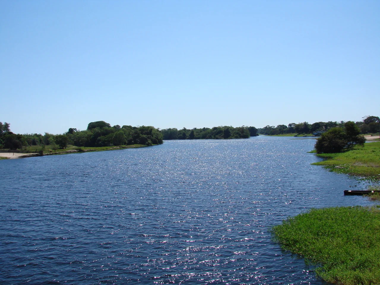

Guaporé River
For more than nine hundred kilometers, this river is a border. On one bank, Brazil. On the other, Bolivia, where the same water answers to a different name, the Río Iténez. The Guaporé runs 1,260 kilometers in all, and for most of that distance it does the quiet work of separating two nations while joining a single ecosystem, indifferent to the line drawn down its middle. Giant otters fish here. Pink dolphins surface in the slow brown current. And in the river's geography hides a small geological riddle that links it to a rival watershed a continent's drainage away.
Two Rivers From One Plateau
High on the Parecis plateau of Brazil, two great rivers are born close together and then turn their backs on each other. The Guaporé flows north and west, feeding the Madeira and ultimately the Amazon, bound for the Atlantic by way of the world's largest rainforest. The Paraguay flows south, draining toward the Río de la Plata and a different sea. Yet because they share a birthplace, they also share inhabitants. Fish that should belong to one basin turn up in the other. The black phantom tetra, prized in the aquarium trade, and the powerful golden dorado, hunted by anglers, swim in both, living proof that a watershed divide can be more porous than the map suggests.
A River Full of Life
Roughly 260 species of fish are known from the Guaporé basin, and about 25 of them live nowhere else on Earth. Most of the fish fauna is recognizably Amazonian, but the river's odd connection to the Paraguay gives it a character all its own. Along its banks and in its oxbows live some of South America's most charismatic and most threatened animals: the giant otter, up to six feet of muscle and curiosity; the pink river dolphin, the largest freshwater dolphin in the world; the black caiman; and the jaguar that hunts the flooded forest edge. This is one of the great strongholds for creatures that are vanishing almost everywhere else.
The Beni Savanna and the Reserve
Crossing the eastern edge of the Beni savanna, the Guaporé forms the boundary of the vast Guaporé Biological Reserve, more than 615,000 hectares of protected wilderness. Rivers born inside that reserve, the São Miguel, the Branco, the São Simão, the Massaco, and the Colorado, pour their waters into the Guaporé, so that the river is fed by the very land it protects. It is a closed loop of wildness: the reserve guards the headwaters, the headwaters feed the river, and the river guards the reserve in turn, an arrangement that has kept this corner of the basin wilder than almost any other.
A Working Border
The Guaporé has never been only a habitat. It was a colonial highway and a defensive line, the reason Portugal planted its frontier capital of Vila Bela on these banks in 1752 to hold the territory against Spanish Bolivia. Today the river still divides and connects two nations, with small towns and crossings dotting both shores. Conservationists on either side increasingly treat the Iténez-Guaporé as a single binational corridor, recognizing what the dolphins and otters always knew: the river does not care which country claims which bank. It simply keeps flowing toward the Amazon.
From the Air
The Guaporé River traces the Bolivia-Brazil border across the southwestern Amazon basin; a representative midpoint lies near 14.60°S, 58.95°W in Mato Grosso. From the air the river is an unmistakable navigation reference, a broad meandering ribbon with countless oxbow lakes, separating Brazilian Mato Grosso from Bolivia's Beni and Santa Cruz departments. There are no large airports directly on the river; the nearest gateways include Vilhena (ICAO SBVH) and other Rondônia fields to the northwest on the Brazilian side, and Santa Cruz's Viru Viru International (ICAO SLVR) far to the south on the Bolivian side. Recommended viewing altitude is 5,000 to 8,000 feet to follow the river's course and pick out the flooded savanna and gallery forest along its banks. In the dry season (May to September) sandbars and clear channels emerge; the wet season swells the river and floods the surrounding Beni savanna into a vast shallow sheet of water.
Nearby Stories
- Vila Bela da Santíssima Trindade 58 km away
- Serra Ricardo Franco State Park 95 km away
- Noel Kempff Mercado National Park 156 km away
- Várzea Grande 251 km away
- Cuiaba 263 km away
- Santa Ana de Velasco 266 km away
- Akuntsú language 285 km away
- Sinop, Mato Grosso 420 km away