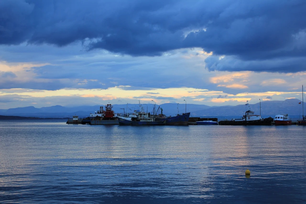

Gytheio
Legend placed the first night of the most famous elopement in history on a tiny island just off this shore. Paris and Helen, having fled Sparta for Troy, are said by ancient tradition to have spent their first night together on the islet of Cranae, a low rock that still sits in the Laconian Gulf within swimming distance of the Gytheio waterfront. Whether or not you believe the myth, the location makes a certain sense: Gytheio was Sparta's port, its window to the wider Mediterranean world, and it possessed something the land-locked warrior city fundamentally lacked — ships, merchants, and the restless energy of a place where goods and people arrived from everywhere.
Sparta's Lifeline to the Sea
Landlocked Sparta depended on Gytheio the way a city depends on its lungs. Sitting roughly 40 kilometres south of Sparta on the eastern shore of the Mani Peninsula, the port was where Spartan war fleets were built, fitted, and launched. In 407 BC, the Athenian general Alcibiades visited and counted thirty triremes under construction — a fleet that would help Sparta grind down Athens in the final years of the Peloponnesian War. Earlier, in 455 BC, the Athenian admiral Tolmides had arrived with fifty ships and four thousand hoplites to burn the city in retaliation. Gytheio was rebuilt. It always was. In 370 BC, the Theban general Epaminondas besieged it for three days after ravaging Laconia. It endured that too.
Before the Greeks, Phoenician traders from Tyre may have worked this coastline. The Laconian Gulf was rich in murex, the sea snail whose crushed body yielded the purple dye that colored royalty throughout the ancient world. The god Castor appears on Gytheio's ancient coins, suggesting a cult that may trace to those early Phoenician contacts. Classical Gytheio was a community of the Perioeci — non-Spartan freemen who were politically dependent on Sparta but maintained their own civic life and almost certainly outnumbered the Spartiates themselves.
The Islet of Cranae and the Weight of Myth
The small island of Cranae floats just off the Gytheio waterfront, low and rocky, connected to the town by nothing but water. Pausanias, writing in the second century AD, recorded the tradition that Paris and Helen sheltered there on their first night together before sailing for Troy — the night that started the Trojan War. The island today is connected to the town by a causeway built in 1898 — a short, pleasant walk — and it holds a small church and the ruins of older structures. Whether a traveler finds it romantic or melancholy probably depends on how they feel about ten years of war, the death of Achilles, and the burning of a city.
Cranae is the kind of place where myth and geography conspire to make the ancient world feel close. Standing on the Gytheio waterfront in evening light, with the island silhouetted against the Laconian Gulf, it requires no great effort of imagination to picture a ship at anchor and two figures on a dark beach, neither yet understanding what they had begun.
From Roman Prosperity to the Union of Free Laconians
After the Siege of Gythium in 195 BC — when Roman, Rhodian, Pergamese, and Achaean forces wrested the port from the Spartan tyrant Nabis — the city entered a long Roman chapter. Gythium became the leading city of the Union of Free Laconians, a confederation of twenty-four communities (later eighteen) that banded together to preserve their autonomy against Sparta and were formally declared free by Augustus. The Union's chief officer held the title of general and was assisted by a treasurer called the rauias; the local magistrates of each member town bore the ancient title of ephors, a deliberate echo of Spartan governance. The Romans found Gythium's harbor useful, and the port prospered.
Most of the ruins of ancient Gythium now lie beneath the Laconian Gulf, a consequence of the earthquake that likely destroyed the city in the fourth century CE. Some walls survive on the beach at Valtaki, visible in the shallow waters where the wreck of the modern cargo ship Dimitrios still lies stranded on the sand — a rusting hulk that has become its own kind of landmark.
The Town Today
Modern Gytheio opened a proper port in the 1960s, and ferries now sail almost daily to the island of Kythira, with additional service to Crete twice a week. The town serves as the administrative center of the East Mani municipality and the seat of the Diocese of Gytheion and Oitylo, whose Metropolitan bishop leads the local Orthodox community. The population has settled at just over four thousand in the town proper.
Two of Gytheio's sons reached the highest office in Greece: Alexandros Othonaios (1881–1970), a general who served as Prime Minister, and Tzannis Tzannetakis (1927–2010), a politician who also held the position. For a small coastal town at the edge of the Mani, that is a remarkable record of civic ambition. The neoclassical buildings along the waterfront promenade, the palm-lined harbor, and the tavernas that open toward the Gulf in the evenings give Gytheio the relaxed confidence of a place that has been important for a very long time and knows it.
From the Air
Approaching from the northwest, Gytheio appears as a compact white-and-ochre town where the eastern flank of the Taygetos mountains meets the Laconian Gulf. The small island of Cranae is immediately identifiable just offshore — a low, dark oval set against the blue of the sea. The town's harbor and waterfront promenade are clear from altitude. The sandy beach at Valtaki, where the rust-colored Dimitrios wreck lies at the water's edge, stands out south of the town center. Further offshore, the Laconian Gulf opens southward toward Kythira.
From the Air
Gytheio lies at 36.762°N, 22.566°E on the eastern Mani coast, Laconian Gulf, southern Peloponnese. The islet of Cranae is visible just offshore. Nearest major airport: LGKL (Kalamata International), approximately 65 km northwest. Recommend viewing altitude 3,000–5,000 ft for coastal detail. The rusting Dimitrios shipwreck on Valtaki beach is a distinctive landmark south of the harbor.
Nearby Stories
- Battle of Agios Vasileios 11 km away
- Battle of Makryplagi 16 km away
- Conquest of Coron (1685) 17 km away
- The Dokos Shipwreck 32 km away
- Hydra: Fire Ships and Stone Mansions 61 km away
- Battle of Cape Spada 107 km away
- Siege of Chania (1645) 168 km away
- Temple of Zeus, Cyrene 417 km away