
Happisburgh
On a low tide in May 2013, a storm uncovered a patch of soft estuarine silt at the foot of the cliffs at Happisburgh. Pressed into the surface were footprints. Not deer prints, not cattle - the unmistakable arches and toes of human feet, five sets of them, walking south. Dating placed them at more than 800,000 years old. They were the oldest human footprints found anywhere outside Africa, evidence that a small group - probably Homo antecessor, possibly a family - had walked along the estuary of an ancient northern Thames in a Britain still attached to the continent. Within two weeks the sea took them back. Photographs and a 3D scan are all that remain. Welcome to Happisburgh - pronounced 'Haisborough,' though no visitor gets that right the first time.
The Oldest Britons
The footprints did not arrive alone. Three years earlier, in 2010, archaeologist Simon Parfitt and a University College London team had discovered flint tools at the same beach, dated to around 800,000-900,000 years ago - pushing the known human presence in Britain back by 100,000 years from the previous finds at Pakefield. The flints had been made by hunter-gatherers on the floodplains of an ancestral river system that flowed where the North Sea now lies. Then the footprints. Then it became clear that this unremarkable Norfolk beach, eroding faster than archaeologists could survey it, holds the oldest known evidence of humans in northern Europe. The British Museum, the Natural History Museum, and an international team continue to race the sea for whatever else may yet emerge before the next tide takes it.
The Disappearing Village
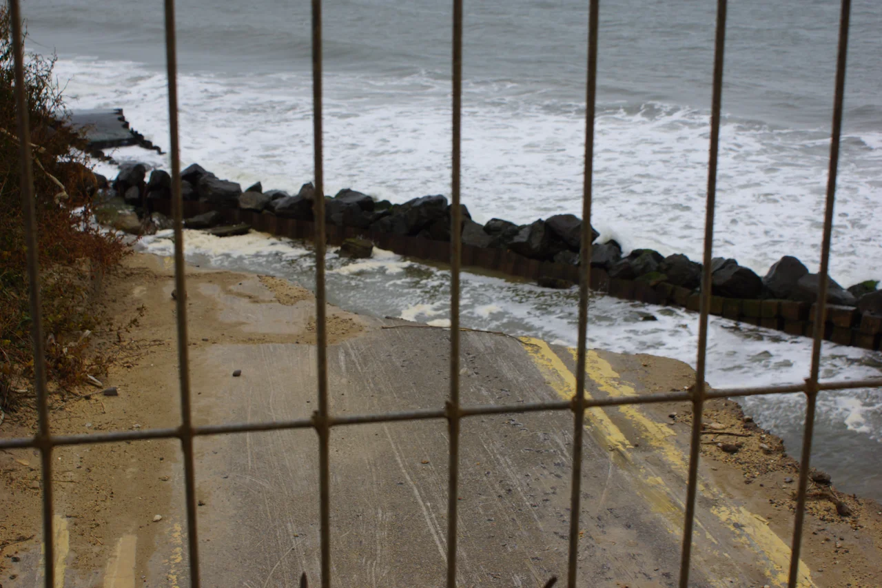
While the cliffs reveal ancient history, they also consume the present. Land has been lost at Happisburgh for centuries - the medieval village was further out to sea, and the current village stands well inland from where it began. The rate has accelerated. Houses on Beach Road that stood 20 feet from the cliff edge in 1998 now teeter on the brink or have already fallen. Sea defences built in 1959 slowed the erosion for a while but were never permanent. A change in central government policy in the 2000s removed funding for coastal protection here. In 2012, council workers demolished the last houses on the threatened stretch of Beach Road before the sea could take them. In 2023 the village agreed to move its car park inland - built deliberately with reusable materials so it could be picked up and shifted again when the cliff caught up. There is something almost philosophical about engineering for managed retreat.
St Mary's Church
Above the cliff stands the tall flint tower of St Mary's, built by Norman aristocracy on Saxon foundations after the 1086 Domesday survey, then rebuilt in the fifteenth century. The tower itself served generations of mariners as a daylight landmark, warning of the Haisborough Sands offshore. Inside, the church carries unusual scars and memorials. In 1940 a German bomber, returning to Germany after a raid, released a stuck bomb that fell on the church; shrapnel from the explosion is still embedded in the aisle pillars. A staircase added to the top of the tower in 2001 honours Thomas Marshall, a Happisburgh schoolboy murdered in nearby Eccles on Sea in 1997. The fifteenth-century octagonal font is carved with lions and satyrs.
The Lifeboat Tradition
The Haisborough Sands have produced enough shipwrecks to keep lifeboat crews busy for centuries. The Royal National Lifeboat Institution opened the first Happisburgh boathouse in 1866 - £189 then, on the cliff above Old Cart Gap - and the station has been continuously operating since 1965, when a new D-class inshore lifeboat went on service. The current D-class boat, D-607 Spirit of Berkhamsted, has been on station since October 2003. The lifeboat house was extended in 1987 and again in 1998. Like the lighthouse a short distance south, the lifeboat is a continuous local response to a continuous local hazard - the offshore sands that have been claiming ships since records began.
Names and Legends
Happisburgh first appears in the Domesday Book of 1086 as Hapesburc, meaning Hæp's fort or fortified place. The modern pronunciation - 'Haisborough' or 'Hazebro' - has confused outsiders ever since. Local legend offers a darker piece of folklore from the sixteenth century: a smuggler murdered in the parish was said to wander the village afterward as a ghost with no legs, his head hanging behind his back by a strip of skin, his body found in a well. The Weird Norfolk archive of regional ghost stories preserves this one as the Happisburgh Torso. Pleasant for a village that already lives with the slow drama of a disappearing coastline and 900,000-year-old footprints.
From the Air
Happisburgh village sits at 52.824°N, 1.531°E on the North Norfolk coast about 19 nm NNE of Norwich. Best viewed at 1,000-2,000 ft AGL to see the church tower, the candy-striped lighthouse half a mile south, and the eroding cliff line. Norwich International (EGSH) is the nearest airport at 19 nm. The cliffs here are clearly retreating from the air - houses sit close to the edge, with raw soil and beach below. The Haisborough Sands lie roughly 8 miles offshore to the east.
Nearby Stories
- RAF Deopham Green 4.3 km away
- Beccles 12 km away
- Binham Priory 13 km away
- Skegness Lifeboat Station 48 km away
- HMS Cobra 50 km away
- Battle of Lowestoft 55 km away
- SM U-97 79 km away
- SS Elbe 94 km away