
Hardknott Roman Fort
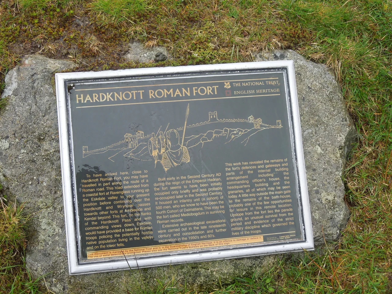
Five hundred soldiers from the Adriatic coast of what is now Croatia spent part of the second century AD garrisoning a stone fort 800 feet up a Cumbrian mountainside. Wordsworth, walking past the ruins more than 1,600 years later, called this "that lone Camp on Hardknott's height, whose guardians bent the knee to Jove and Mars." The poet was right about the loneliness. Stand inside the perimeter walls today, looking down the long green throat of Eskdale toward the Irish Sea, and the same questions surface that the Cohors IV Delmatarum must have asked themselves: how far from home are we, and what are we guarding?
Mediobogdum, in the Middle of the Bend
The Romans called the place Mediobogdum, a name preserved in the Ravenna Cosmography, a 7th-century list of place-names probably compiled from earlier Roman sources. The fort sits on a rocky spur giving a superb view over the River Esk in both directions and commanding the western approach to Hardknott Pass. It was built between AD 120 and 138 - the reign of Hadrian, the emperor who walled off northern Britain - and it was one link in a chain of forts that controlled the Roman road from Glannoventa on the coast at Ravenglass through the central fells to Galava at Ambleside. At 800 feet above sea level it is not the highest fort in Roman Britain; that title belongs to Epiacum, sometimes called Whitley Castle, just over the border in Northumberland at 1,050 feet. But Hardknott is among the most spectacular - a square enclosure 114 metres along each external wall, dropped onto a ledge above a valley with the seriousness of an architectural manifesto.
Soldiers From the Dalmatian Coast
The first garrison was a detachment of five hundred infantry from Cohors IV Delmatarum, a unit raised on the eastern shore of the Adriatic - the Dalmatian coast of modern Croatia. They had been moved across an empire that stretched from Hadrian's Wall to the Euphrates to garrison a wet, windy ridge above a salmon river. We don't know their names. We do know small, intimate things about them. In 1965, excavators near the fort's granary found a piece of leather they think came from a soldier's jerkin. In 1968, Dorothy Charlesworth and J.H. Thornton found more leather, including several shoes. Soldiers' shoes, in soil where they had lain for nearly two thousand years. The fort was abandoned around AD 140, possibly during the brief Antonine push into Scotland that moved Rome's northern frontier temporarily forward. It was reoccupied around AD 200 and held until the very end of the 4th century, when Roman authority in Britain finally crumbled. During those two centuries of occupation, an extensive vicus - a civilian settlement of traders, families and camp followers - grew up around the walls.
What the Stones Still Show
The plan is text-book Roman: square with rounded corners, a gate at the centre of each side, lookout towers at every angle, and an interior arranged on a clear grid. The rampart walls are 1.7 metres thick. Inside, the foundations of the headquarters building and the praetorium - the garrison commander's villa - remain readable in the turf, alongside two side-by-side granaries identifiable by their external buttresses. Long-lost timber buildings would have housed the barracks for the mounted auxilia. About two hundred yards up the slope to the east, reached by a track from the East Gate, is the parade ground, large enough that English Heritage believes horses were trained there. R.G. Collingwood's 1930 plan of the site showed embanked edges around the parade ground to keep it level on the sloping fellside. The fort's modern walls were rebuilt to a low height some years ago; a horizontal slate course shows where the original surviving stone ended and the restoration began.
A Camp in Poetry
The fort's strange remoteness has caught writers' imaginations across centuries. Wordsworth gave it a stanza in the 17th of his River Duddon sonnets. W.H. Auden mentioned it in his polemic poem Spain 1937. Geoffrey Trease set the opening chapter of his 1955 young-adult novel Word to Caesar at Hardknott, in a story dated to around AD 117. Canadian novelist Jack Whyte used it as the setting for The Fort at River's Bend in his Camulod Chronicles. None of them, you suspect, would have written about Hardknott if it had been built somewhere flatter. The National Trust owns the land now as part of its Wasdale, Eskdale and Duddon property, and English Heritage maintains the site itself. You can walk in any time. There is no gate and there is no ticket. The Dalmatian soldiers, on their long-ago tour of duty, would probably have been astonished.
Flight Context
Hardknott Roman Fort sits at 54.40 degrees north, 3.20 degrees west, on a rocky spur at about 244 metres (800 feet) above sea level, just west of the summit of Hardknott Pass. From the air it appears as a near-perfect square outline in the turf, with the partly rebuilt walls visible as low stone lines. Best viewed from 4,000 to 6,000 feet AGL; expect mountain rotor turbulence in westerlies. The fort lies along the line of the old Roman road between Ravenglass (about 7 nm west) and Ambleside (about 11 nm east). Nearest airfields: Walney Island Barrow (EGNL) about 22 nm south, Carlisle Lake District (EGNC) about 35 nm north.
From the Air
Hardknott Roman Fort at 54.40 N, 3.20 W, elevation about 244 m (800 ft), on a rocky spur just west of Hardknott Pass summit. From above, a near-perfect square outline in turf. View from 4,000-6,000 ft AGL; rotor turbulence in westerlies. Nearest fields: Walney Island Barrow (EGNL) about 22 nm S, Carlisle Lake District (EGNC) about 35 nm N.
Nearby Stories
- Isel Hall 3.3 km away
- Walney Island 7.1 km away
- Kendal 9.7 km away
- Lancaster Priory 10 km away
- Raeberry Castle 15 km away
- Cross Fell 21 km away
- Ramsey Bay 29 km away
- Santon Railway Station 47 km away