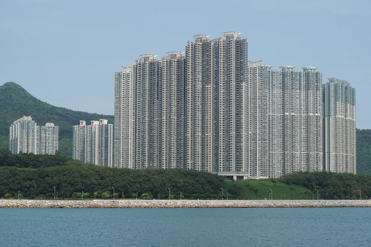

High Junk Peak
The name comes from the silhouette: from certain angles, High Junk Peak's pointed summit resembles the sail of a Chinese junk cutting across the sky. Hikers know it by another quality entirely — the incline. Standing at 344 metres within Clear Water Bay Country Park, the peak does not announce itself with impressive bulk. It announces itself with gradient. The trails to the top are rocky, steep, unmaintained by the government, and by local consensus one of the three sharp peaks in Hong Kong — a designation that carries real weight in a city where serious hillwalking is a weekend institution.
The Sharpest Skyline in Sai Kung
Hong Kong has mountains in every direction, and most of them are approachable. High Junk Peak is not quite that. It stands as the highest summit on the Clear Water Bay Peninsula, with Miu Tsai Tun rising just to its north as a gentler companion. The High Junk Peak Country Trail loops through the area, passing the base of the mountain west of the summit, but the route to the top branches off it into terrain the government does not maintain. Rocky outcrops replace clear paths. The final approach steepens considerably. Hikers who have done it routinely mention the footwear requirement not as a suggestion but as a necessity — the rock surfaces become treacherous in the wet, and rain comes often to Sai Kung's coastal hills.
What Cretaceous Fire Built
High Junk Peak is made of volcanic rock, the same material that shapes many of Hong Kong's tallest and most dramatic summits. Tai Mo Shan, the territory's highest peak at 957 metres, shares this volcanic heritage. The lava that produced these mountains erupted during the Cretaceous period, roughly 140 million years ago, when what is now southern China was geologically violent. Granitic rocks underlie some of Hong Kong's lower hills, older and more deeply eroded; the volcanic peaks tend to be younger, harder, and sharper. High Junk Peak's distinctive pointed form is not accidental — it is the result of rock that resists weathering more stubbornly than its surroundings, leaving the summit standing proud above the ridges it once shared with slopes long since worn away.
The View from the Summit
From the top, the panorama splits into two distinct worlds. Turn toward the sea and Lobster Bay opens below — a curved inlet on the Clear Water Bay coast, its water deep blue and untroubled, the horizon beyond it stretching to open ocean. Turn inland and the view changes: rooftops, towers, the green ridges of the New Territories stepping toward Kowloon. On clear days the urban skyline is visible beyond. This contrast — wild coast on one side, city on the other — is characteristic of Hong Kong at its most concentrated. Standing on the summit, you can see both worlds at once, separated by nothing more than the direction you're facing.
Getting Up, Getting Down
The starting point for the standard ascent is Ng Fai Tin, reachable by several bus routes. From there, the approach is gradual at first, climbing through brush-covered hillside before the gradient sharpens near the top. There are multiple routes, including one that circles the mountain without reaching the summit — an option that gives hikers the country park scenery without the scramble at the top. For those who push to the peak, the descent once required navigating a steep and slippery section that tested confidence on the way down. Steps have since been cut into the rock there, making the descent more manageable. The mountain is not a technical climb, but it demands more attention than most Hong Kong trails, and the summit rewards the effort with some of the most expansive views the peninsula offers.
From the Air
High Junk Peak is located at approximately 22.296°N, 114.286°E, within Clear Water Bay Country Park in Sai Kung, about 22 nautical miles northeast of Hong Kong International Airport (VHHH). The pointed summit is a useful visual landmark when navigating the Clear Water Bay Peninsula from the air. At 344 metres (1,129 feet), it presents minimal obstacle at normal cruise altitudes but should be noted during low-level VFR operations in the area. Lobster Bay is visible to the southeast, and the Kowloon urban area appears to the northwest on clear days. Sai Kung's coastal hills generate localized weather; expect turbulence in strong easterlies.
Nearby Stories
- Shek Pik 1.7 km away
- Tung Ping Chau 4.8 km away
- Hong Kong 12 14 km away
- Wanshan Archipelago Campaign 16 km away
- Pearl River Delta 18 km away
- Battle of Penghu 478 km away
- Penghu Air Raids 487 km away
- Cape Maobitou 596 km away