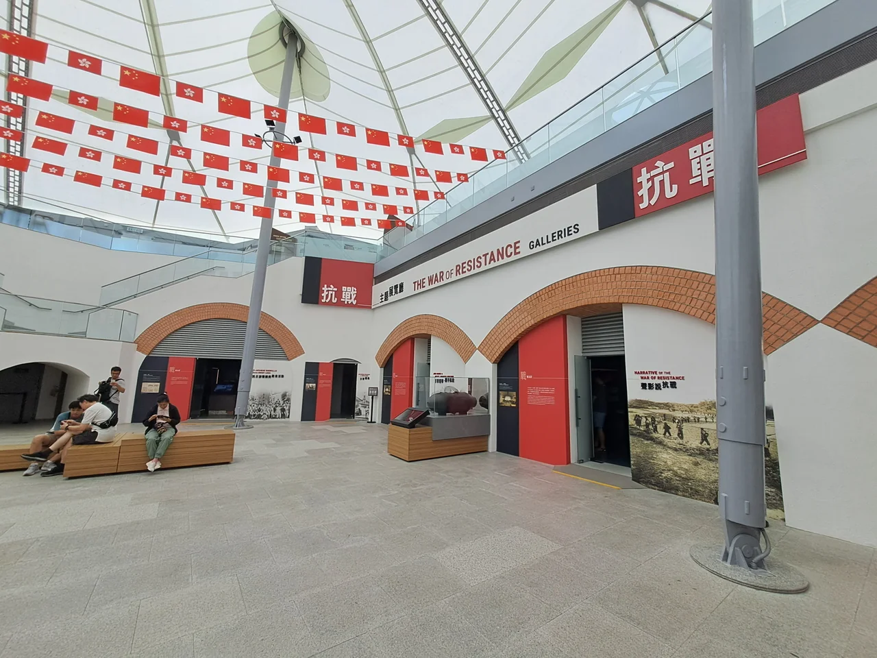

Hong Kong Museum of the War of Resistance and Coastal Defence
On the night of 18–19 December 1941, Japanese troops crossed the Lei Yue Mun Channel — the narrow strait separating Kowloon from Hong Kong Island — and overwhelmed the British defenders holding the fort on the eastern headland. The fortification had been built 54 years earlier specifically to prevent that crossing. It failed its one defining purpose, but it survived. Today, the guns are still there, the casemates have become galleries, and the fort that fell on that December night has been transformed into a museum contemplating everything that came before and after it.
The Fort That Guarded the Eastern Gate
The Lei Yue Mun Fort was built by the British in 1887, positioned to defend Victoria Harbour's eastern approaches against naval attack. The Redoubt, the fort's core military structure, was completed that year. The Central Battery followed — its main display piece is a 7-inch RML Mark I gun weighing 4.5 tons, dating from the 1870s. The Western Battery mounted two 9-inch muzzle-loading guns, one of whose barrels was later recovered from the Admiralty Garden site in 1990 and weighed 12 tons. Between 1892 and 1894, engineers hewed the Brennan Torpedo station directly out of the rock of the headland — the last such station constructed anywhere in Britain or its overseas possessions. These were serious weapons for a serious strategic problem: defending a harbour that had grown into one of the world's most valuable trading ports.
Eleven Days in December
Japan attacked Hong Kong on 8 December 1941, the same day as Pearl Harbor. The New Territories fell quickly, then Kowloon. British forces pulled back to Hong Kong Island and reinforced the Lei Yue Mun defences, trying to prevent the Japanese from using the narrow channel as a crossing point. The defenders repulsed several attempts, but on 18 December — under cover of darkness — Japanese troops crossed anyway, landing on the northeastern shore. By 19 December, the fort had fallen. The colony surrendered on Christmas Day, 1941, after 18 days of resistance. The fort's post-war life was quieter: a training ground for British forces until 1987, when it was finally vacated. The weapons that had failed to stop an invasion spent the next few decades pointing at an empty harbour.
Six Hundred Years of Coastal Defence
The museum opened on 25 July 2000, after the Urban Council decided in 1993 to convert the fort rather than demolish it. The permanent exhibition, titled "600 years of Coastal Defence," traces the history of Hong Kong's shores from the Ming dynasty through the First and Second Opium Wars, through the Japanese occupation, and into the post-handover era. The casemates inside the Redoubt became exhibition galleries. A Historical Trail winds through the outdoor military structures. The total museum area covers 34,200 square metres. Super Typhoon Mangkhut closed the museum in September 2018 for four years of repairs; it reopened on 24 November 2022, structurally restored but historically unchanged.
A New Name, a New Emphasis
On 3 September 2024 — the anniversary of Japan's surrender in World War II as commemorated in China — the museum was renamed. It was no longer the Hong Kong Museum of Coastal Defence. It became the Hong Kong Museum of the War of Resistance and Coastal Defence. The addition was deliberate: a new gallery now hosts regular exhibitions on China's War of Resistance against Japan, developed in partnership with cultural institutions on the mainland. Museum officials stated that the roles of British and Allied forces would not be diminished in the existing displays. Whether the balance holds in practice is a question visitors can assess for themselves. What is clear is that the fort, which once defended Hong Kong for the British Empire, now tells a story in which that defence is one chapter among several.
From the Air
The museum is located at 22.282°N, 114.236°E on the eastern tip of Hong Kong Island, overlooking the Lei Yue Mun Channel — the narrow strait between Hong Kong Island and the Kowloon peninsula. The channel is roughly 400 m wide at its narrowest point. From the air, the headland is clearly visible at the eastern entrance to Victoria Harbour. Hong Kong International Airport (VHHH) lies approximately 30 km to the west. Recommended viewing altitude: 2,000–4,000 ft. The Shau Kei Wan district and its MTR station (exit B2, a 15-minute walk to the museum) are visible just to the west of the fort headland.
Nearby Stories
- Lok Ma Chau Loop 2.3 km away
- Portas do Cerco 2.3 km away
- Kweilin Incident 17 km away
- Wanshan Archipelago Campaign 34 km away
- Nanxiong Formation 115 km away
- Battle of Nanpeng Island 148 km away
- Heyuan 169 km away
- Cape Maobitou 632 km away