
HVDC Vancouver Island
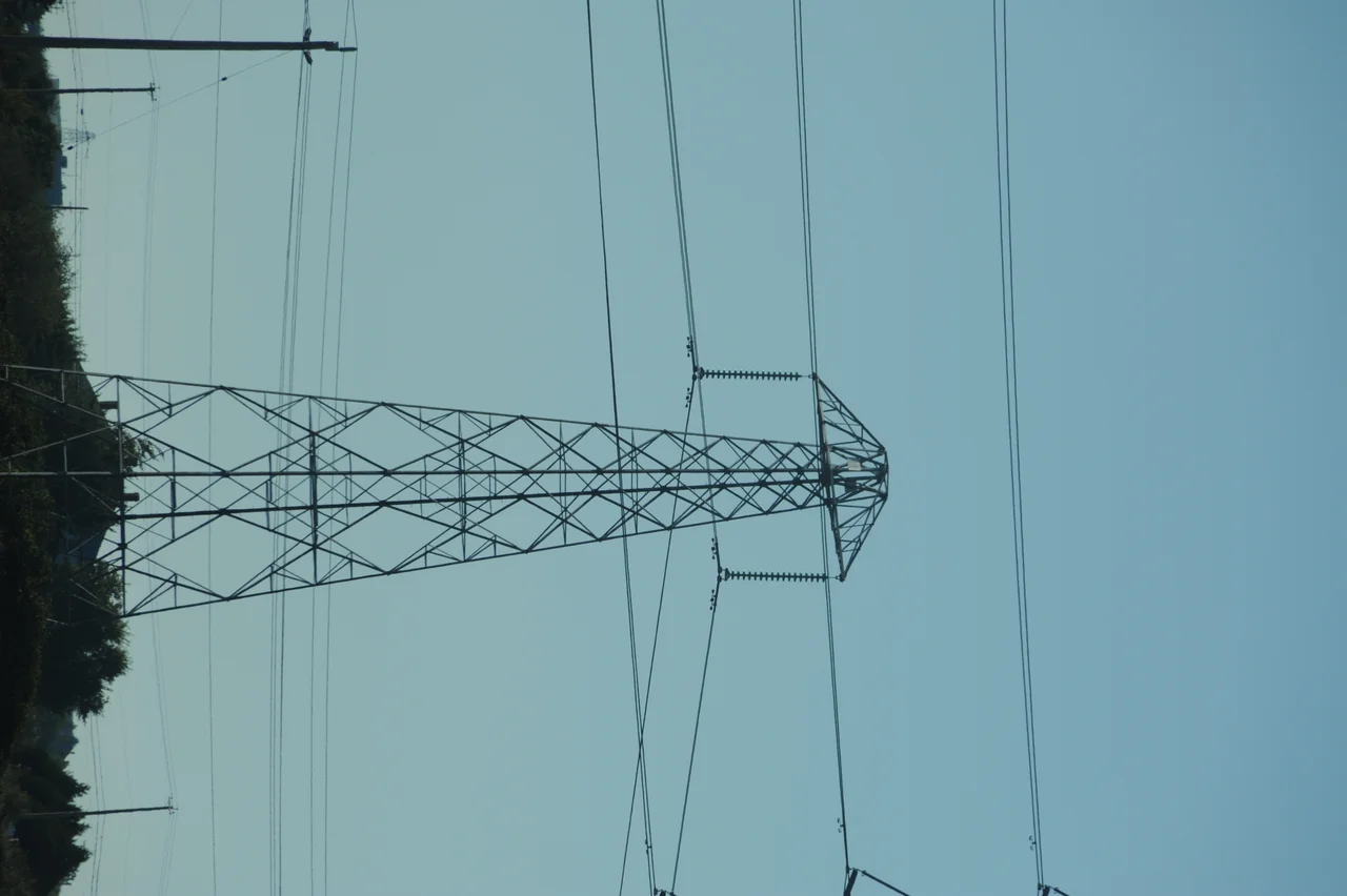
Look west across Sansum Narrows from the Salt Spring Island shore and you will see something that should not be possible. Two conductors leave the last tower on the island side and simply keep going, sagging in long catenary curves across 1,900 metres of open saltwater before landing on Vancouver Island. No tower in between. No pier, no island, nothing. There is a second span like it further east, 880 metres from Galiano Island to Parker Island. These crossings are the visible portion of a power link that spent nearly half a century pushing mainland electricity onto Vancouver Island, most of it out of sight under the Strait of Georgia.
The Island Problem
Vancouver Island has never generated all the power it consumes, and the water between it and the mainland is deep, busy, and unhelpfully wide. Alternating current behaves poorly in long submarine cables, where the cable's own capacitance wastes an increasing share of the capacity the further you go. Direct current does not have that problem. It requires expensive conversion equipment at both ends, turning AC into DC to make the crossing and back into AC on arrival, but once you have paid for the converters the cable itself can be as long as you need. BC Hydro built exactly that. The link ran from Arnott Substation in Delta, on the mainland, to the Vancouver Island Terminal near Duncan, and it went into service in 1968.
Seventy-Five Kilometres of Improvisation
The route is a peculiar hybrid, 42 kilometres of overhead line in three separate sections and 33 kilometres of submarine cable in two. Leaving Arnott, the overhead line splits, one branch heading for the Canoe Pass Terminal and the other for Tsawwassen Beach Terminal, where the first cable enters the water. It comes ashore on Galiano Island, crosses it southwest by overhead line, and leaves south of Montague Harbour on the 880-metre jump to Parker Island. A short walk across Parker, back into the sea, and the second cable run ends at Salt Spring Island. The line crosses Salt Spring west-southwest, passes north of Maxwell Point and Arbutus Point, makes the long leap over Sansum Narrows, and runs west to Duncan. Sea, island, sea, island, and finally land: a transmission engineer's compromise with a shattered coastline.
Mercury Vapour
The converters for the first pole belonged to an earlier technological era. They were mercury-arc valves, which rectify current by sustaining an electric arc through mercury vapour inside a sealed vessel, and they were not small. Each rectifier stood 6.10 metres high, 3.35 metres long and 1.22 metres wide, and weighed 4.5 tonnes. They lived in a valve hall 26.21 metres long, 11.89 wide and 11.28 high, a building designed around the machines inside it. The Swedish firm ASEA, later part of ABB, designed and supplied both terminals, sending a team of about ten engineers led by Ivan Hedlund for the first phase. That pole carried up to 312 megawatts at 260 kilovolts.
The Second Pole
By 1977, when BC Hydro added a second pole under Gunnar Ahgren's Swedish team, the technology underneath had changed completely. The new pole used thyristor valves, solid-state semiconductors with no mercury, no arc, and no moving parts, operating at 280 kilovolts and rated at 370 megawatts. The two poles ran side by side for decades, one of them a museum piece in daily service and the other its replacement, which is a neat illustration of how quickly power electronics moved in those years. The system also carried an unusual pair of ground electrodes: a land electrode at Boundary Bay on the mainland and a shore electrode in a bay off Sansum Narrows, used to complete the circuit through the earth itself when current exceeded 600 amps. Below that threshold, a separate metallic return line on wooden poles carried it back instead.
Switched Off, Left Standing
During regulatory hearings in 2005 over a new 230-kilovolt alternating-current submarine cable, the HVDC system was reported to be at the end of its service life and no longer considered reliable. The new AC cable was built, parallel to the old DC route, replacing one of the two earlier 138-kilovolt circuits. Pole 1 shut down in 2014 after forty-six years. Pole 2 followed in 2016. Nothing was torn out. The towers still stand on Galiano and Salt Spring, the cables still lie on the seabed, and the great spans over Sansum Narrows and Parker Island still hang there, carrying nothing at all. BC Hydro has kept the infrastructure in place on the reasonable theory that some of it may be worth using again. In the meantime the island has one of the more spectacular pieces of dead industrial sculpture on the coast, and most people who sail underneath it have no idea what it was for.
From the Air
The HVDC Vancouver Island route runs roughly between 49.05N, 123.07W at Arnott Substation in Delta and 48.78N, 123.70W at the Vancouver Island Terminal near Duncan, with its most visible feature at about 48.83N, 123.72W where a 1,900-metre span crosses Sansum Narrows between Salt Spring Island and Vancouver Island. From the air, trace the line of cleared transmission right-of-way cutting southwest across Galiano Island near Montague Harbour, reappearing on Salt Spring, and crossing the narrow blue channel of Sansum Narrows north of Maxwell Point. The Gulf Islands' fractured archipelago makes the route easy to follow. Boundary Bay Airport (CZBB) sits close to the mainland terminal in Delta, Duncan Airport (CAM3) is a few miles from the island terminal, Victoria International (CYYJ) is about 25nm south and Vancouver International (CYVR) about 20nm northeast of the Delta end. Best viewed at 2,500 to 5,000 feet. The overhead spans and their towers are significant obstacles on ridgelines and shorelines here, so check charts for wire crossings before any low flying in the Gulf Islands.
Nearby Stories
- Mesachie Lake 3.6 km away
- Island Rail Corridor 3.9 km away
- Canadian Forces Station Ladner 4.5 km away
- Patos Island Light 5.6 km away
- San Juan Island National Historical Park 6 km away
- Valdes Island 6.4 km away
- Juan de Fuca Marine Trail 11 km away
- Mount Arrowsmith Biosphere Region 19 km away