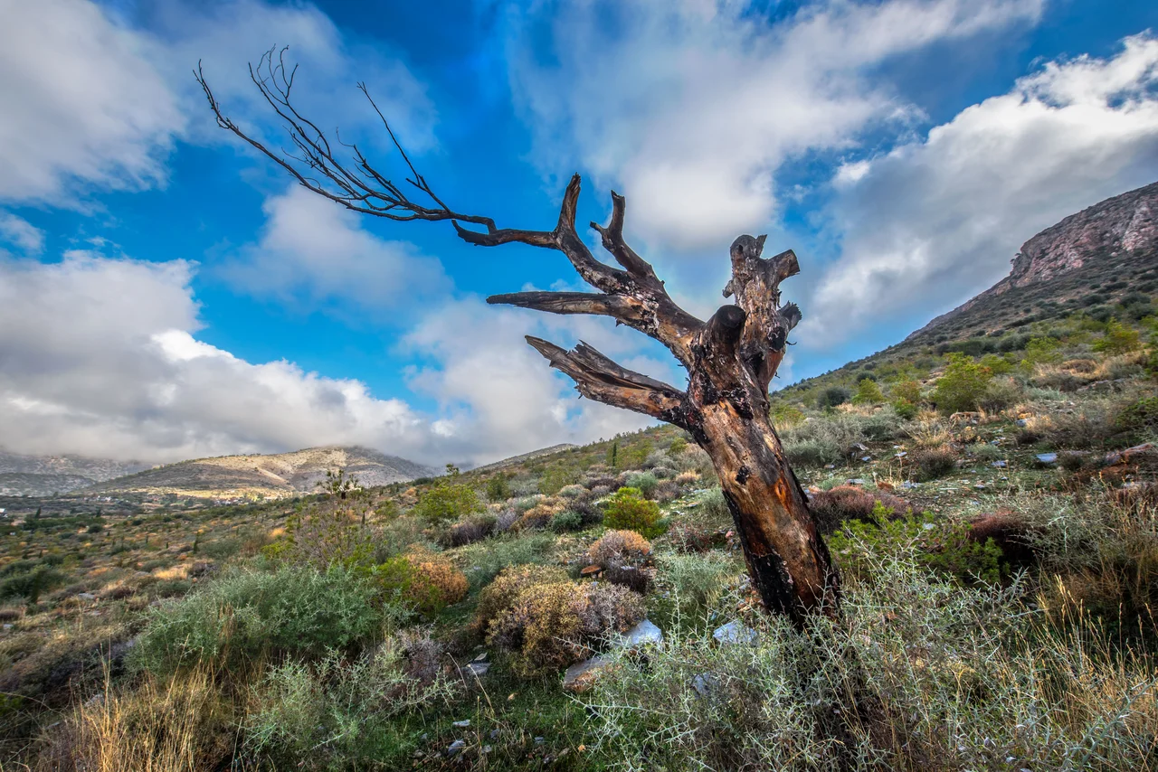

Hymettus
French travelers passing through Athens during the Ottoman occupation looked east and coined a nickname for the ridge that walls the city: "très long" — very long — which in the Greek ear became *Trellóvouno*, the crazy mountain. It is an odd name for a place that the ancient world associated with sweetness. Hymettus honey was the most prized in Greece. The thyme that covers its lower slopes scents the air in spring, and the bees that work those flowers have been doing so, in much the same way, since before Athens was Athens.
Shape and Scale
Hymettus runs 16 kilometers from the edges of Athens to the shore of the Saronic Gulf, its ridge reaching 1,026 meters at the summit known as Evzonas. It stretches 6 to 7 kilometers from east to west. In ancient times the highest peak was called Megas Hymettos — Great Hymettus — and the southern extension, drier and lower, was known as Anydros Hymettos, meaning waterless. Today those southern peaks carry the names Mavrovouni (black mountain) and Kontra. The mountain is now protected as part of the EU's Natura 2000 ecological network, a designation that acknowledges what the landscape cannot easily afford to lose: this close to a capital of four million people, green space of this scale does not come twice.
Gods, Offerings, and the Rain-Bringer
On the summit in antiquity stood a sanctuary to Zeus Ombrios — Zeus the rain-bringer. The name alone tells you something about what Hymettus meant to the city below: this was the mountain from which weather came, the ridge that caught the clouds rolling in from the Aegean. Offerings accumulated on the summit from the 8th and 7th centuries BC, though the site is now occupied by a military installation and closed to the public. Lower on the western slopes, an ancient quarryman's hut survives — one of only two buildings in all of ancient Attica that still preserves its original roof. At the mountain's northern end, a small cave called Liontari is named for a lion said to have once haunted the peak, terrorizing the settlements below. Lions are now known to have lived in Greece into historical times, making the legend less fanciful than it sounds.
Byzantine Stone and Monastic Time
Hymettus is layered with Christianity the way it is layered with thyme — thoroughly and without apparent effort. The Kaisariani Monastery is the most celebrated of its religious sites, built into the hillside on a site with ancient sacred associations, with the surviving church dating to the late 11th century and the monastery reaching its political and spiritual peak in the 12th and 13th centuries. Several other Byzantine monasteries cling to its flanks: the Monastery of St. John the Theologian between Cholargos and Papagou, others on the western and northwestern slopes. The marble quarried from Hymettus in antiquity — bluish-grey, distinct from the brighter white of Penteli to the north — was used across the ancient world. It gave the mountain one more association to carry through the centuries.
The Modern Mountain
Today, Hymettus holds a different kind of presence in the life of the city. The western slopes host major campuses of the University of Athens and the National Technical University, together called University Town, squeezed between a ring road and the urban sprawl. At the summit, TV and radio transmitter towers and military radar installations occupy the same ground where Zeus was once petitioned for rain. Access to the top is restricted to authorized vehicles. From that summit, on a clear day, you can see most of Attica: the new airport to the east, the mountains of Parnitha to the northwest, Penteli to the north, Aigaleo to the west. Athens spreads below in every direction, held in by the ridges like water in a bowl.
From the Air
Hymettus lies at approximately 37.9465°N, 23.8167°E, forming the eastern wall of the Athens basin. It is unmistakable from the air: a long, dark-green ridge running roughly north-south that defines the eastern edge of the urban sprawl. Pilots approaching Athens International Airport (LGAV, approximately 15 kilometers to the east) will see Hymettus as the terrain feature separating metropolitan Athens from the airport plain. The summit Evzonas reaches 1,026 meters (3,366 feet) MSL; maintain appropriate terrain clearance. The TV towers on the summit are visible from approach altitudes. Flying over the city at 4,000–8,000 feet, the monastery of Kaisariani is visible as a cluster of ochre and stone on the western slopes, roughly at the mountain's midpoint.
Nearby Stories
- Parnitha 3.4 km away
- Kea (island) 7.3 km away
- Sanctuary of Apollo Maleatas 11 km away
- Sousaki Volcano 12 km away
- Battle of Leuctra 14 km away
- Great Sand Beach 18 km away
- Agios Georgios (island) 23 km away
- Skyros 84 km away