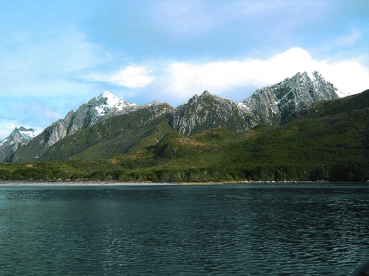

Isla de los Estados
Richard Henry Dana sailed past it in 1836, exhausted after months at sea, and longed for any sight of land. Then he saw Isla de los Estados and recoiled. "A more desolate-looking spot I never wish to set eyes upon," he wrote: "bare, broken, and girt with rocks and ice." That is the island's reputation in a sentence. Twenty-nine kilometres off the eastern tip of Tierra del Fuego, separated from it by the treacherous Le Maire Strait, it is a place sailors feared and almost no one calls home. The Yámana had a kinder name for it. They called it Chuanisin: land of abundance.
A Mountain Range Drowning
Isla de los Estados is, geologically, the Andes taking their final bow. Its highest peak rises 823 metres straight from the sea, regarded as the last great prominence of the mountain chain that runs the length of a continent before vanishing beneath the Southern Ocean. The island is barely sixty-five kilometres long and gashed by at least eighteen fjords, deep fingers of black water reaching inland between ridges of Jurassic rock. Dense low forests of southern beech cling to the slopes. Around two thousand millimetres of rain fall in a typical year, and the weather changes without warning or mercy; the island sits squarely in the path of the westerlies that circle the bottom of the globe unobstructed.
The Lighthouse at the End of the World
In 1884, Argentina inaugurated the San Juan del Salvamento lighthouse on the island's wild eastern shore. It burned for only about sixteen years before a newer light replaced it. But a passing detail of its existence reached Jules Verne, who turned it into the setting of his posthumously published novel, The Lighthouse at the End of the World. In the book, wreckers seize the keepers and use the beacon itself to lure ships onto the rocks. The fiction was darker than the truth, yet the truth was dark enough: these waters swallowed vessels routinely. A replica of the lighthouse, half its original height, now stands at the Ushuaia Maritime Museum, and the phrase Verne coined has attached itself permanently to the whole region.
Names Layered on Stone
The island's history is a roll call of people who arrived and rarely stayed. The Spanish captain Francisco de Hoces may have been the first European to glimpse it, in 1526, his ship blown off course in a storm. In 1615 the Dutchmen Jacob le Maire and Willem Schouten named it Staten Landt for their parliament, briefly believing it might be an arm of a vast unknown southern continent. On New Year's Day 1775, James Cook named a harbour Año Nuevo. Seal hunters came and went; a short-lived prison operated from 1896 until the wind made it untenable. Each language that touched the island left its own word for it: Jaiwesen, the Haush said, region of cold; Kéoin-harri to the Selk'nam, the mountain range of the roots.
Abundance, After All
The Yámana were not wrong. Beneath the forbidding surface, the island teems. Magellanic and southern rockhopper penguins nest here in one of the more southerly Atlantic colonies of their kind. Imperial shags wheel over the cliffs; striated caracaras patrol the shores; orcas hunt offshore. Seals that were once slaughtered for oil now haul out undisturbed, because the island is a protected provincial reserve where almost no one is allowed to land. The only permanent presence is the Puerto Parry naval station, established in 1978 and staffed by a handful of seamen on six-week rotations, watching the weather, the wildlife, and the empty horizon. Access is limited to a few tours sailing out from Ushuaia, into water that has not grown any calmer since Dana cursed it.
From the Air
Isla de los Estados sits at roughly 54.78°S, 64.25°W, off the eastern tip of Tierra del Fuego across the Le Maire Strait. The nearest airports are on the main island: Río Grande (SAWE) to the northwest and Ushuaia – Malvinas Argentinas (SAWH) farther southwest. From the air the island is unmistakable: a long, mountainous landmass deeply serrated by fjords, ringed by white surf, with Cape Saint John marking its eastern end and tiny Observatorio Island lying just to the north. Recommended viewing altitude is 4,000–8,000 ft to take in the fjord structure. Conditions are among the most hostile in the hemisphere: relentless westerly winds (averaging up to 37 km/h in August), cloud cover roughly three days in four, and sudden storms. Clear visibility is rare and short-lived.
Nearby Stories
- Sinking of ARA General Belgrano 140 km away
- Picton, Lennox and Nueva 144 km away
- Estancia Harberton 170 km away
- Tierra del Fuego 208 km away
- Cabo de Hornos National Park 222 km away
- Río Grande (Argentina) 244 km away
- New Island 345 km away
- Sea Lion Island 396 km away