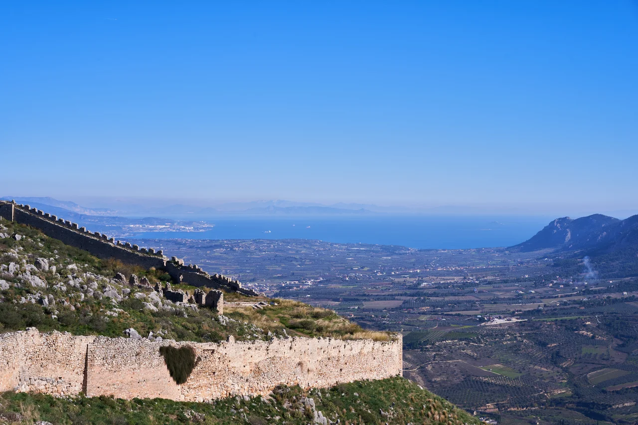

Isthmus of Corinth
An ancient stone boundary marker once stood on the Isthmus of Corinth bearing two inscriptions, one facing each direction. Toward the east it read: 'Here is not Peloponnesus, but Ionia.' Toward the west: 'Here is Peloponnesus, not Ionia.' The geographer Strabo recorded both in the first century AD, and Plutarch credited the hero Theseus with erecting the stele on his way to Athens. In six words of Greek, two worlds announced themselves — and the five-kilometre strip of land between them became one of the most strategically coveted pieces of ground in history.
The Hinge of Two Seas
Stand at the edge of the Corinth Canal today and the sheer walls drop nearly 90 metres to the water below. To the west lies the Gulf of Corinth, opening toward the Ionian Sea and Italy; to the east, the Saronic Gulf reaches toward the Aegean and the Levant. The isthmus connecting the Peloponnese to the Greek mainland is barely six kilometres wide at its narrowest, but that slender thread has always controlled the movement of armies, goods, and empires. Whoever held the isthmus held the key to the Peloponnese. Ancient Corinth understood this perfectly, and grew wealthy taxing the traffic that crossed it.
A Dream Two Thousand Years in the Making
Every few generations, someone looked at the isthmus and decided to cut through it. The tyrant Periander tried first in the 7th century BC, gave up when the engineering defeated him, and instead built the Diolkos — a stone trackway along which ships were hauled on wooden rollers from one sea to the other. Remnants of the Diolkos still survive beside the modern canal. Julius Caesar saw the value of a proper cut for his new Roman colony at Corinth. By the reign of Tiberius, Roman engineers had another go; they too failed for lack of tools adequate to the task, and reverted to rolling boats across on logs, a method borrowed from ancient Egypt and still in use by AD 32. In AD 67, the emperor Nero ordered six thousand men to dig with spades. The historian Flavius Josephus records that these workers were enslaved Jewish prisoners taken captive by Vespasian during the Jewish wars. According to Pliny the Elder, they advanced about 0.8 kilometres before Nero died and his successor Galba cancelled the project as too expensive.
The Canal That Finally Arrived
Greece gained independence from the Ottoman Empire in 1821, and the canal idea resurfaced almost immediately — proposed in 1830, a fitting ambition for a young nation seeking to announce itself. But serious construction did not begin until 1882, and the canal opened in 1893 after eleven years of labour. At 6.3 kilometres long and just 21 metres wide, it was immediately problematic for modern shipping: most large vessels were already too broad for it. Yet something remarkable had happened. Since 1893, the Peloponnese has technically been an island. The canal made it so. Today six bridges cross it — two road bridges, two railway bridges, and two submersible bridges that sink below the waterline so that tall vessels can pass.
The Wall Across the World
The canal was not the only line drawn across the isthmus. The Hexamilion wall — whose name means 'six-mile wall' — was a Roman defensive fortification built in the early 5th century AD across the full width of the isthmus, guarding the only land approach to the Peloponnese from the Greek mainland. It was reinforced and contested repeatedly: by Theodosios II, by the Byzantine emperor Manuel II, by the Venetians, and by the Ottoman sultan Mehmed II after his conquest of Constantinople. Stretching from the Saronic Gulf to the Gulf of Corinth and incorporating the fortress at Isthmia, the Hexamilion is recorded as the largest single archaeological structure in Greece.
A Stone Path Between Eras
Near the canal, the Diolkos trackway is slowly crumbling. The ancient stone ramp that Periander built in the 7th century BC — the portage road that kept commerce moving for a thousand years — is eroding at the water's edge, partly undermined by the canal works and insufficiently protected since. Greek conservation groups have called for urgent government intervention. The irony is complete: the canal that finally achieved what Periander could not is now threatening the road he built because he couldn't.
From the Air
The Isthmus of Corinth lies at 37.933°N, 22.984°E, easily spotted from the air as the slender neck joining the Peloponnese to mainland Greece. The Corinth Canal cuts a dead-straight line through it, visible from altitude as a thin blue slash flanked by pale limestone cliffs. The Gulf of Corinth opens to the west; the Saronic Gulf shimmers to the east. Recommended viewing altitude is 3,000–5,000 feet for the full geographic drama. Nearest major airport: LGAV (Athens International Eleftherios Venizelos), approximately 70 km to the northeast. The ancient city of Corinth and Acrocorinth's limestone citadel are visible to the southwest.
Nearby Stories
- Stymfalia 3 km away
- Sanctuary of Asclepius, Epidaurus 4.6 km away
- German Submarine U-133 (1941) 5.9 km away
- Battle of the Trench (1821) 6.7 km away
- 1981 Gulf of Corinth Earthquakes 12 km away
- Aigeira 13 km away
- Agios Thomas, Boeotia 14 km away
- Agios Georgios (island) 36 km away