Jalaur Dam
For sixty years, the Jalaur Dam existed mostly as a promise. Republic Act 2651 authorized its construction in 1960. The first phase was completed in the 1980s. The second phase broke ground in 2019. It was finally inaugurated on July 16, 2025. In the Philippines, where infrastructure projects routinely outlive the administrations that launch them, the Jalaur River Multi-Purpose Project stands as both an engineering achievement and a case study in institutional patience. The dam now impounds the second-largest river on Panay Island, and its consequences will ripple across the lives of 25,000 farming households.
Water for the Rice Bowl
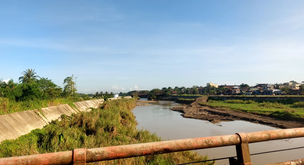
The numbers tell a story of transformation. The dam is projected to provide year-round irrigation to 31,840 hectares of farmland across more than two dozen municipalities and cities in Iloilo province. Rice production is expected to increase by more than 300 metric tons. Iloilo City will receive an estimated 86,000 cubic meters of water daily, while the dam generates approximately 6.8 megawatts of electricity. For a region that has historically depended on seasonal rains to water its paddies, the shift to year-round irrigation changes not just crop yields but the entire rhythm of agricultural life. Farmers who once planted a single annual rice crop can now plan for two or even three.
Built on a Fault Line
The dam sits 9.8 kilometers east of the West Panay Fault, the same geological feature responsible for the destructive 1948 Lady Caycay Earthquake, which damaged buildings, heritage sites, and churches across Panay Island. This proximity has been a persistent concern throughout the project's history. The second-phase design, engineered by South Korea's Daewoo Engineering and Construction, accounts for seismic risk, but the geography is a reminder that the Visayas occupy one of the most tectonically active regions on Earth. To the west rises the Central Panay Mountain Range, whose watersheds feed the Jalaur River and whose highest peak, Mount Madja-as, reaches 2,117 meters above sea level.
A Korean-Filipino Partnership
The dam's second stage was built by Daewoo Engineering and Construction Co., Ltd., with partial funding from the Export-Import Bank of Korea. This Korean-Filipino partnership delivered three dams in the municipality of Calinog and a high-line canal stretching through nine municipalities from Calinog to Oton, along with the rehabilitation and modernization of existing national irrigation systems across the province. The total project cost reached 19 billion Philippine pesos. Beyond the physical infrastructure, the project includes environmental and watershed management components and an institutional development program, an acknowledgment that building a dam is only useful if the systems around it are equipped to manage what follows.
The Work That Remains
Although the dam structure became operational in 2025, the National Irrigation Administration aims to complete all remaining civil works by October 2027. An additional 5.96 billion pesos was approved for the irrigation component, signaling the scale of work still required to connect the reservoir to the farmland it was designed to serve. The canals must be finished. The existing irrigation networks must be modernized. The institutional capacity to manage water distribution across two dozen municipalities must be built and maintained. The Jalaur Dam is not a ribbon-cutting story. It is an ongoing commitment, one that began with a legislative act in 1960 and will not be truly complete until water flows reliably to the last hectare of the last municipality on its list.
From the Air
Located at 11.17N, 122.46E in the municipality of Calinog, Iloilo, on the island of Panay. The dam sits in a tributary valley east of the Central Panay Mountain Range. The nearest major airport is Iloilo International Airport (RPVI), approximately 60 km to the southeast. From the air, the reservoir is visible as a body of water nestled in mountainous terrain. The high-line canal extending from Calinog toward the coast is traceable across the landscape in clear conditions.
Nearby Stories
- St. Joseph the Worker Chapel, Victorias 3 km away
- Santa Barbara Church (Iloilo) 8 km away
- San Jose de Buenavista 18 km away
- Hacienda Rosalia 30 km away
- Gigantes Islands 37 km away
- Maniguin Island Lighthouse 38 km away
- Sibuyan Island 110 km away
- Cuyo, Palawan 112 km away