
Jardine's Lookout
Before the telegraph, before the telephone, before the radio mast, there was a man on a hilltop watching the sea. In the early 19th century, that man watched for the sails of Jardine Matheson's clippers coming in from India and London. The moment a vessel appeared on the horizon, a fast whaleboat was dispatched to collect the mail. The correspondence was rushed to the trading house so that the directors could read the latest news from world markets before any competitor. On at least one occasion — in 1866 — this intelligence saved the company: it learned of the collapse of the London discount house Overend, Gurney and Company about an hour before others did, and rapidly withdrew its bank balances. The hill is 433 metres high. The view is still extraordinary. The practice is still called 'inside information.'
The Hill That Watched the Sea
William Jardine, the Scottish physician who co-founded Jardine Matheson in 1832 and used his connections to help push Britain toward the First Opium War, never saw Hong Kong as a colony — he died in 1843, the year the island was ceded. But his name settled across the landscape anyway. Jardine's Bazaar. Yee Wo Street, which carries his firm's Chinese name. And this hill, east of Happy Valley, south of Causeway Bay, where his lookout men once counted masts. The hill was named for what they did there, which is a particular kind of permanence: not a plaque or a statue, but a topographical fact.
The Battle at the Gap
In December 1941, the landscape that had once served commerce became a battlefield. Japanese forces landed on the north shore of Hong Kong Island on the night of December 18–19 and moved rapidly inland. They used Sir Cecil's Ride — a path that runs across the southern face of Jardine's Lookout — to advance toward Wong Nai Chung Gap, the pass that divides the island's north from its south. Commonwealth forces defending the gap included the Hong Kong Volunteer Defence Corps, Middlesex Machine Gunners manning pillboxes around Jardine's Catchwater, and Canadian Winnipeg Grenadiers on the adjacent Mount Butler. The fighting was fierce and the defenders were outnumbered. Within days the gap fell, and with it any real hope of holding the island. The Battle of Wong Nai Chung Gap remains one of the most studied engagements of the Pacific War's opening phase. The pillboxes are still there, grown over with subtropical forest, if you know where to look.
The Most Expensive Neighbourhood You've Never Heard Of
Today Jardine's Lookout is better known for its property prices than its history. The residential area nestled between Wong Nai Chung Gap and Mount Butler is one of the most exclusive addresses in Hong Kong — more expensive per square foot, by some measures, than Victoria Peak. Thirteen roads wind through it, each named after a notable British colonial figure. There are no hospitals, few public facilities, and almost no tourists. Large detached houses occupy private lots, some built in the 1950s and sold in recent years to wealthy buyers from mainland China. In 2015, one house at 1 Purves Road reportedly sold for around HK$760 million, approximately HK$100,000 per square foot. The seclusion is intentional. Quiet is expensive here.
The Hiker's Reward
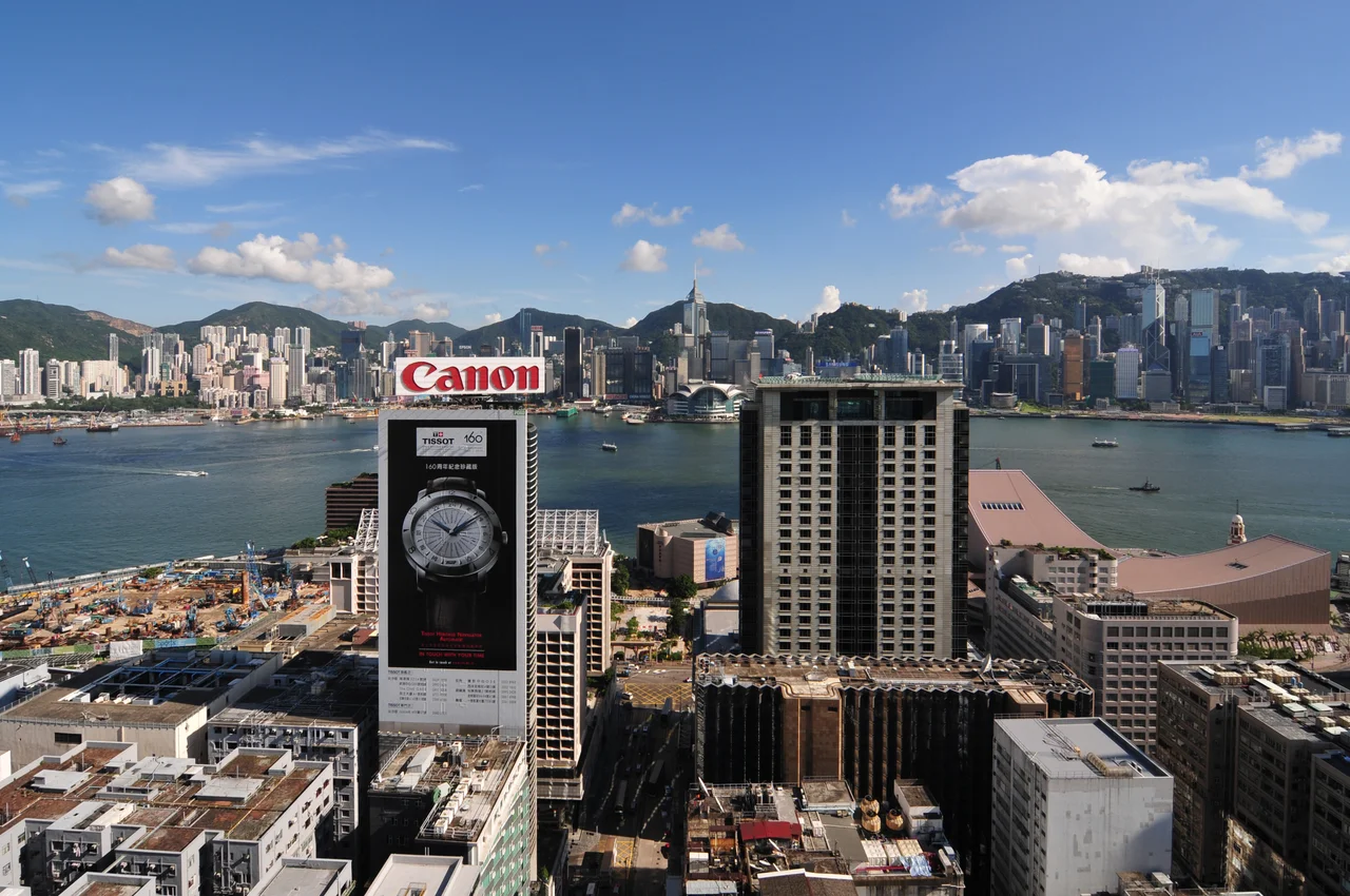
Jardine's Lookout is accessible to anyone willing to walk. Hikers often start near Hong Kong Parkview and follow the Wilson Trail upward through secondary forest and across open ridgeline. The Gallery Route, which traverses the hillside with views opening toward Victoria Harbour, is considered among the most scenic hikes on Hong Kong Island. At the summit, on a clear day, you can see east across Taikoo and Quarry Bay, west toward Central, north across the harbour to Kowloon, and south toward the green hills above Stanley. The trading post and the battlefield and the billionaire's enclave are all visible from the same spot. The man watching for sails would have seen all of it too, though he would not have recognized much of what was there.
From the Air
Jardine's Lookout is located at 22.268°N, 114.192°E in Wan Chai District, rising to 433 metres (1,421 ft) above sea level. It sits on the southeast portion of Hong Kong Island, east of Happy Valley and south of Causeway Bay. From the air, it is part of the central ridge of Hong Kong Island, easily identified east of the Happy Valley Racecourse oval. The nearest international airport is VHHH (Hong Kong International Airport, Chek Lap Kok), approximately 30 km to the west. Recommended viewing altitude is 3,000–5,000 ft to appreciate the full ridge profile and surrounding urban density. Terrain rises sharply; maintain safe altitude when flying over Hong Kong Island's interior.
Nearby Stories
- Lok Ma Chau Loop 2.3 km away
- Portas do Cerco 2.3 km away
- Kweilin Incident 17 km away
- Wanshan Archipelago Campaign 34 km away
- Nanxiong Formation 115 km away
- Battle of Nanpeng Island 148 km away
- Heyuan 169 km away
- Cape Maobitou 632 km away