Jussara
A town named for a beauty queen is rarer than you'd think. In 1950, the agricultural colony of Água Limpa - a modest rural outpost belonging to the old city of Goiás - was renamed Jussara after Jussara Amorim, the first woman from Goiás to win the Miss Brasil title. Eight years later the town was dismembered from Goiás and elevated to a full municipality. The pageant moment faded from national memory. The name stuck. Today Jussara is a working cattle town in the Vale do Araguaia, 222 kilometers west of Goiânia, but the civic identity still carries that 1950 flourish - a patch of interior Brazil that borrowed its official name from a winning sash.
Rivers and Their Work
Jussara lies in the Amazon basin - a surprising fact for a place so far from the rainforest, but the Araguaia drainage reaches deep into central Goiás. Five rivers define the municipality: Samambaia, Água Limpa, Araguaia, Molha Biscoito, and Palmeira. In the dry season the Araguaia retreats to expose broad white beaches that have become the main tourist draw - locals call them the praias do Araguaia, river beaches that function like ocean beaches for a few months a year. Flora and fauna pack the riparian forests that line the channels. Caimans bask. Tuiuiús - the tall jabiru storks - stalk the shallows. The cerrado takes over inland.
A Cattle Herd That Dwarfs the Population
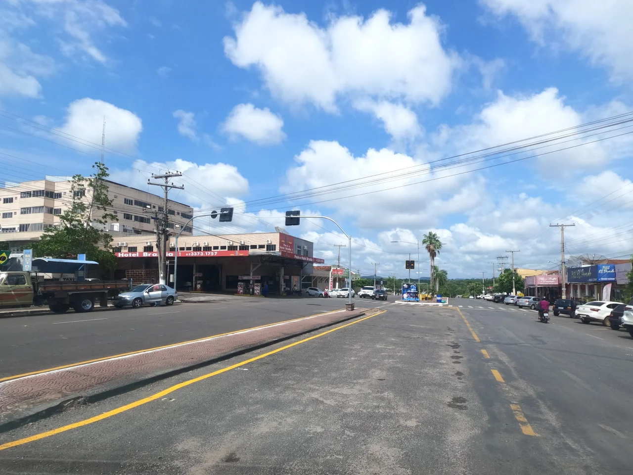
Jussara's human population in 2007 was 18,814 - and its cattle herd was 388,000, one of the largest in the state of Goiás. That ratio - twenty head of cattle for every human resident - is the economic reality of the municipality. The soil is rich, stretching across 80,000+ hectares of pasture and cropland, and the mineral subsoil holds cassiterite, nickel, and chromium. Brick factories turn out floor tiles, bricks, and roof tiles. A dairy, a handful of transformation industries, and a network of 287 retail establishments round out the local economy. Cotton covers 1,600 hectares, beans 3,200, and soybeans 4,650 - the usual interior crops.
The Tropical Swing
The climate here tips into the upper range of tropical heat, with summer temperatures commonly pushing 35 to 38 degrees Celsius. The Vale do Araguaia bakes in the dry season, then floods when the rains come. This is the rhythm that shapes everything else - the cattle schedule, the crop cycle, the beach season. Vegetation ranges from classic cerrado on the higher interfluves to gallery forest along the rivers, and in places remnants of denser Amazonian forest on the westernmost edges. The cerrado here still carries some of its original diversity, though decades of pasture expansion have steadily thinned the native cover.
The Slow Leak
Jussara's population has been shrinking since 1980. That year it counted 22,520 residents; by 1991 it was 20,917; by 2007 it had dropped to 18,814. The decline reflects the long outward pull from small interior municipalities toward Goiânia, Brasília, and São Paulo - a pattern repeated across rural Goiás through the 1990s and 2000s. Schools lost roughly 1,500 students between 2000 and 2006. One hospital with 92 beds handles the health needs of the municipality. The literacy rate has held at 84.9 percent. The HDI of 0.740 in 2000 placed Jussara 104th out of 242 Goiás municipalities - middling, not failing.
What the Miss Brasil Trophy Left Behind
Jussara Amorim's win in 1950 is largely forgotten outside Goiás, but renaming a town for a queen was a gesture typical of mid-century Brazil - a gesture of optimism, of modernity breaking into the interior, of a state that wanted to feel part of the national conversation. The pageant was in its heyday then, and Goiás was still emerging as anything other than a frontier. The town the sash named is now a quiet agricultural municipality crossed by BR-070 and the state highways GO-324 and GO-418, bordering Britânia, Montes Claros de Goiás, Fazenda Nova, Santa Fé de Goiás, Novo Brasil, and Itapirapuã. Cattle graze. The Araguaia runs. The beaches open in August, fill with family camps, and close again in April when the waters return. In the archives of Brazilian beauty pageants, Jussara Amorim is a footnote. On a Goiás map, she is a municipality.
From the Air
Coordinates 15.87°S, 50.87°W. Jussara sits at around 300 meters elevation on the transition between the Goiás plateau and the lower Araguaia basin. Nearest significant airport is Goiânia (SBGO), 222 km east. From altitude, the Rio Araguaia cuts a broad arc to the west - the broadest visual feature of the region - and BR-070 traces an east-west line through town. Dry-season flights (June-August) reveal the white Araguaia beaches clearly against the cerrado's yellowing grasses.
Nearby Stories
- Montes Claros de Goiás 13 km away
- Goiás, Goiás 15 km away
- Itapuranga 36 km away
- Iporá 45 km away
- Anicuns 46 km away
- Aruanã 86 km away
- Araguainha Crater 189 km away
- Central-West Region, Brazil 254 km away