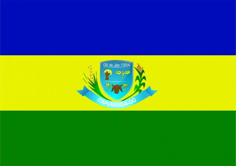
Itapuranga
In 1933 a small group of Dominican friars walked from the old colonial town of Goiás to the left bank of the Rio Canastra, unpacked their altar supplies, and said mass under the spreading branches of a Xixá tree. That was the beginning of Itapuranga - which at the time was called Xixá, after the tree itself, because the tree had been the church. A decade later, the settlement took a new name drawn from the Tupi language: itapuranga, meaning red rock or place of pretty stones. The friars stayed. A general store opened. A public school went up. A road pushed north to the old capital. By 1953 the town had enough critical mass to detach from Goiás and become its own municipality.
Capital of the Valley
Local boosters call Itapuranga the capital of the Vale do São Patrício - the Saint Patrick's Valley - a name the region's Irish-Brazilian history explains. The valley is one of the most fertile corners of the Goiás plateau, which is why the Dominicans acquired the land in the first place and why cattle, sugarcane, and corn have made a living here ever since. The city sits northwest of Goiânia and directly north of the old colonial capital, reachable from the state capital via GO-070 to Itaberaí and then GO-156 through Heitoraí. It shares municipal borders with Carmo do Rio Verde, Faina, Guarita, Heitoraí, Morro Agudo de Goiás, Uruana, São Patrício, and old Goiás itself.
Sugarcane and Corn
By 2006 the municipality had 1,441 farms spread across 65,894 hectares, of which 11,000 were cropland and more than 40,000 were pasture. The cattle herd reached 134,000 head. The most important crop was sugarcane - 9,400 hectares planted and 855,000 tons harvested that year - followed by corn at 5,500 hectares. Bananas, rice, coconuts, and soybeans fill in the rotation. The Distrito Agroindustrial de Itapuranga, opened in 2006, gave local producers a place to mill and process without sending everything to the bigger cities. Eighty-seven industrial establishments and 243 retail outlets round out the economy.
Two Seasons, Mild Extremes
The rainy season runs October through April. The dry season fills the rest of the calendar. Temperatures cover a wide band - as cool as 11°C on a dry-season dawn and as hot as 38°C in late afternoon before the rains break - but the average settles comfortably at 25°C. Vegetation cover here is more mosaic than monoculture: small clumps of forest, bushes, open fields of grass, and pockets of classic cerrado. About 8.7 percent of the municipality is cultivated; close to three-quarters is pasture. Cerrado proper covers only 8.2 percent, reduced over decades by the same agricultural pressure that made the valley prosperous.
The Red Rock
The name itapuranga is a compound of two Tupi elements - ita (rock or stone) and puranga (pretty, or in some readings red) - pointing at the local geology. The Rio Canastra runs near the old settlement, its stones worn smooth by the seasonal floods. The landscape around town is the classic Goiás plateau: gently rolling, dotted with low ranges, punctuated by the ragged lines of gallery forest along the streams. The city has grown to a population roughly of 25,000, with the districts of Cibele and Diolândia and the hamlets of Lajes and São José attached to it. Rural population has been steadily shifting into the urban center since 1980 - a pattern repeated across interior Brazil.
A College Town in Miniature
For a municipality its size, Itapuranga runs a respectable education system: 27 schools serving about 6,800 students, plus a campus of UEG - the state university - hosting the Faculdade de Educação, Ciências e Letras de Itapuranga. Literacy has climbed to 82.9 percent. Five hospitals with 141 beds cover the regional health needs. The Human Development Index in 2000 put the city at 128th out of 242 municipalities in Goiás - solidly middle, not showy, but stable. In the decades since the Dominican friars said that first mass under the Xixá tree, the town has traded the altar for the lecture hall and the general store for the agro-industrial district. The valley still produces what it always has: cane, cattle, corn, and the dust of red rock along the rivers.
From the Air
Coordinates 15.56°S, 49.95°W. Itapuranga lies on the Goiás plateau at roughly 600-700 meters elevation. The nearest significant airport is Goiânia (SBGO) about 155 km south. From altitude, the Rio Canastra cuts a visible line through the cerrado patchwork, and the ridges of the Vale do São Patrício stand out in dry-season light. BR-153, the main north-south artery of Goiás, passes to the east and provides clear visual reference.
Nearby Stories
- Goiás (city) 12 km away
- Jussara 26 km away
- Jaraguá, Goiás 34 km away
- Aruanã 64 km away
- Our Lady of the Rosary Parish (Pirenópolis) 66 km away
- Mozarlândia 79 km away
- Montes Claros de Goiás 97 km away
- Uruaçu 97 km away