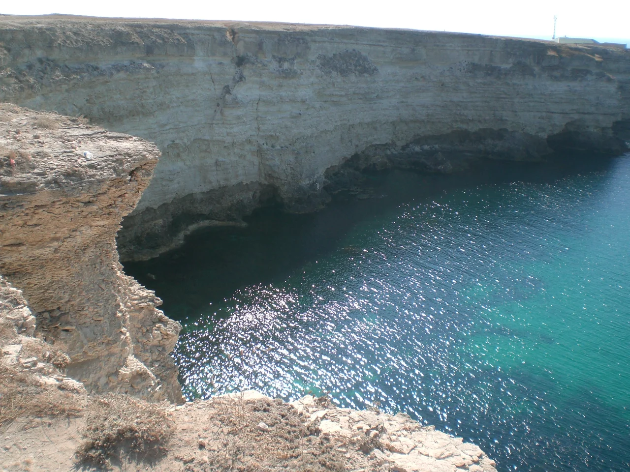

Karkinit Bay
Look closely at Mercator's world map of 1569 and you will find, tucked into the northern Black Sea, a bay labeled Golfo de Nigropoli, named for a city that has since vanished so completely that geographers still argue over exactly where it stood. That bay is real, and it endures under a different name. Karkinit Bay separates the northwestern tip of the Crimean Peninsula from the Ukrainian mainland, a broad, shallow arm of the sea whose shifting spellings across the centuries read like a history of everyone who ever tried to chart these waters.
A Colony's Ghost Name
The name reaches back to the ancient Greeks. Somewhere along this Crimean coast, near where the resort city of Yevpatoria stands today, the Greeks founded a settlement they called Kerkinitis, and the bay took its name from that colony. The city is long gone, but its name drifted onto the water and stayed. The Greek geographer Strabo, writing two thousand years ago, recorded yet another name for these waters, the Gulf of Tamyraca. Every label is a fossil of a vanished world: Kerkinitis the trading colony, Tamyraca the classical gulf, Nigropoli the lost city of the Renaissance mapmakers. To read the bay's names in order is to watch civilizations rise and disappear along a single stretch of shore.
The Puzzle of Nigropoli
The Nigropoli mystery lingers. An eighteenth-century source described the city as sitting on the Silch River, which flowed into the Black Sea west of Crimea and formed its own gulf, and scholars now suspect that river was the mighty Dnieper. Whether Nigropoli was a real place, a garbled memory, or a cartographer's invention, its name once floated authoritatively across the most influential map of its age. The Mercator projection would reshape how humanity pictured the world, yet here, at Karkinit Bay, it preserved a phantom. The bay keeps that secret still, offering no city to match the name that once marked it.
Where the Birds Come Down
Names aside, Karkinit Bay is above all shallow, calm, and alive. Its northeastern reach, near the Isthmus of Perekop, narrows into what is called the Perekop Bay or Gulf of Perekop. The waters shelter a protected nature area, and together with the neighboring Dzharylhach shallows they form a wetland recognized under the international Ramsar convention as a site of global importance. For migrating birds tracing the great flyways between Europe, Africa, and Asia, these placid shallows are a place to rest and feed. The ancient names may belong to lost cities, but the living meaning of the bay belongs to the geese and ducks that still descend on its quiet waters each season.
From the Air
Karkinit Bay opens across roughly 45.80°N, 32.62°E, a broad shallow indentation between Crimea to the south and the Kherson mainland to the north. From cruising altitude in clear air the bay reads as a wide pale-green shelf of shallow water, with the low sandbar of Dzharylhach Island marking its northern edge. Kherson (ICAO UKOH) lies to the northwest; Saky (UKFI) to the southeast.
Nearby Stories
- Soviet Cruiser Chervona Ukraina 9.3 km away
- Charming Harbor National Nature Park 14 km away
- Zaliznyi Port 19 km away
- Black Sea Biosphere Reserve 28 km away
- National Space Facilities Control and Test Center 35 km away
- Isthmus of Perekop 49 km away
- Tendra Spit 57 km away
- Danube Delta 198 km away