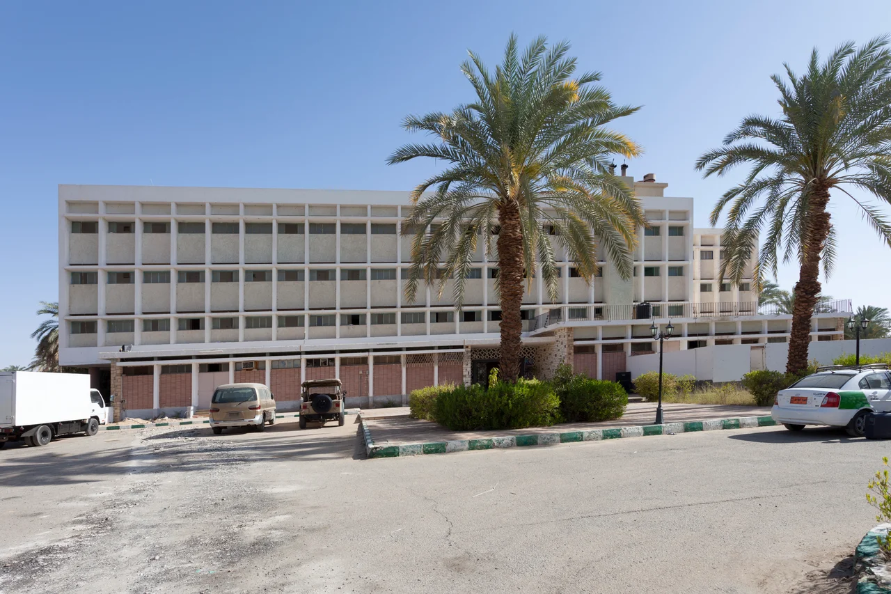

Kharga Oasis
Drink it all up and say shukran, because once you leave Kharga there is nothing but desert. That is the local wisdom here, in the largest and most southerly of Egypt's western oases, a green ribbon 160 kilometers long stranded in an ocean of sand. The reason to come is what lies just outside the modern town: a temple raised by a Persian king, an early Christian city of the dead, and a line of crumbling Roman forts. They were not built here by accident. For thousands of years Kharga was the last reliable shade and water before the long blank crossing to the Nile, and whoever held the oasis held the road.
Fossil Water in a Rainless Place
Nothing about Kharga's survival is given. Rainfall here is effectively zero, and summer temperatures climb past 40 degrees Celsius. Every drop the oasis drinks is fossil water, drawn up from an ancient aquifer laid down in wetter ages, a reserve that does not refill. The oasis stretches as much as 80 kilometers wide in places, yet it exists entirely on borrowed time and borrowed rain. Modern Egypt has tried to make the desert pay. A standard-gauge railway was driven across the sand in 1989 to haul phosphate from Kharga's deposits to the Red Sea coast, but by the time the track was finished the price of phosphate had collapsed, the mines were never opened, and the line was simply abandoned. The rails still run beside the highway, going nowhere, a monument to one more scheme the desert outlasted.
A Persian Temple and a Christian City of the Dead
Just north of Kharga town stands the Temple of Hibis, one of the best-preserved ancient Egyptian temples in the Western Desert. Construction began in the 26th Dynasty and was continued and decorated by the Persian king Darius I of the 27th Dynasty in the early fifth century BC. Its walls still carry great reliefs of Darius greeting the Egyptian gods, a foreign emperor speaking the visual language of the priests he ruled. A short distance away lies El Bagawat, among the oldest and best-preserved Christian cemeteries in the world. From roughly the third to the seventh century AD, Egyptian Christians built more than two hundred small mud-brick chapels here, and inside some of them, painted onto the domes, biblical scenes still glow after sixteen centuries: Adam and Eve, the Exodus, figures at prayer. Persian, Roman, Christian, the oasis kept the records of every power that passed through, because everyone who crossed the desert had to stop at Kharga first.
The Forty Days Road
The forts ringing Kharga guarded one of the oldest and grimmest highways in Africa: the Darb el-Arba'in, the "Forty Days Road," which ran north and south between the Sudan and Middle Egypt. Caravans took roughly forty days to cross it, and Kharga was the last great stop before the final push to Asyut on the Nile. North along the route came gold, ivory, ostrich feathers, and spices. And for centuries the same road carried enslaved men, women, and children, marched north out of Darfur and the lands beyond, sold at the river markets at the road's end. The trade was vast and it was old, and the merchants of antiquity rested their camels in Kharga's shade before plodding on toward the markets of the Nile. It is easy to romanticize a caravan route. It is harder, and more honest, to remember that a great many of the travelers on this one did not come willingly, and that for them the oasis was not a relief but a waypoint on the way to a life stolen from them.
The Edge of the Map
Kharga today is the quiet capital of Egypt's New Valley, an entirely modern town wrapped around an ancient idea. Buses grind in from Asyut across the Nile, three or four hours over the Kharga Pass; a lonely highway runs south through Baris and on toward where Darfur lies, before losing its nerve and looping back to the oasis of Dakhla. There is no border crossing into Sudan, and none into Libya. Out past the towns the mobile signal dies within a few kilometers and does not return. The oasis remains what it has always been: a green island, a place to take on water and rest in the shade, ringed by a desert that has buried railways and empires alike and is in no hurry to give back what it takes.
From the Air
Kharga Oasis sits at roughly 25.25°N, 30.55°E in Egypt's Western Desert, about 200 kilometers west of the Nile Valley. From the air it is unmistakable: a long, irregular green strip of cultivation and date palm pressed into otherwise unbroken tan desert, the New Valley's southern anchor. The oasis runs roughly 160 kilometers north to south, with the modern town and the antiquities, the Temple of Hibis and the El Bagawat necropolis, clustered near its northern end. Best appreciated from medium altitude (6,000 to 10,000 feet AGL), where the contrast between irrigated green and dead sand is sharpest and the abandoned phosphate railway can be traced as a straight line beside the highway. Kharga has an airport (HEKG) but effectively no scheduled traffic; the nearest active fields lie east in the Nile corridor, including Asyut (HEAX) and Luxor (HELX), with Cairo International (HECA) well to the north. Skies are typically clear with excellent visibility, but the khamsin and the localized dust whirlwinds the locals call Soba'a can disrupt flight plans with little warning.
Nearby Stories
- Italian Invasion of Egypt 70 km away
- Dakhla Oasis 72 km away
- Temple of Seti I (Abydos) 125 km away
- Abydos, Egypt 145 km away
- Elephantine 220 km away
- Nubian Museum 269 km away
- White Desert National Park 283 km away
- Selima Oasis 404 km away