Khartoum North
Khartoum is really three cities. Look down on the Nile confluence from a plane and the pattern is obvious: the city of Khartoum itself on the southern wedge, Omdurman across the White Nile to the west, and Khartoum North, or Khartoum Bahri, on the east bank of the White Nile where it meets the Blue. Before the war began in April 2023 the three-city agglomeration held about 4.3 million people; Bahri alone counted 1,012,211. Of the three, Bahri has always been the industrial one. Tanneries, breweries, brickworks, textile mills, sawmills, dockyards, and rail workshops fill its southern districts. The name itself means north, and the word Bahri points to the river: this is the place where Sudan's northbound trade begins, where the dhows and the trains have always loaded.
Before Khartoum Was Khartoum
Khartoum North is older than Khartoum. The original settlement at the confluence, before the Egyptians arrived in the 1820s to establish their military garrison and administrative headquarters, was on what is now the Bahri side. The Egyptians chose the southern wedge for their new capital, and that choice sidelined the older town for a century. The Mahdist state that displaced Egyptian rule in 1885 chose Omdurman as its capital, further eclipsing Bahri. The British, reconquering Sudan in 1898, refounded Khartoum on the southern wedge and kept it as the capital. Khartoum North might have stayed marginal forever. Then the Sudan Military Railroad reached it in 1899, with Bahri as its southern terminus, and the industrial city began to grow.
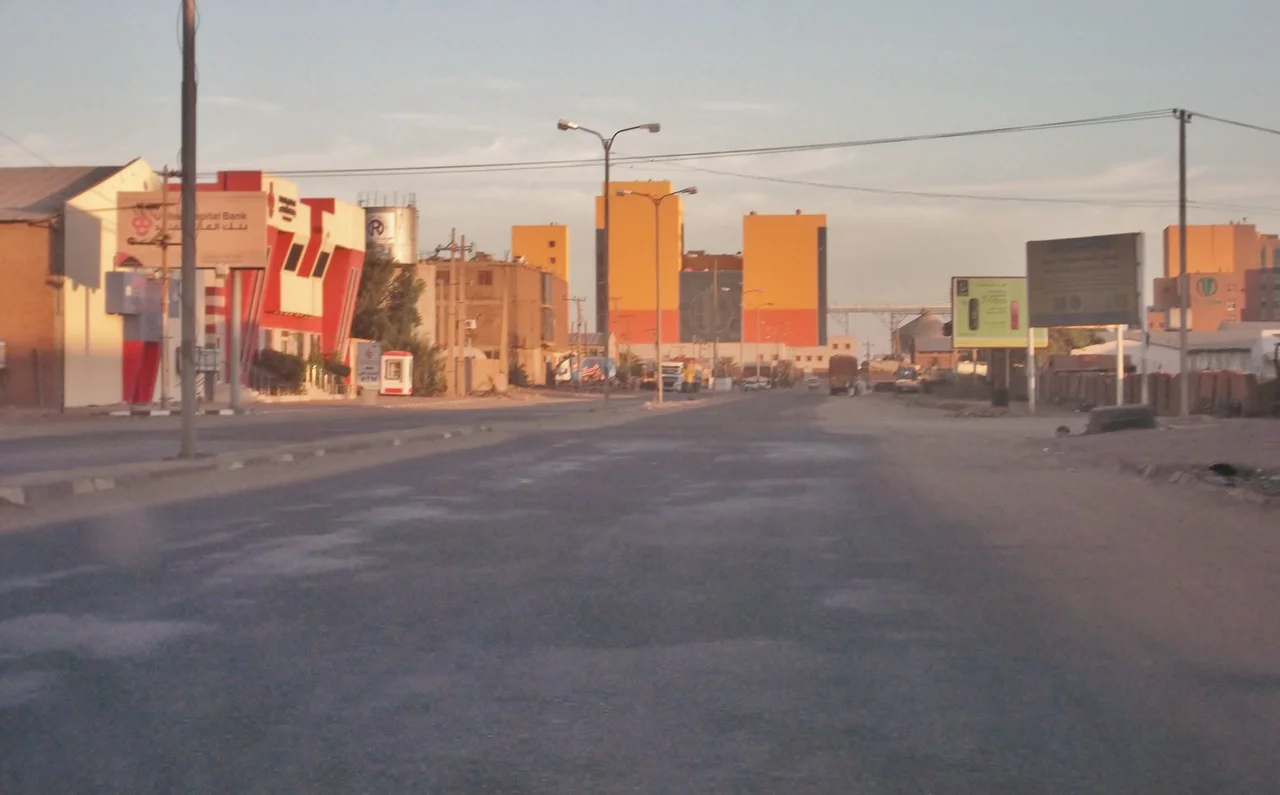
Industry of a Country
By the twentieth century Bahri had become the manufacturing heart of Sudan. Dockyards on the Blue Nile. Marine and rail workshops. Sawmills processing timber from the south. Tanneries, breweries, brickworks. The Bahri Industrial Area concentrated most of it. Trade in cotton, grains, fruit, and livestock moved through Bahri's markets. Textile weaving and food processing added to the mix. After 2000 chemical plants began supplying household products to the rest of the country. The eastern edge of the neighborhood, along the Blue Nile, developed into a wealthy suburb of villas and gardens. This was where Khartoum's engineers, industrialists, and foreign-connected merchants built their homes. Kafouri, the district named for the Lebanese farmer Aziz Kafouri, was one of the most prestigious.
Districts Within a District
Bahri is administratively one city, but it is many neighborhoods. Alamlaak. Kober, where Kobar Prison has held political opponents since the colonial period. Kafouri. The Bahri Industrial Area. Al Haj Yousif. Al Sababi. Al Dnagla North and South. Hilat Hamad, Hilat Khojali, Hilat Koko. Alshabia North and South. Almazad. Almugtaribin (the name literally means the expatriates or the absent ones). Almerghania. Alsafia. Shambat, which gave its name to the Shambat Bridge. Khoglab. Alqadisia. Al-Durushab. Each neighborhood has its own character, its own mosque, its own history of arrivals and departures. The tribes of Abdallab and Batahin are the old residents. Kordofani people displaced by the droughts of the 1980s came in numbers.
Bridges Over the Blue Nile
Connecting Bahri to central Khartoum requires crossing the Blue Nile. Five bridges did the work. The Mac Nimir Bridge. The Blue Nile Road and Railway Bridge. Cooper Bridge. Al Mansheiya Bridge. The Shambat Bridge crossed the Nile (the main course after the confluence) to connect Bahri to Omdurman, until it was destroyed in 2023. One bridge out of five destroyed is one too many for a city whose traffic depends on river crossings. The Al Halfaya Bridge further downstream handles additional traffic. Universities, Mashreq, the University of Bahri, Alzaiem Alazhari, Al-Salama College of Science and Technology, fill the city's intellectual life. Alsafia Cinema once ran movies.
Held, Then Taken Back
Bahri fell early in the 2023 war. The Rapid Support Forces captured the city during the opening stages of the conflict and held most of it through 2024. Residents who had not fled in the first weeks found themselves living under a paramilitary occupation, with fighting periodically remaking the street geography. The Sudanese Air Force bombed RSF positions, sometimes destroying the residential blocks around them. Water and electricity failed. Markets closed. The Shambat Bridge came down in 2023. In February 2025, as part of the 2024-2025 Bahri offensive, the Sudanese Armed Forces retook the city. The reconstruction, when it can begin, will be enormous. Bahri was always industrial, always working. Most of it has stopped. Some of its institutions are trying to start again. Whether the country can afford to rebuild its manufacturing heart while fighting continues elsewhere is one of the hard questions of Sudan's current moment.
From the Air
Khartoum North (Bahri) sits at 15.63 degrees north, 32.63 degrees east, on the east bank of the White Nile at its confluence with the Blue Nile. The city forms the northeastern corner of the three-city Khartoum agglomeration. From altitude the confluence is unmistakable; Bahri occupies the eastern wedge of land between the two Niles. Khartoum International Airport (HSSK) sits at the southeastern edge of Khartoum proper, across the Blue Nile from Bahri. The Halfaya Bridge connects Bahri to areas further north; several bridges cross the Blue Nile to Khartoum. Climate is hot arid.
Nearby Stories
- Esh Shaheinab 27 km away
- Naqa 56 km away
- Mahdist War 65 km away
- Musawwarat es-Sufra 100 km away
- Gezira State 101 km away
- Northern Sudan 215 km away